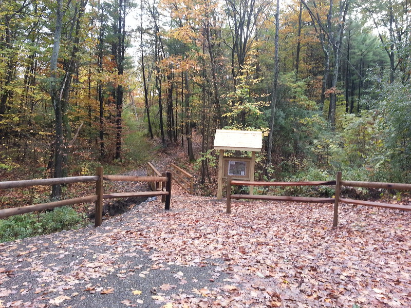
Since the outing was done on impulse, I didn't have a proper camera along, so I apologize for the phonecam shots. The new trailhead has parking for four or five cars, a kiosk, and a bridge over a little stream.
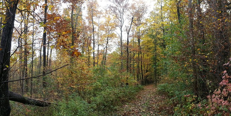
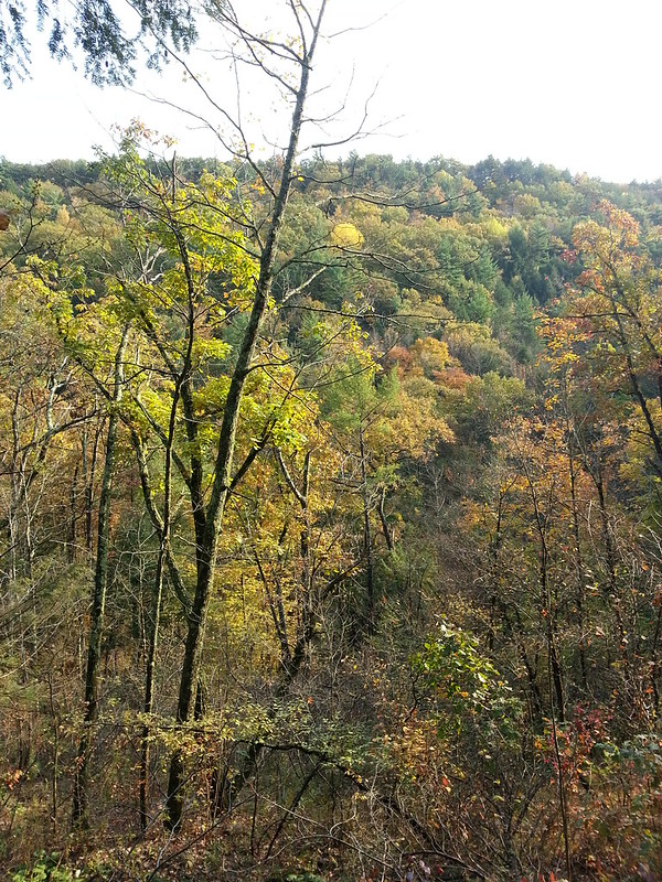
The access trail in from there is a pleasant level walk, and the fall colours were at their peak. It has a few wet spots, but there are bog bridges over the really bad mud.
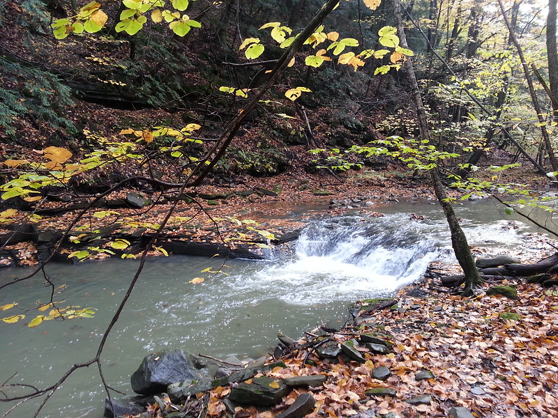
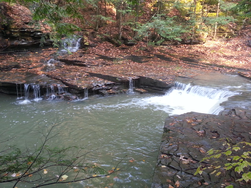
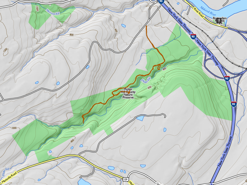
Once I reached the red-blazed north rim trail, I turned right (west) and headed upstream. Since this was just a nice stroll without a specific destination in mind, I was willing to spend some time lallygagging, and took a couple of the side trails that lead down to the stream. They were wet and steep, and one goes down a knife-edge ridge with steep drop-offs on both sides, but I didn't take any spills. The first one goes down to a cascade of at least three little waterfalls, that I'm told is called Step Falls.
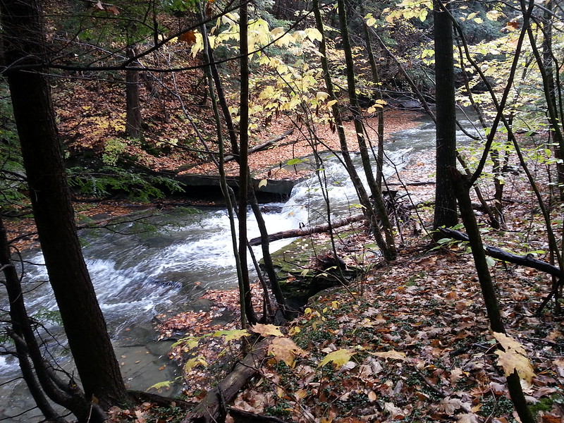
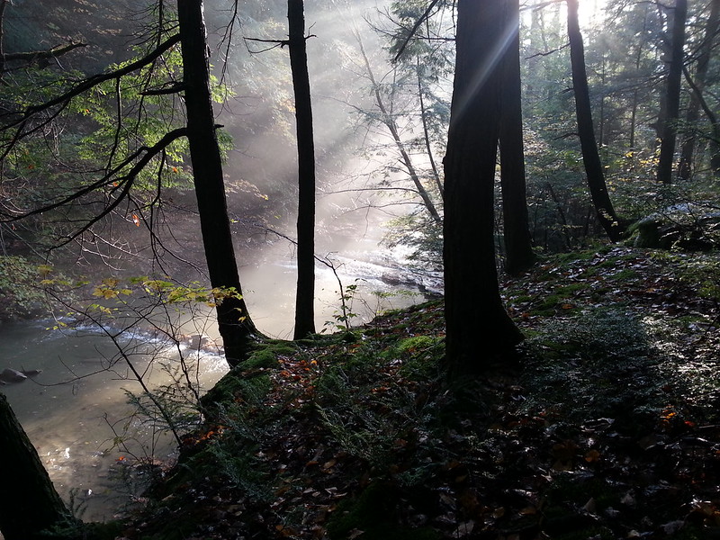
The other, farther upstream, comes down to a beautiful little glen, with a cascade that I'm told is Sergeant Falls. Walking down into it, the mist rising from the recent rain made the light just magical.
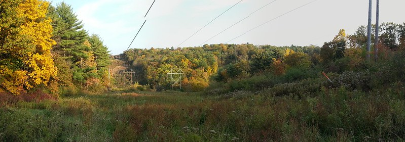
I continued up the rim trail to the second stream crossing (the one by the landslide), and was going to try to bushwhack up the stream bank to the bottom of the two tall waterfalls, Lower Plotter Kill Falls and Rynex Kill Falls. But by the time I got down there, the sun had sunk below the rim of the gorge, and reasoning that I still had a 45-minute walk back to my car, I simply turned around and walked back. The low-angled sunlight offered some dramatic vistas as I recrossed the two power line cuts.
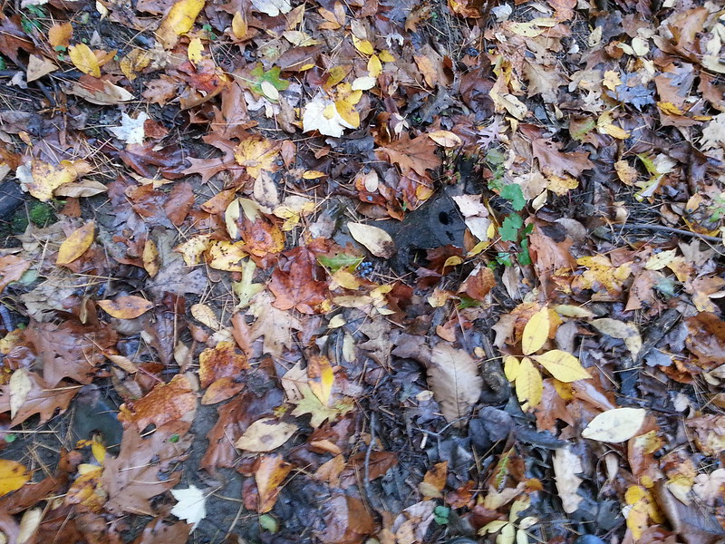
The walk out, like the walk in, was over the fresh leaf litter, making a colourful if slippery carpet underfoot.
All in all, a great way to spend a few hours on a Sunday. Not big miles, but harder than it looks because of the three slippery descents to the stream from the rim of the gorge.
Read more...