2015-05-16 Mapping the Helderbergs
There's been too long a hiatus in blogging here, but I've been kind of busy. Still, I've recently had the opportunity to get in a little bit of walking (on easy trails: I won't dignify it with the term, 'hiking') and mapping for OpenStreetMap.
The last few mapping outing, I've been concentrating on the little nature preserves that are strung out like beads along the rim of the Helderberg Escarpment. Many of them are fairly new, since Albany County has been pursuing conservation easements and outright property transfers in recent years, to try to preserve the view as well as the unique environment of the Heldebergs.
2015-04-18 Wolf Hill
On 25 April, I did the first of these mapping expeditions this
spring, starting with the
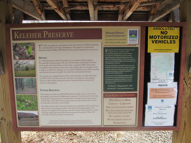
Keleher Preserve
atop
Wolf Hill.
This is a smallish (447 acre) plot, with a few miles of moderate
trail. Like all of the Helderberg preserves, people tried to farm
this land once upon a time, despite the shallow and poor
soil. There is ample evidence of ruins. The land was in private
hands until two parcels were conveyed to the Mohawk Hudson Land
Conservancy in 2010 and 2014.
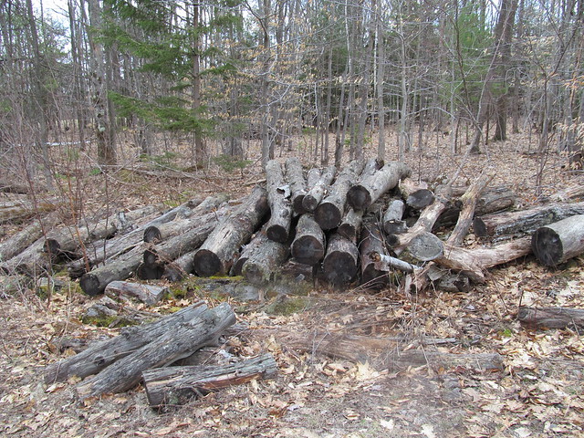
I hiked in past evidence of recent logging,
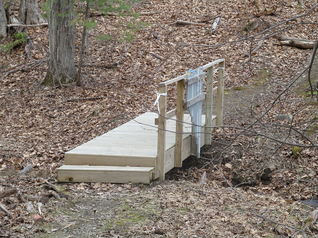
I quickly came to an interesting conceit that I've now seen in
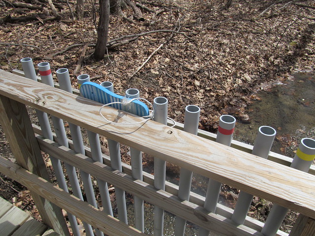
several of the preserves: a bridge fitted with lengths of PVC pipe
tuned like organ pipes. You play it by beating on the tops of the
pipe with flipflops that are tied to the bridge. I tapped a couple
of bars of a Mozart melody and continued, smiling inwardly, but
still more pleased with the babble of the brook.
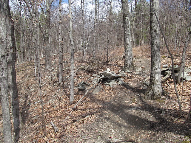
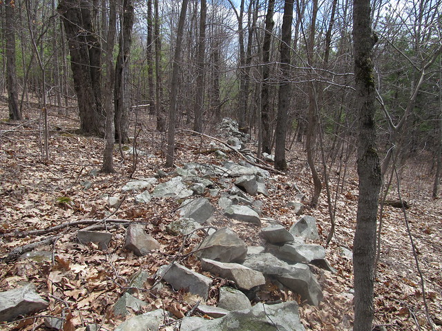
The trail steadily ascends the hill, past a number of stone walls
that once bordered fields and pastures.
I thought that I'd follow the abandoned Wolf Hill Road to the
south end of the preserve, where there are reported to be some
nice views. Because of the road's being unblazed, and my
unfamiliarity with the preserve, I turned off too soon, down an
abandoned logging road. I lost the road a couple of times, but
each time I found it again and followed it south - inadvertently
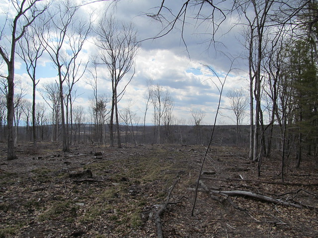
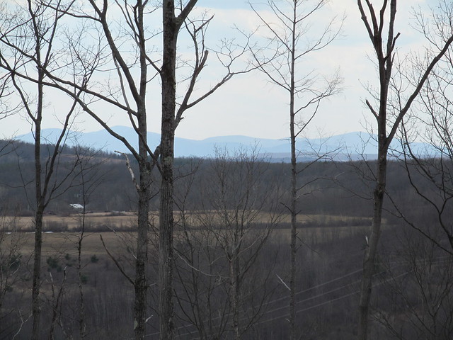
straying off the preserve to the best views I had all day. Just
southwest of the preserve, the whole area has been recently
clearcut and has a sweeping view, where the distant horizon shows
the Blackhead Range, Windham High Peak, and the ridge ascending to
Huntersfield Mountain.
When I arrived at the clearcut, I knew I'd gone astray, and made
my way up the ridge to the correct road - which was, of course,
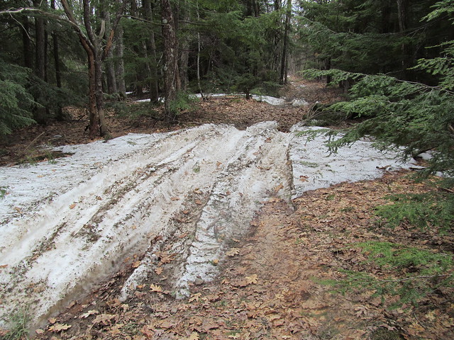
perfectly obvious, The road was still blocked in spots by drifts
of patchy wet snow, much churned by ATV's.
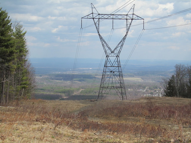
I soon reached the powerline cut that forms the preserve's
southernmost extreme, and it did indeed offer views, both east
toward the Hudson Valley and the Taconic Mountains beyond:
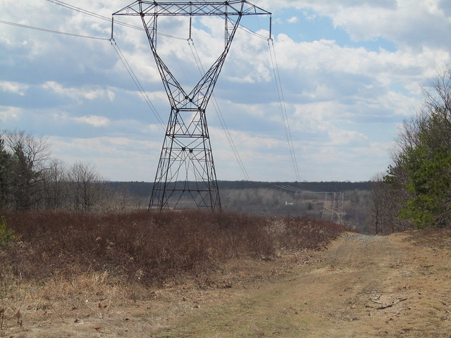
and west across a little valley to the next hill, with
the flanks of one of the Catskills (Bearpen Mountain?) just barely
visible through the trees at left.
I turned around and made my way back up the road into the
preserve. Where the snow had melted, I could see just how poor the
acidic soil up here is: only a few inches of erosion have exposed
the bedrock. The rock here is a limestone pavement, and the
Devonian stone to be found here is some of the most fossiliferous
on the planet. I noted the odd brachiopod and crinoid without even
stopping.
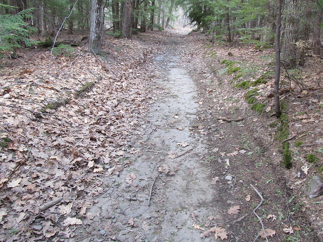
In the spots where the limestone dips or is beginning to form
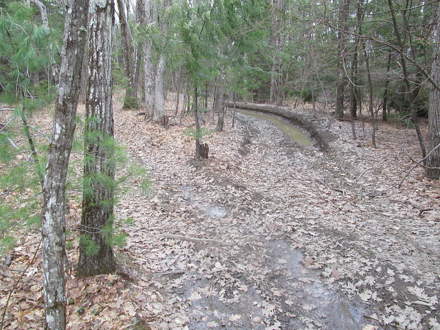
sinkholes, the water stands, and the ATV traffic has churned the
trail into a lake of mud.
I followed the white and red trails around to where a
strategically placed bench overlooks a fine view of Albany
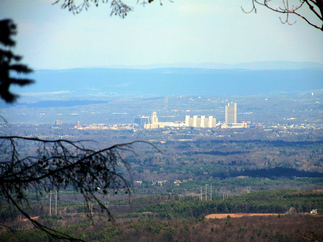
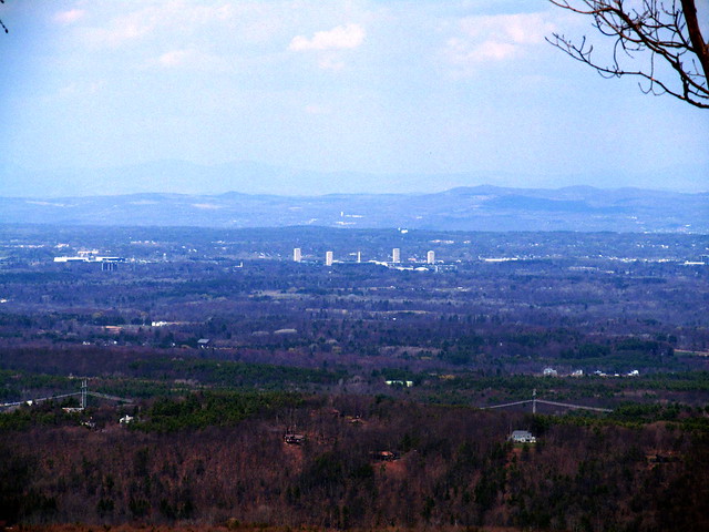
I then walked a series of loops to pick up the routing of the other trails. I noticed at the end of the green trail that the maintainers have placed flagging in the woods, apparently marking a route up the hill to the east. I followed their flagging for a hundred yards or so, but recalled my promise to Mary Ann that I wouldn't bushwhack solo. I turned around and hiked back to the car. A nice afternoon stroll.
2015-04-25 Huyck Preserve - Hiking the Huyck
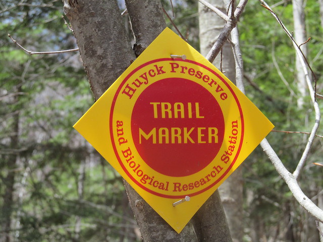
A week later, feeling more energetic, I went down to the
Huyck Preserve, a
considerably larger tract
surrounding the village of Rensselaerville. Very close to the
south entrance, the trail comes to a bridge,
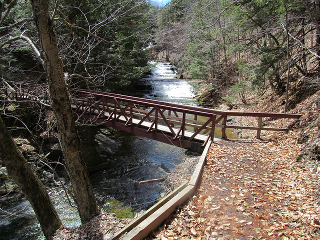
that offers a view of lovely Rensselaerville Falls.
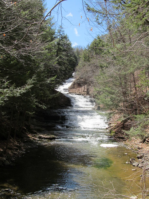
On the far bank stands a ruin of what I presume to have been a
mill, probably exploiting the falls for water power. I make a note
to explore that further another time, and continue with recording
my GPS tracks - I've some miles to make today if I'm to map the
whole preserve!
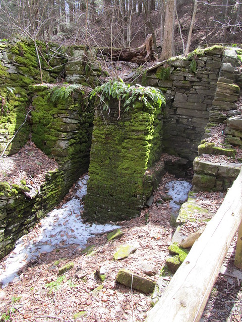

A side trail leaves the mill to the middle section of the falls.
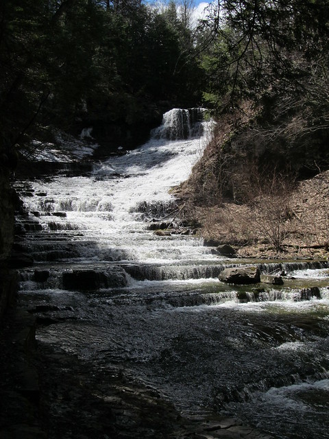
The trail has patches of ice. I'm careful about my
footing. Sliding into the gorge of the Tenmile Creek at the falls
would not be pleasant!
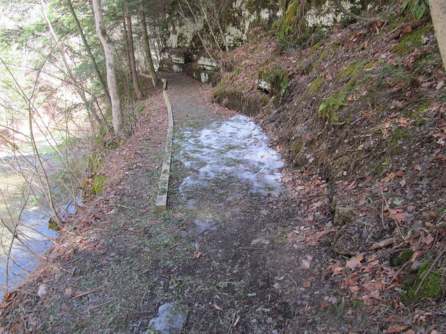
Backtracking to the ruin and heading up the hill puts me on the
Falls Trail, which climbs moderately but steadily through a fine
stand of hemlocks, most likely planted as a Great Depression
reforestation project after the local farms failed.
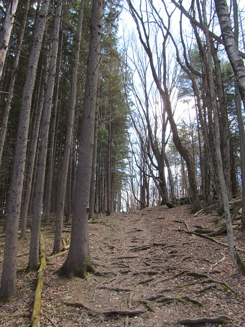
A handful of much older trees were probably beloved of the farmer.
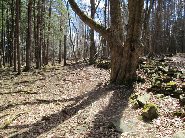
Once on top of the massif, the trail bends back to the river and
recrosses on a wooden bridge that looks downstream over the lip of
the falls.
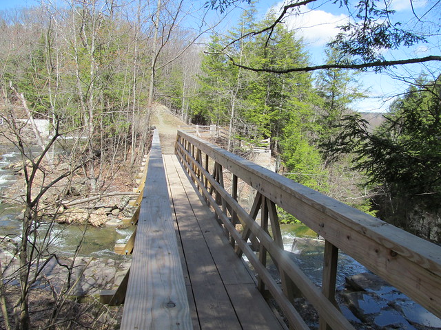
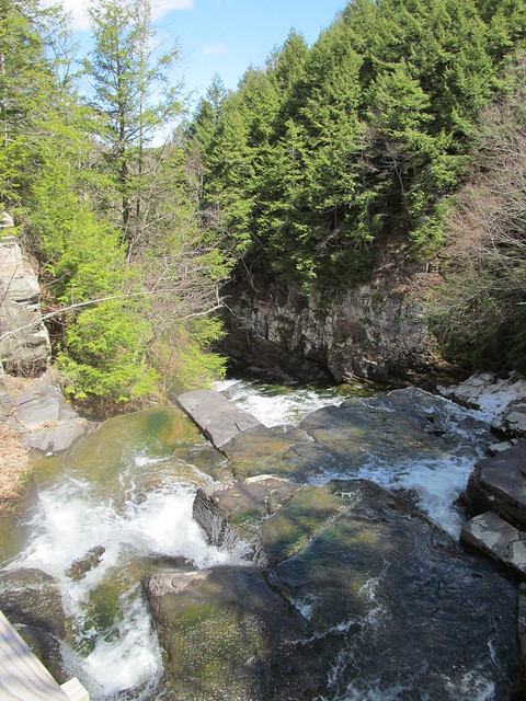
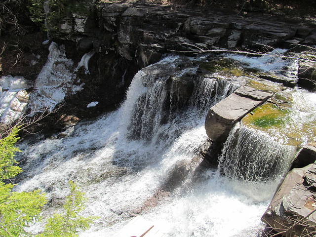
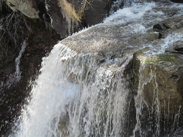
A stairway down from the far side goes to the edge of the falls at
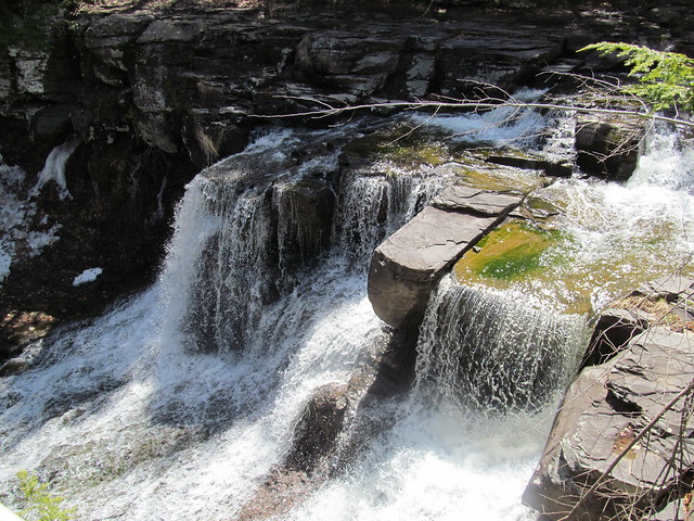
the top, another spectacular overlook. Beyond the falls, the "snow
cone" of frozen mist is still apparent, even in late April.
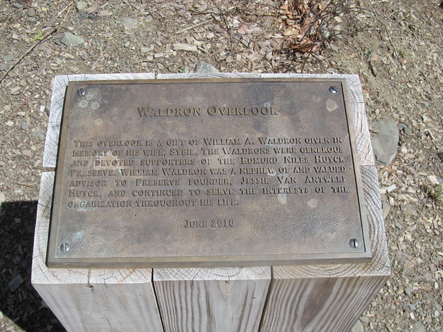
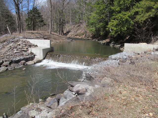
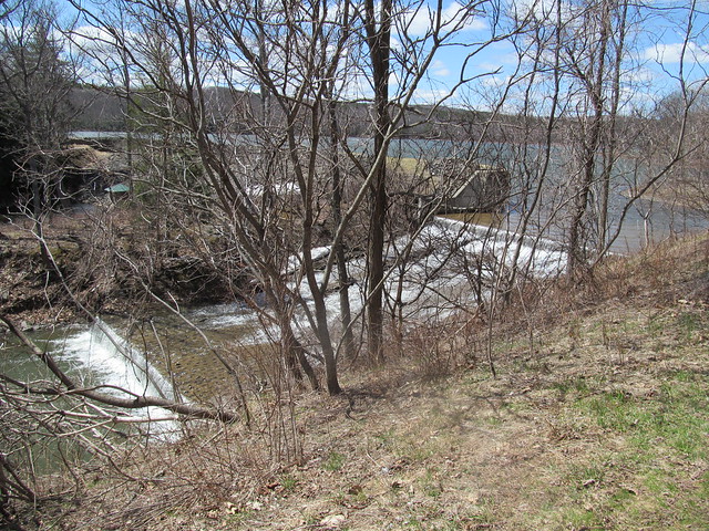
The trail then goes up the east bank of Tenmile Creek along the
spillways of Myosotis Dam, arriving at lovely Myosotis Lake.
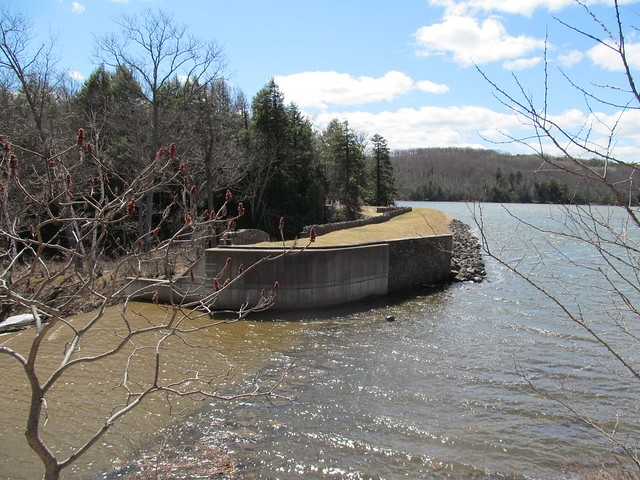
It passes the picnic area, swimming beach and boathouse, the Jessie
Huyck building, and the Ordway house (which now serves as part of
the preserve's conference facilities.
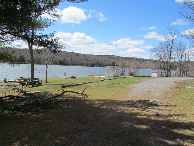
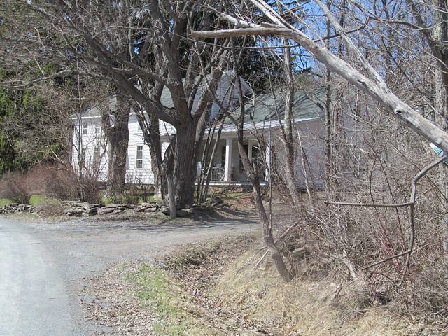
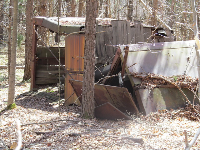
From here I proceeded up on the Ordway Trail, around the Race
Track, and onto the Partridge Path. From time to time, I passed
some ruins, including some wreckage whose purpose was
... uncertain. (It's too wide to be a trailer, but seems to have
been made of parts of several. I've no idea what it was for.)
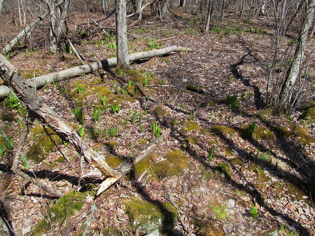
There are no wild flowers yet, but the corn lilies (
Clintonia borealis
) are starting to emerge.
Farther up, the first loop of the path brushes the edge of the
preserve. Someone has managed to cling to his farm, and there's a
hayfield right over the wall.
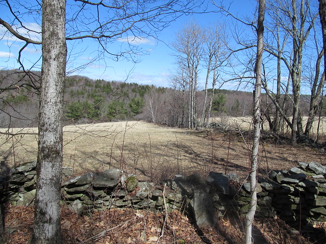
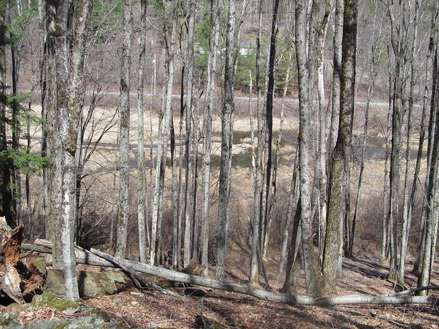
With the leaves off the trees, there's also a view down into the
marshes, with County Road 6 beyond. The water is high from
snowmelt.
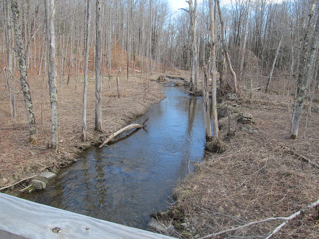
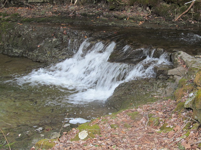
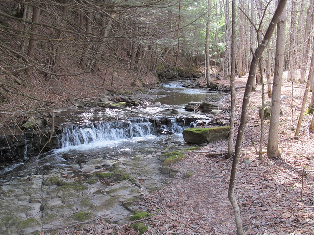
The trail recrosses the Tenmile Creek on a bridge, and follows an
unnamed tributary upstream toward Wolf Hill.
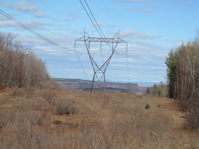
When it reaches the Schoharie power line, there's a view toward
the Taconics. Wolf Hill, which I explored the previous week, is
visible in the nearer distance.
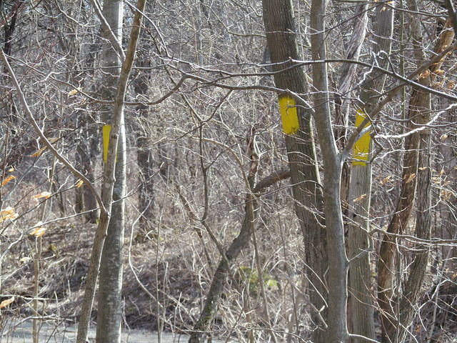
At the north end of the preserve, yellow survey blazes mark the
boundary of the Partridge Run state forest.
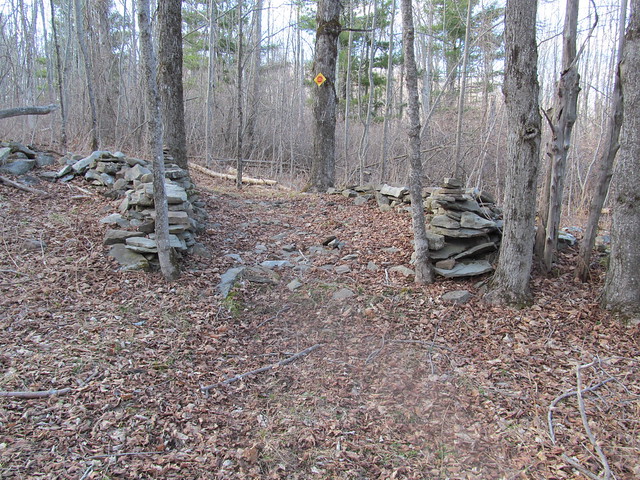
I signed the Wood Road register, and continued around to finish
the other side of the loops. On the way, I passed a gate in an
ancient stone wall. Some mason took pride in his trade. A wagon
would still have a smooth ride on the pavement today.
This early in the Spring, the less developed parts of the trail
were still sometimes running with water and full of blowdown. I
tossed aside what I could of the lighter brush. Some of the heavy
stuff will just have to await a chainsawyer.
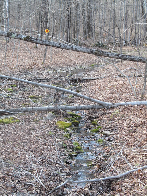
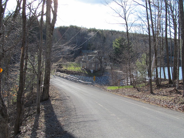
I followed the Wheeler-Watson trail out, which goes by the Lincoln
Pond dam and the adjoining cottage, another part of the preserve's
facilities, used to house visiting scientists. While there's a
trail around Lincoln Pond, and another connector across the north
end of the lake, I decided to bypass them. The day was starting to
get late, and I still had a few miles back to the car.
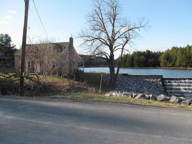
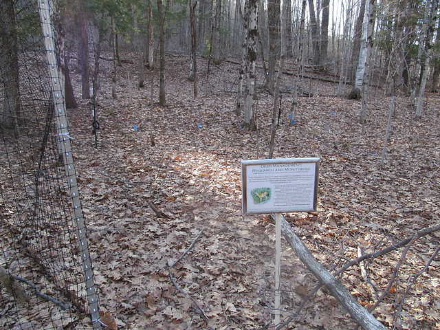
I signed the trailhead register across from the cottage
(I don't pass a register
without signing in!) and followed the trail on the west side of
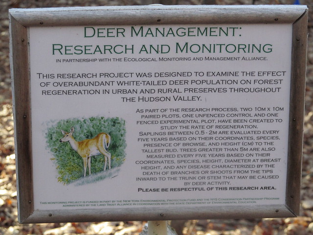
Lake Myosotis past someone's experiment. The preserve is an active
biological research station.
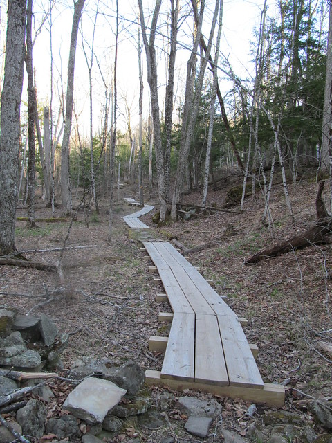
The wet spots are handled nicely by fine new bog bridging of
dimensioned lumber.
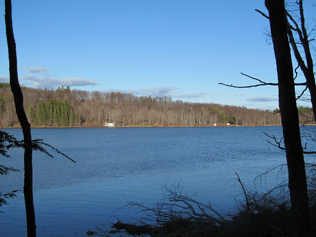
The Jessie Huyck center, the boathouse and the swimming beach
stretch out along the far shore.
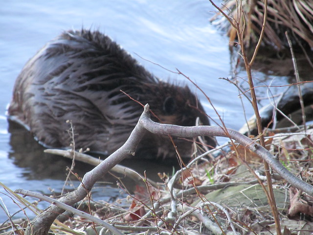
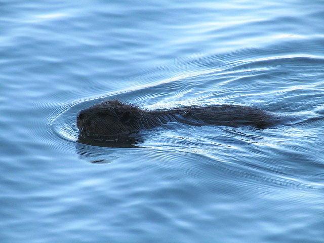
On the way, I was surprised to see a beaver working away. The
beaver was too busy to notice me, and let me photograph for a few
minutes, so I came away with a couple of, you should excuse the
expression, wet beaver shots.
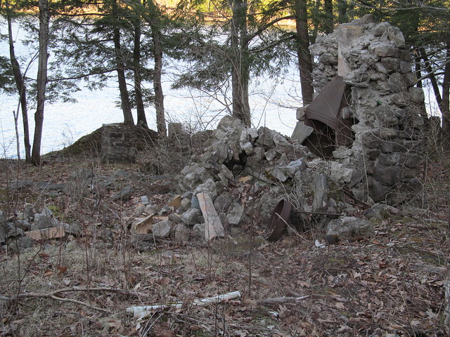
A little farther down the lake stands the ruin of another
farmstead.
I rapidly made my way back to the car, and arrived with a good half-hour of daylight, having put in roughly a 12-mile day on easy trails.
2015-05-16 Bennett Hill, and return to the Huyck
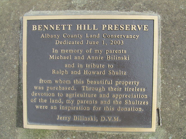
I felt as if I had to get out again today, even though the weather looked dodgy, so mapping another one of the little preserves seemed a good idea. I could always cut things short, or if the weather held, go back and do the unfinished trails at the Huyck or start mapping another one. I chose Bennett Hill, another one of the newer (1998) preserves in the Helderbergs. Like all the Helderberg hills, this one has a lot of interesting geology. Those who are interested in the complexities can find a lengthy discussion elsewhere. Suffice it to say that springs, sinkholes, and fossils are among the karst features in abundance. In fact, the entrance to the preserve is right near a cluster of four sinkholes, only one of which appears to be active (with a stream running into it that originates at a spring farther up).
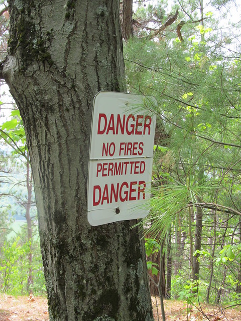
On the way in, I got a reminder that the last few weeks have been
bone dry, even though we started with a good snowpack. This has
been a bad fire year.
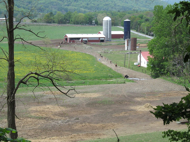
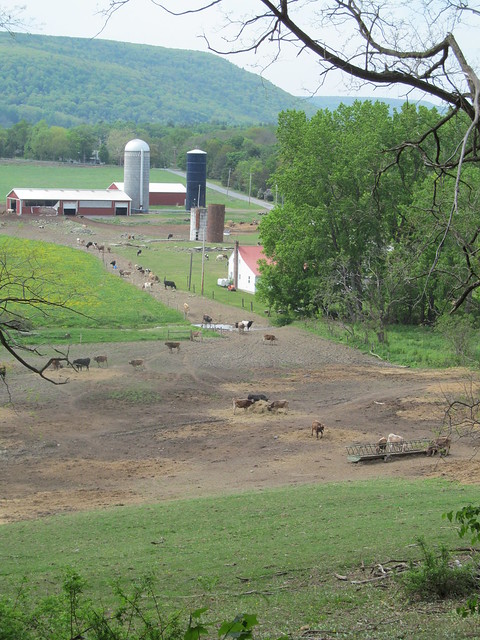
The entrance trail overlooks a dairy, with fairly good views
beyond when the trees are not fully leafed out. Its nicely benched
into the side of a hill, and follows a contour line for about a
quarter mile before it ascends steeply about 200 feet up a couple
of switchbacks.
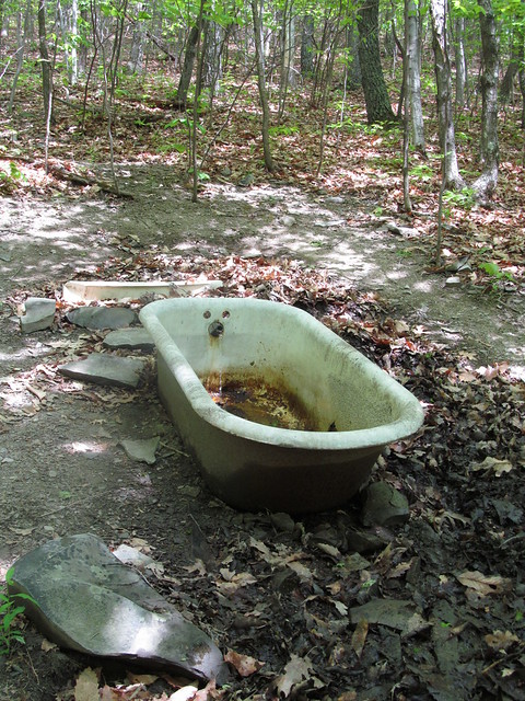
Near the top of the climb, I caught sight of a strange object in
the woods. "What's that bathtub doing there?" I said to myself. It
turns out that the preserve builders, or perhaps the former
landowners, thought it would be amusing to have a piped spring
feed a bathtub faucet, so they set one up that way. I didn't
sample the water, knowing that it will most likely taste as if it
will rust your teeth!
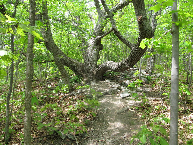
Right at the top of the last switchback, a hiker can rest for a
moment. There's a tree with bent branches that's perfect for
sitting on.
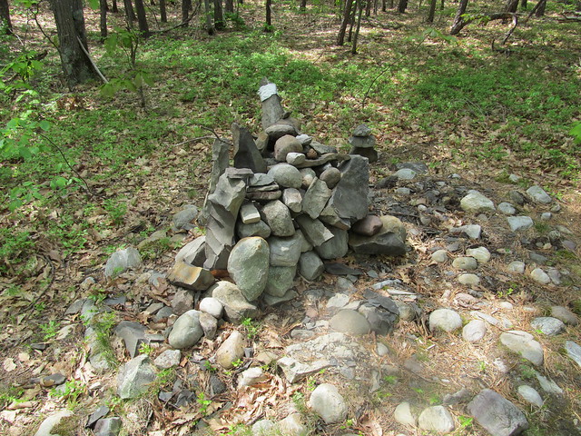
I made a complete loop of the hilltop on the yellow trail. Over on
the east side of it, there's a cairn just built on a straight and
level bit of trail, with no turnoffs, good blazes, and good
visibility. I have absolutely no clue why anyone would have gone
to the trouble of building one right there.
On the north side, there's a nice overlook with a view toward
Albany and the Green Mountains. The view left a little to be
desired on such a hazy day.
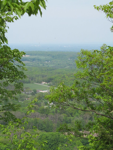
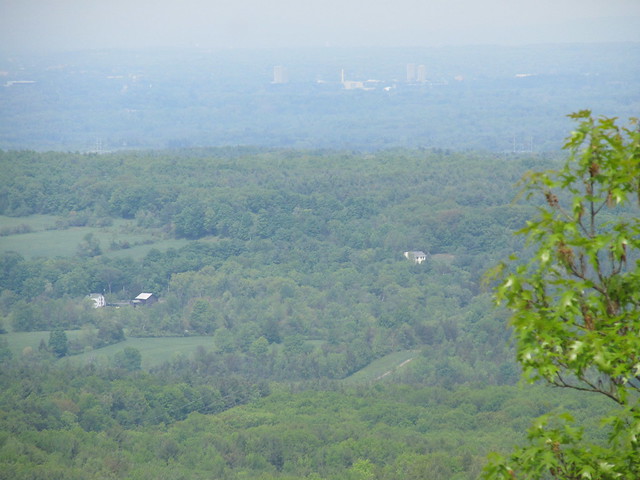
I finished the loop one-and-a-half times around the yellow trail, and descended the hill on the steeper and less well-maintained red trail. There's a lot of loose soil on steep slopes on the red trail; I suspect it may be headed for an erosion problem if the maintainers aren't careful. On the way out, I heard a strange sound. "What is that?" I said to myself. "It's not a motorcycle revving..."
The farmer had let the cows into the nearby field. I was hearing
them arguing over the haystack. "MOO!". My, the sound carried.
This bit of mapping had taken me only a couple of hours, and the
weather still looked as if it would hold off for a bit, so I
headed back to the Huyck Preserve to map the bits I'd missed.
I parked up by the Lincoln Pond dam this time, and started hiking
around the pond (after some delays, such as replacing the lens
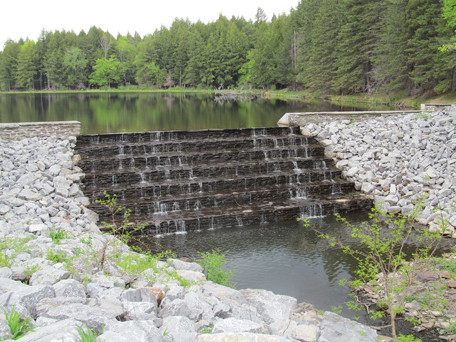
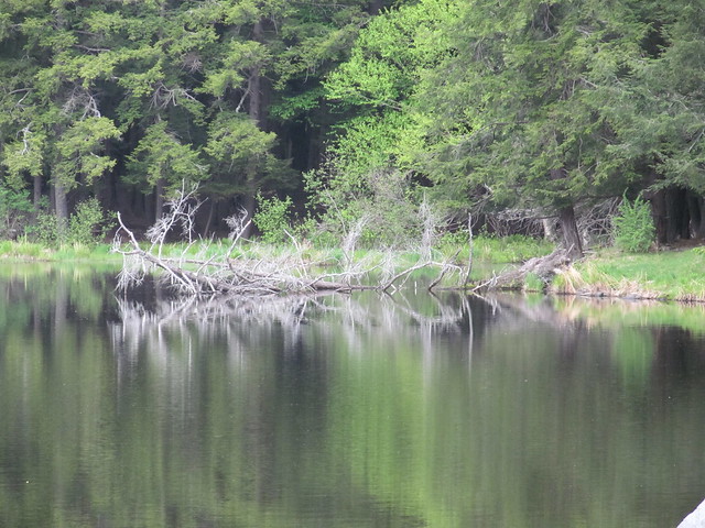
that fell out of my spectacles). The pond with its dam is a pretty
sight, and vegetation and driftwood made interesting reflections
in the water.
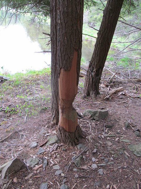
My beaver friend from a few weeks ago wasn't working while I was
there, but I saw that he or one of his colleagues had been
about.
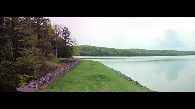
After going around the smaller pond, I walked around Myosotis Lake
to map the connecting trails that I also had missed on the last
visit. I found I didn't have to turn back at the dead end at the
dam spillway, because the spillway was completely dry. I jumped
down into the concrete gully, walked across and scrambled the
other side. I grabbed a panorama of the lake from the center of
the dam. Click the image for video.
 I went back to my car up the east shore, getting the crossover to
the north of the lake, and got back just as it was starting to rain.
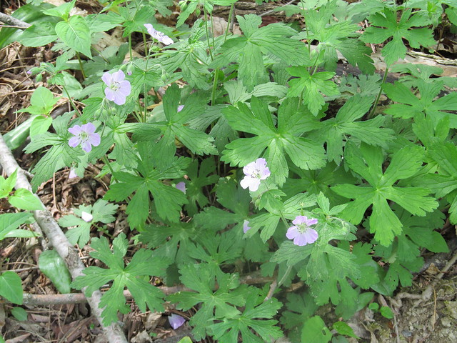
The day had wildflowers in abundance, while just two weeks earlier
there had been none at all. Among the ones I spotted
were Geranium maculatum, which gardeners call a 'false
geranium.' The 'true geranium' to a gardener, to a botanist isn't
a geranium at all, but in genus Pelargonium. Go figure.
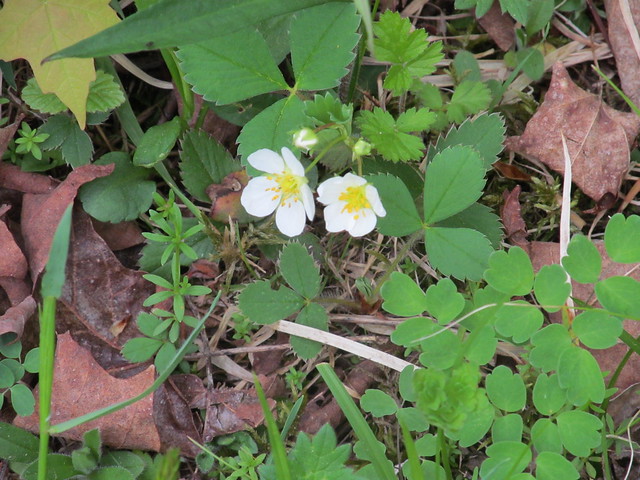
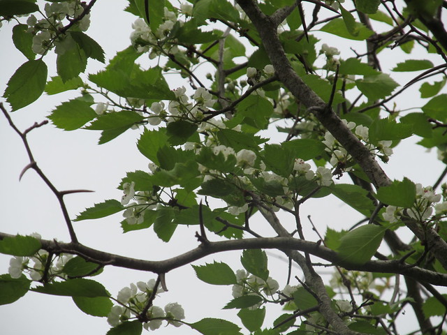
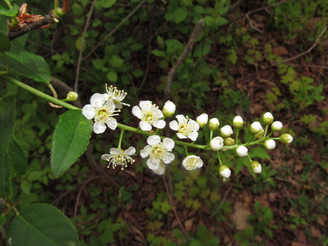
I also saw wild strawberry, violets, and apple and black cherry in
bloom. It was a pretty day.
No comments:
Post a Comment