Hi, it's me again, back from a long absence. It was just too much trouble to blog anything when my body was not up to much hiking. On Saturday, 3 September, though, I finally managed to get out for a decently challenging day trip, with few complaints from any of my aging parts.
I went to The Cliff, an unimaginatively named rock formation above the village of Middleburgh, New York that is traversed by the New York Long Path. (The route description is in the online guide book from the New York/New Jersey Trail Conference.)
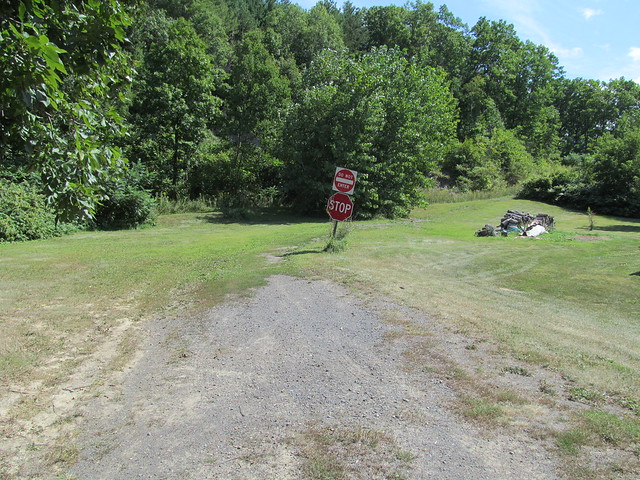
The trailhead is unprepossessing. It's a driveway going between two vacant lots in a newly-built (and still unfinished) residential neighbourhood.
Almost immediately, the trail veers left up a very steep slope of loose shale. I missed the turn the first time, and didn't actually see this slope until the return trip. I climbed to the top of the cliff the long and easy way around on an ATV trail. The shale is very loose and slippery, and I was quite frightened on the return trip that it would all slide out from under me.
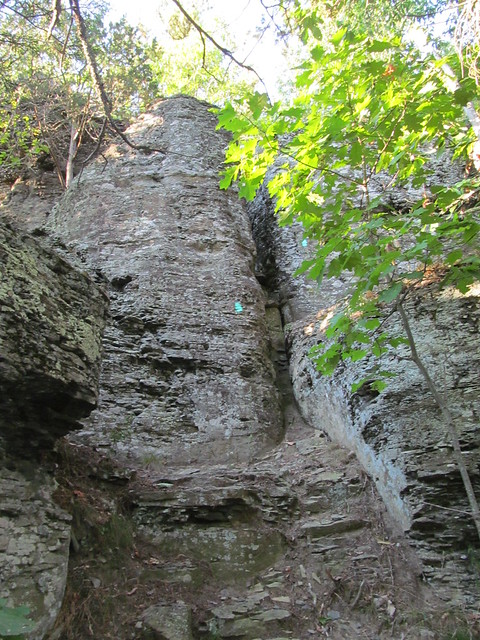
At the top of this slope stand two things of significance. The first is an enormous cedar tree. Dated at over five hundred years old, it is thought to be the oldest in the Northeast. The second is a vertical rock scramble and "lemon squeeze" that rivals anything that the Catskills have to offer. It's the Long Path's last thumbing of the nose: "so you thought you were done with scrambling? Have this!"
A YouTube video from “Scree Hiker” gives a feel for how strenuous it is, and how tight it is in the crack. A big guy like me makes it through only with sound effects: scraping gear and muttered profanity.
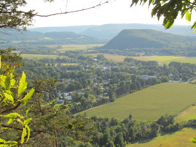
One on the top of the cliff, the hiker is rewarded immediately with a view of Middleburgh village, with Vrooman's Nose behind it. (It's also spelt, 'Vroman', and pronounced as if it didn't have the double O.)

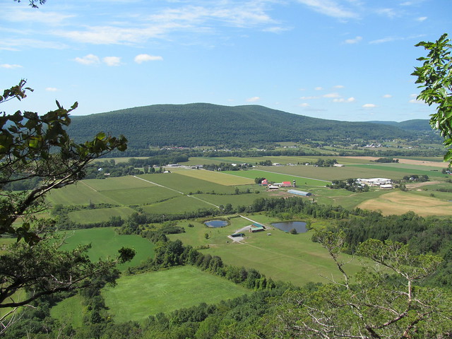
The trail then follows the edge of the cliff, sometimes alarmingly closely, for about a mile. All along this section are spectacular views across the rich farmland of the Schoharie Valley.

I then followed the Long Path through to Durfee Road in Cole Hill State Forest. Most of it is fairly level, but there's a steep plunge into and climb out of the head of The Gorge, another feature that the good people of Middleburgh have blessed with a singularly unimaginative name. At Durfee Road, about 4.5 miles in, I turned back the way that I had come. On the way out, I varied the route a tiny bit by exploring up and down a couple of the snowmobile trails, allowing me to close some more gaps in OpenStreetMap.
While coming back along the cliffs, I was surprised by a sudden "whoosh" going past my ear. It was a red-tailed hawk, soaring along the clifftop, passing with his wingtip just inches from my head! He appeared to be as surprised as I was, and gave me a scream before heading back into the rising air. It isn't often that you see one that close. (Alas, I missed getting a close view of the peregrine falcons that are also sometimes found in the area.)
On the whole, about 10 miles, with some elevation gain (at least 1500 feet, I reckon) and one challenging rock scramble, without a peep from my foot. I think I may just be up to some hiking again. It's surely about time!
No comments:
Post a Comment