The road to the trailhead is fairly remote, winding up a narrow valley in the middle of the Catskills. A somewhat surprising sight on the road is a garage and prefab building with a sign out front reading, "Hardenbergh Town Hall."
Hardenbergh (population 215 at the last census) is a very odd township right in the middle of the hills. While it is in Ulster County, it is completely cut off from the rest of the county by a line of mountains that includes several of the Catskill 3500 peaks, and hiking trails provide the only routes that connect it. It's also cut off from itself: the northern part of the town is accessible by highway only from Delaware County, while the southern part is accessible only from Sullivan County. The Dry Brook Ridge separates the two. (Incidentally, the Dry Brook is anything but dry: apparently the name is a corruption of a Dutch phrase meaning "third brook" (off the East Branch of the Delaware). The first two are the Beaver Kill and Mill Brook. Of course, there are many smaller streams feeding the East Branch among these three large ones.
Hardenbergh is the last vestige of a mighty kingdom that belonged to one Johannes Hardenbergh (1670-1745) and seven of his cronies. Hardenbergh claimed title to some two million acres (3100 square miles, 8100 square kilometres) - a parcel spanning the area from Stamford, Great Gorge and Palenville in the north to Wurtsboro and Narrowsburg in the south. This enclosed the whole of the modern Catskill Park (indeed, was over six times its area), and spanned the whole of the Catskills from the West Branch of the Delaware to the Great Wall of Manitou. The metes and bounds of the land deeds in that part of the world to this day often bear reference to one or another of the 'Great Lots' into which the Hardenbergh patent was subdivided.
Suffice it to say that old Hardenbergh was something of a swindler. He was allegedly a major in the British army, having enlisted in the Ulster County Regiment in 1690, and knighted by Queen Anne for valiant service under the Duke of Marlborough in the Battle of Blenheim. (Blenheim, New York, near the northernmost extent of his great land patent, is another vestige of his memory.) All this was a great lie: contemporary records from both Ulster County and the Dutch Reformed church in Kingston (New York, not Jamaica!) show him to have been a prosperous businessman, who was in Ulster County - and nowhere near Blenheim - in 1704. None of this kept him from adopting the title, 'Sir,' and thereafter signing papers with only his surname: "HARDENBERGH."
His land grab seems to have been another swindle of the same nature. He negotiated title to the entire tract for £60 in 1707 from "Nanisinos, a sachem of the Esopus Indians." Not only was the legality of the deed questionable, so also were the metes and bounds. In particular, the land between the two branches of the Delaware was part of the Oneida Nation, and no Esopus would have the right to sell it. Nevertheless, the grant was confirmed by the governor, and survived a courtroom challenge in 1769 (in which another former British officer, John Bradstreet, claimed title to 50,000 acres or so of it).
The patent was divided and subdivided, and title to parcels of it passed among heirs of the original patentees and others so many times, with terms of sale that were complex even by the Byzantine standards of 18th-century British land title, that the ownership of the land remained clouded for generations. At times, the courtroom battles even spilled over into actual bloodshed. Even as recently as 1845, a tenant's association entered into a gun battle with a 167-man sheriff's posse over non-payment of rent, ending with one deputy lying dead and 90 men indicted for his murder. Somehow, in the present day, these battles are but a dim memory. The parcels have been divided and subdivided again, the great landlords (who never gained much profit from their lands) have sold their holdings, and the land wars are a dim memory, left engraved in the names on the land.
There's much more in a 1910 issue of Olde Ulster that's available on the Internet Archive, and at the Web site of the Hardenbergh family.
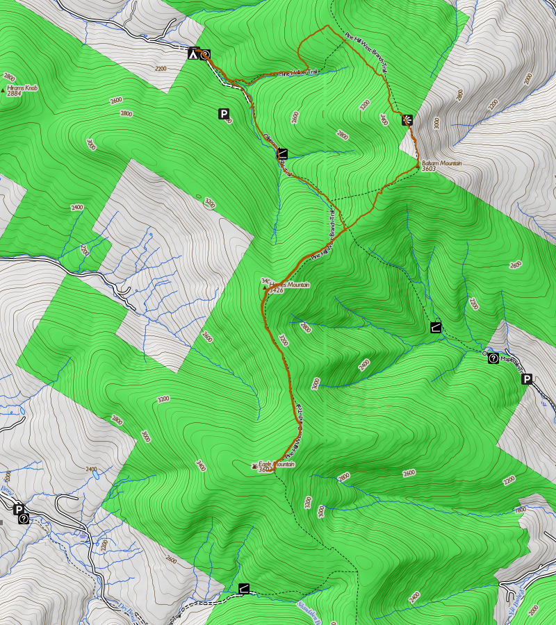
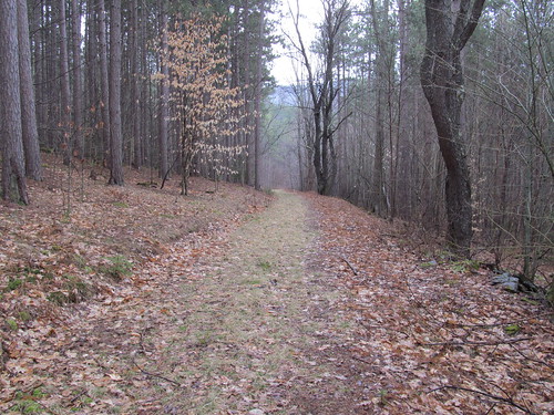
OK, enough with the digression on how the nearly-depopulated Town of Hardenbergh came to be, and onto the hike itself. The trailhead is at the end of the maintained section of Rider Hollow Road, which is an old turnpike that served tanners and quarrymen back to the 18th Century and the days of Hardenbergh. The modern road ends abruptly at the boundary of State land (the Big Indian Wilderness; the story of Winnisook, the Big Indian, will wait for another hike).
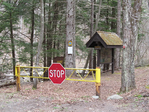
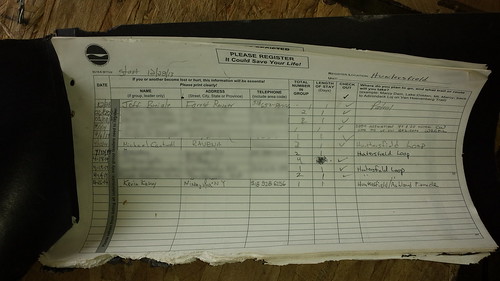
I signed in there and started in on the old road, now part of the Oliverea-Mapledale trail. Near the trailhead, the trail maintainers have replaced a bridge that washed out in Hurricane Irene with a handsome and sturdy new one, wide enough for two hikers easily to pass abreast.
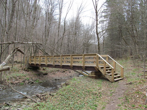
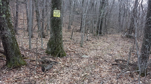
Not far from this bridge, there is a trail relocation that hikers should be aware of. Right near where the Rider Hollow and Mine Hollow brooks converge, between the trailhead and the shelter, the hurricanes damaged a section of the road beyond repair. The trail has been relocated up the hill on the north side of the brooks. Coming in from the road, the Oliverea-Mapledale trail leaves the road (which has been blocked by a pile of brush, but this early in the spring it's hard to tell a brushpile from blowdown) and proceeds up the hill to the left. Be alert for the red double blaze marking the turnoff.
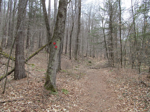
The junction between the Oliverea-Mapledale and Mine Hollow trails is up on this relocated section. The old signpost has been moved up there, and is quite prominent. (I have no picture, because, like a fool, I had left my smartphone in my truck. I reached into my pocket at this point to pull it out and mark a GPS waypoint for the trail junction and realized I'd left it behind. By the time I'd hiked the 0.3 miles back, retrieved the phone, and hiked back in again, I was too flustered to remember to take a picture of the junction. Sorry.)
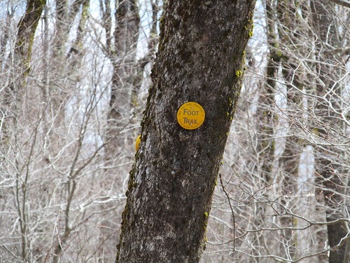
Coming back down from the Mine Hollow trail, again, there's a brushpile on the old road. There's no double blaze, but the yellow-blazed trail fairly clearly departs up and to the right. The next blaze is visible in the picture. Stay alert here!
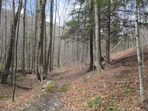
Finally, coming out from the lean-to, just after the steel bridge, there's a wooden billet with a blaze warning of a right turn.
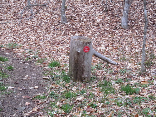
The trail goes straight up the hill as the road bends left (with another small brushpile on it). This is probably the easiest place to go astray in the relocation.
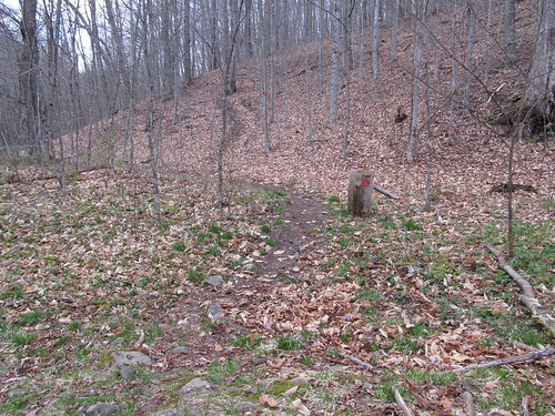
Of course, I came upon these at different times during the day, but I thought I'd get that whole business out of the way and get on with the meandering story of the trip.
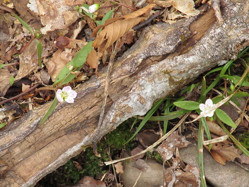
Perhaps the thing I noticed most, as I was panting up the climb of the Mine Hollow and Pine Hill-West Branch trails toward the summit of Balsam Mountain, was that the forest floor was a riot of colour. Just as the desert blooms briefly after the rains, so the forest floor blooms after the snowmelt - and for much the same reason. The wildflowers have at most a few weeks to gather the Sun's rays and try to reproduce before they will be in deep shade under the forest canopy. They all bloom during this brief period. All are hardy perennials - the winters here are intense, and this brief growing season is far too short to support annuals. By Memorial Day, they'll already have gone to seed. But for this brief period, they work magic. In addition to the Viola lanceolata that I saw last week, I notice Spring Beauties (Claytonia virginica),
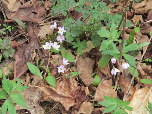
yellow violets (What a contradiction the vulgar name appears to be! Viola pubescens is considerably more pedestrian.):

Trillium erectum:
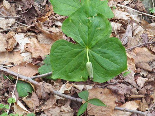
and trout-lilies (Erythronium americanum):
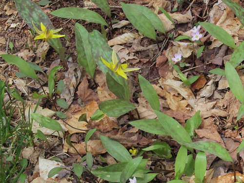
None of the trilliums is yet in bloom. It's a pity; I haven't seen them in years, because I always seem to miss their short season. (This year may prove no exception: I'm busy for the next few weekends.) In this part of the world, some of the old folk still call this flower Wake Robin when it appears in its red color morph. (It has several, ranging from deep purple to clear white.) Apparently, the red blossoms reminded the locals of Robin Red-breast, who is arriving from his southern range just as they are in bloom. John Burroughs was so enamoured of this flower that he chose the title, "Wake Robin" for one of his collections of nature essays.
The trail also makes its way through a few stands of ancient hemlocks, which have somehow come to what must be an age of 300-400 years while escaping the attention of the tanners. This felicitous situation has likely come about simply because the slope is so steep and the valley so remote that it wasn't profitable to fell them and haul out the bark. Nevertheless, I'm pleased that they are left for 21st-century humans to enjoy, and even more pleased that I could spot no sign of the Wooly Adelgid (Adelges tsugae) anywhere in these groves.
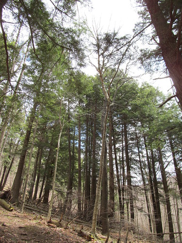
It seems ironic that this majestic tree, by far the largest of the Eastern woodlands, has the smallest cone of all. It's often little bigger than a dime. A great many of them crunched underfoot as I moved up the trail.
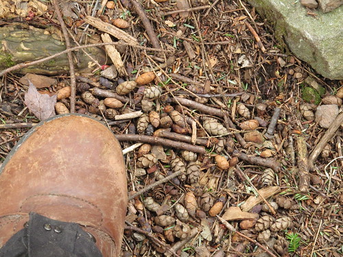
With all this beauty to inspire me, I made quick time up the north side of Balsam Mountain. Well, quick time for me, anyway: I'm not the fastest of hikers. Ordinarily, I'd budget two and a half hours for the 2.8-mile, 1600-foot ascent, but today I made it in under two. I knew I was in the home stretch when my nose caught a trace of the sweet perfume of balsam. Sure enough, in a moment or two, I sighted my first fir tree of the journey. A few steps further on, the 3500-foot marker greeted me:
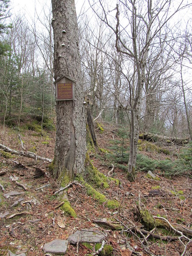
Just beyond, there's a short rock scramble. There's always one just around the marker. (There are actually geological reasons for this, but I'll save that for another post.)
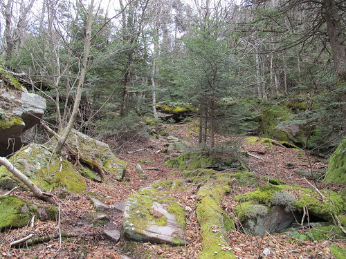
And the scramble is the gateway to another world. In just that short space, the Eastern mixed woodland comes to an end and the mysterious glades of the boreal forest beckon.
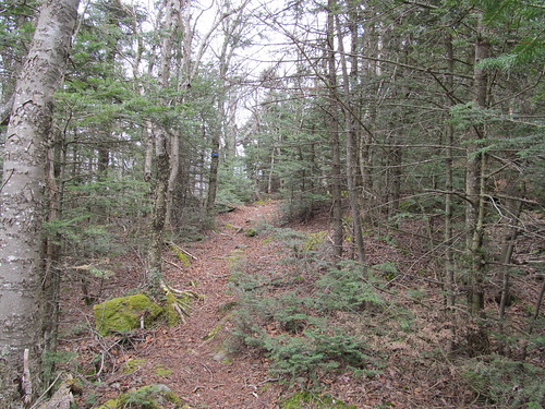
The duff and flowers carpeting the forest floor are gone, replaced with mossy rock (which later in the season will have a morass of pricker bushes and nettles; early Spring is a good time to travel these mountains!). The balsam fragrance is heady. A gradual incline leads to the mountain's northern (false) summit, only a few feet lower than the true one.
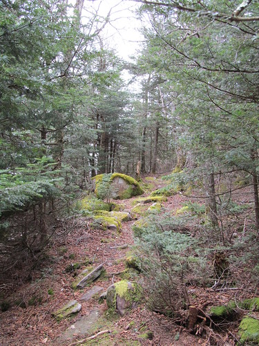
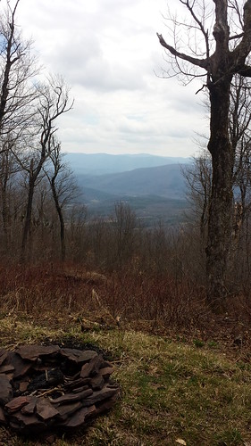
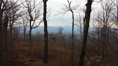
The walk between the two summits is a pleasant easy ridge walk, at the midpoint of which the trees open out into a breathtaking view:
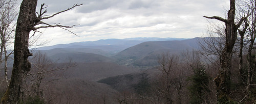
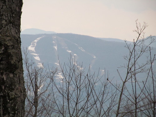
I'm able to identify no fewer than nineteen of the Catskill high peaks: Slide (I have to lean out a bit to spot it to the right), Panther, Kaaterskill High Peak, Indian Head, Twin, Sugarloaf, Plateau, Hunter, Leavitt, West Kill, North Dome, Sherrill, Halcott, Bearpen, Vly, Blackhead, Black Dome, Thomas Cole and Windham High Peak are all visible. (It's easier to identify them now that my boots have trodden over half the ones I can see!) Even far-off Mount
The camera obstinately refused to see well enough through the rain, but with my eyes I could spot the network of old logging roads on one of the nearer ridges: branching roads following contour lines, all joining with a central incline that probably had a cableway when the logging companies were operating. I'd never seen such a pattern that clearly before. It's most likely visible only in the brief period when the snow is off the ground but the leaves are not yet on the trees.
At the overlook, I was overtaken by a group of five hikers, one of whom was making the final ascent for his Catskill 3500 Club membership. I congratulated him, and we all sat down to lunch - not by any agreement, it's simply a lovely lunch spot and I was getting ready to eat just as they arrived. Similarly, we all packed up again and left at the same time and headed south together - not hiking together, just moving in the same direction at about the same speed. This togetherness meant that I was able to ask to have my picture taken at the cairn near the true summit, and of course return the favor for the others. Here, the photographer was standing on the summit rock looking a couple of feet down at me.
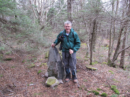
We made our way down to the col - with the other group moving faster. (Of course: everyone's faster than me!) I overtook them, and met another solo hiker who was just returning from Eagle, my next destination, at the trail junction in the col. We took our leave, with a final round of congratulations for the new 35er and encouragement for me and the other soloist (who was completing what for him were ascents 32 and 33), and I headed on south up the ridge to Mount Haynes. I climbed to this 3425-foot summit twice this day, for no better reason than that it was in the way. But once I'd done the work of getting up on the ridge, I wanted to bag Eagle - even with Haynes in the way, two-thirds of the work is already done. Of course, a few rock scrambles remain, but nothing too difficult nor too exposed.
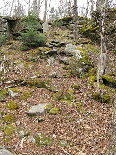
At one of them, I clearly saw blazes leading right up the the face of the rock, but no path left or right, and no blaze visible above. I paused a moment in confusion, but then noticed, right in front of my nose:
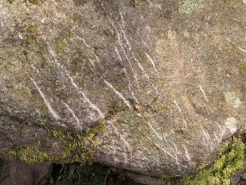
Who needs trail markers when you have crampon scratches pointing the way?
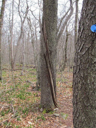
The trail has taken a bit of a beating in the winter. Most of the blowdown has already been brushed out: quite promptly, since the ice has only been gone up here for a week or so. A couple of big things are awaiting a trail crew with axes and saws. In once spot, the crown of a dead tree has broken off about 30 feet above the ground, and fortunately fallen away from the trail. I saw immediately what killed the tree. The spiral lightning scar makes an interesting sculpture.
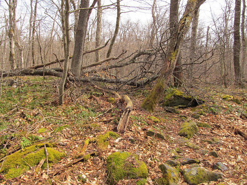
In another spot, the wind has uprooted a big beech tree and laid its crown directly in the middle of the trail. While it appears that some other hikers had pushed through it, I took the lazy man's approach and whacked over to the left far enough that I could step over the trunk.
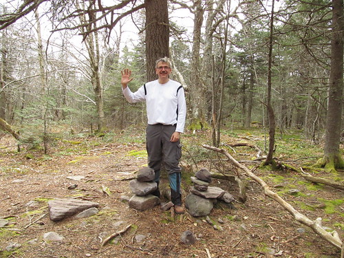
The trail drops down off Mount Haynes, and then makes its ascent onto Eagle Mountain. Once again, I'm enjoying the balsam forest, although Eagle's mostly seems composed of very straggly grey birch, which, alone among the deciduous trees, sometimes survives the harsh conditions in the boreal zone. When the trail stops ascending, a well-beaten herd path (marked with a bit of flagging tape when I was up there) heads off to the west about 75 yards to a pair of cairns marking the true summit. It's viewless, and apart from checking a box on my tally sheet is nothing to write home about. Nevertheless, I set up the tripod for a selfie ("Hello, world!\n")
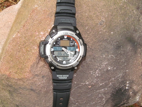
and laid my watch atop one of the cairns so that the altimeter was visible:
After that, there was no reason to stick around, so I turned back the way I came, climb Haynes (I've now been up there four times, and its viewless summit has very little to recommend it; it's a nice enough walk in the woods, but hardly worth the work of climbing up there!), and got back to the col between Haynes and Balsam. There I turned west and started the remaining descent (it was still 1.8 miles, with 1200 feet elevation loss) back to my car.
Just off the col, there's a rock face with a substantial seep leading to a bog full of skanky water. I don't recommend that as a water source even treated, because not too much farther down the trail, there's a spring right on the trail. Water is bubbling out of cracks in a largish area of rock at quite a brisk pace. I understand that it generally has some flow even in high summer. It's the headwaters for the brook in Rider Hollow, and it continues to pour noisily down beside the trail for the rest of the hike.
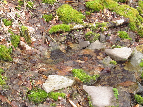
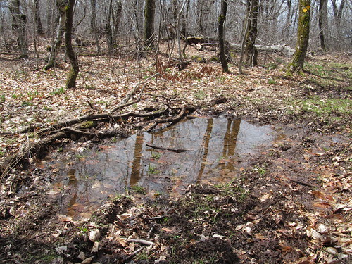
It would be more accurate in spots to say that the stream pours noisily in the trail. As I've observed many times, the difference between a trail and a stream is that the trail ordinarily has more bootprints and the stream generally has more trout, but this is far from guaranteed.
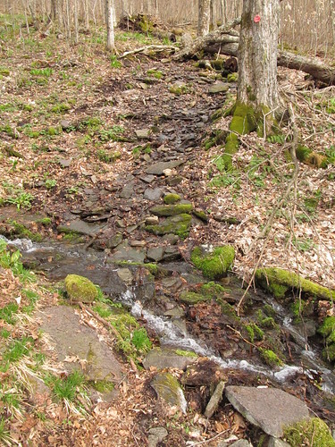
And I don't necessarily just mean a muddy spot, or a trickle of water.
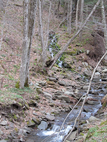
This early in the spring, water was high everywhere. Even apart from the occasional cascade in the trail, there are four substantial stream crossings, all of which had their stepping stones completely awash. For the first three, I was able with little trouble to find alternative rock hops, even with my poor balance.
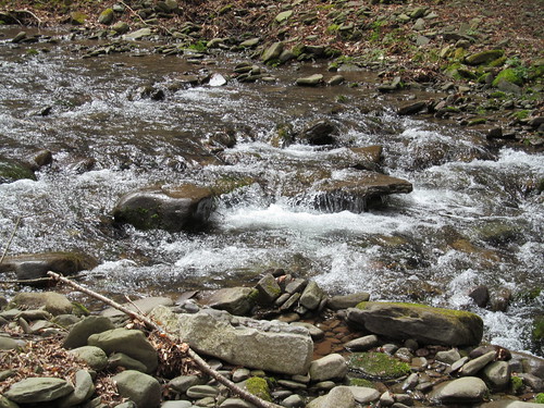
After that, the trail picked up the old turnpike and mellowed out for a while. It went by another few old-growth hemlocks:
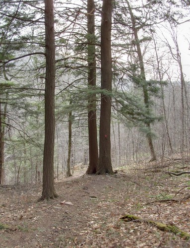
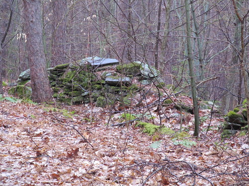
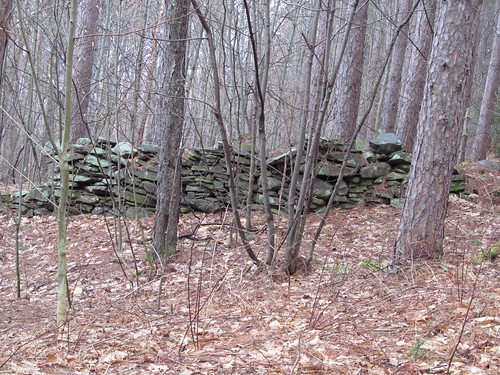
These may have been saved because they were in someone's front yard. I noticed old stone walls and foundations quite nearby.
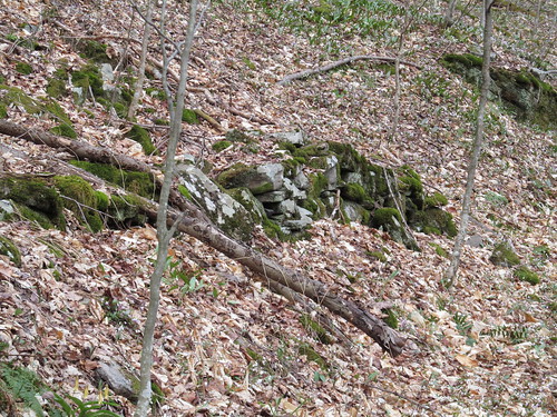
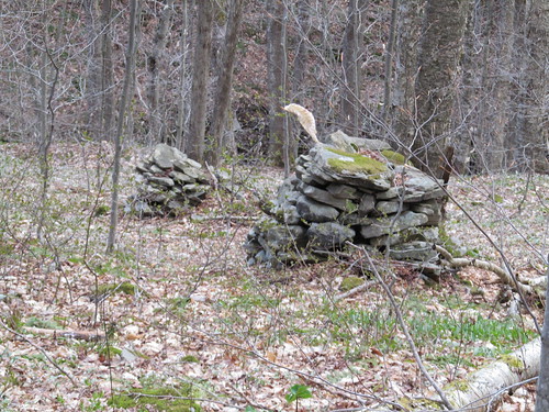
Down near the Rider Hollow shelter, there's a final stream crossing, and that one offered no obvious rock hop. There was nothing for it but to wade across. Given that it was just half a mile of fairly level trail to my car, I decided not to trouble changing into water shoes, and just plooshed through. Even clunky leather boots with a Gore-Tex membrane and high gaiters do nothing to keep your socks dry when the water is over your boot tops.
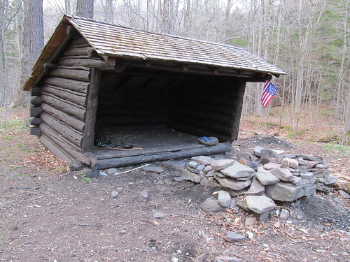
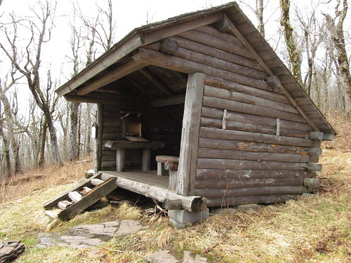
Then the Rider Hollow shelter was in sight, I checked it out. It's a trail shelter. I'd much rather tent. I inspected the privy (I rather felt the need to conduct an inspection tour). I checked out what I thought was a log book. It wasn't. It was a catalog from an axe manufacturer, with several pages torn out. I think it was in the shelter as fire starter. I tucked it back farther under the overhang in hopes of keeping it dry for the next hiker, sanitized my hands again, had a quick snack, and continued on out.
Just past the shelter, the trail recrosses the stream on a steel kingpost bridge. The bridge looks impressive from far off.
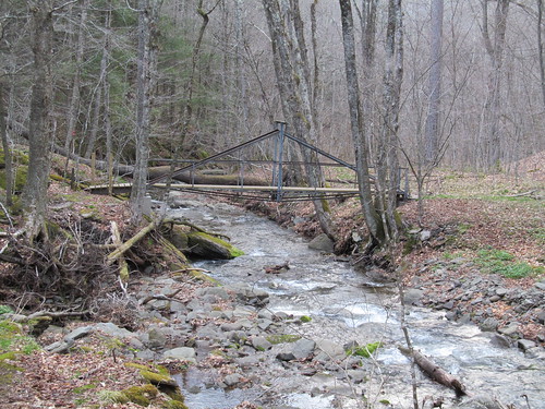
But once you're on it, you realize that it's a bridge in miniature. The decking is just three 2×6's, and I had to duck my head under the top tie while my shoulders brushed against the king posts on either side. Still, it was nice not to have to deal with the water underneath, since here the channel between the banks is narrow and it was running at least knee deep.
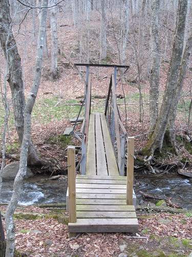
From there, it was up and around the trail relocation and a quick level walk back to the car.
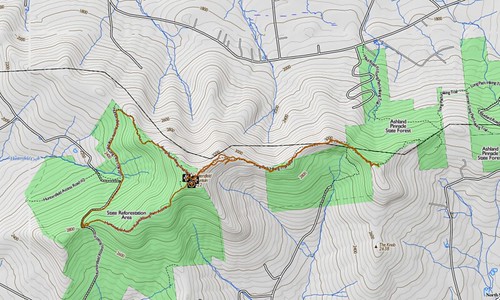
All in all, a fun hike. 10 miles (counting the little jaunt to retrieve the smartphone) and 5200 feet of elevation change in about 7.5 hours. I'm slow, but that's still about guidebook time. Most guidebook authors go by "30 minutes per mile or 1000 feet of elevation change." Normally, at my pace, I'd have budgeted at least an hour longer, and that's without counting all the time I spent on compulsive photography.
Read more...