After Niskayuna dodged a bullet with the Nemo snowstorm (we got maybe 6-8 inches of snow), I cleared the driveway and had time at least to spend a couple of hours out playing. The weather was so gorgeous that I couldn't resist heading over to the Plotter Kill Preserve and pulling on my snowshoes.
The Mariaville Road entrance hadn't been plowed, and there wasn't a lot of room to park, so I went down to Coplon Road instead and parked at the roadside trailhead there. I could see that someone had broken trail for me, and in fact I met them coming out as I went in: a nice couple with a big shaggy mutt having a strong strain of Malamute.
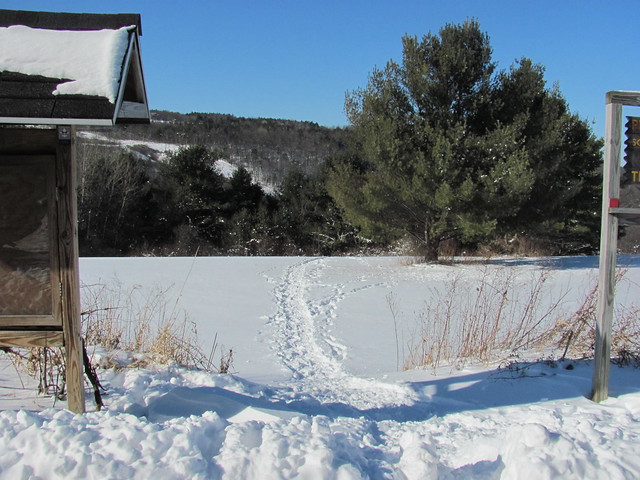
The trail across that field drops rapidly into the pleasant woods.
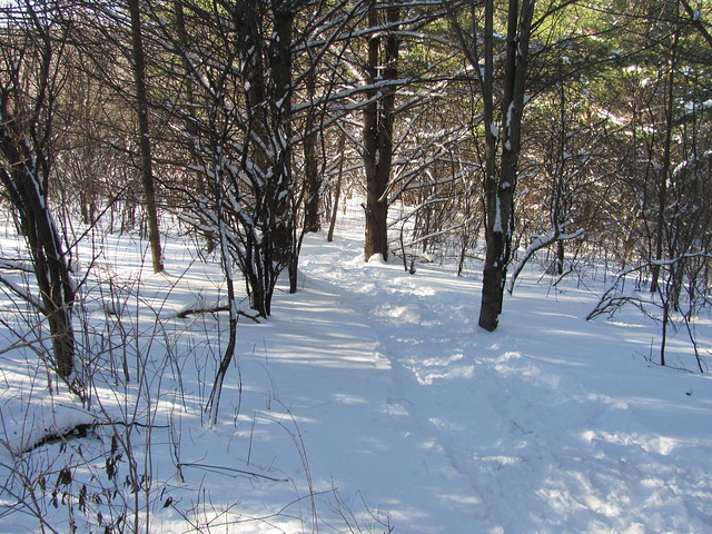
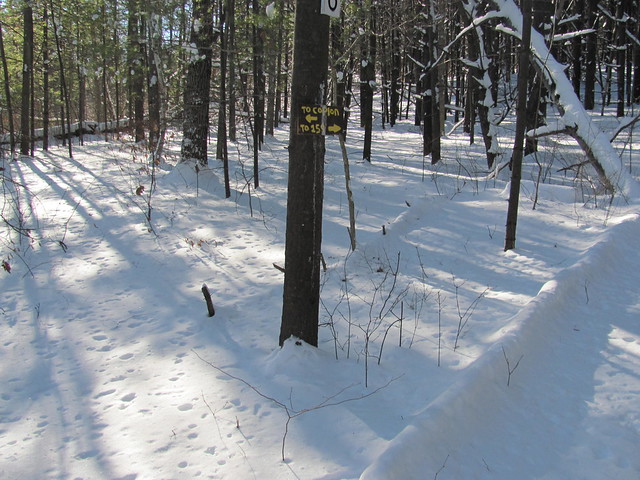
It joins the south rim trail just where the rim trail goes down into the gorge to the crossing by the stone wall. At the junction there is one of the puzzling numbered signs that show up here and there.
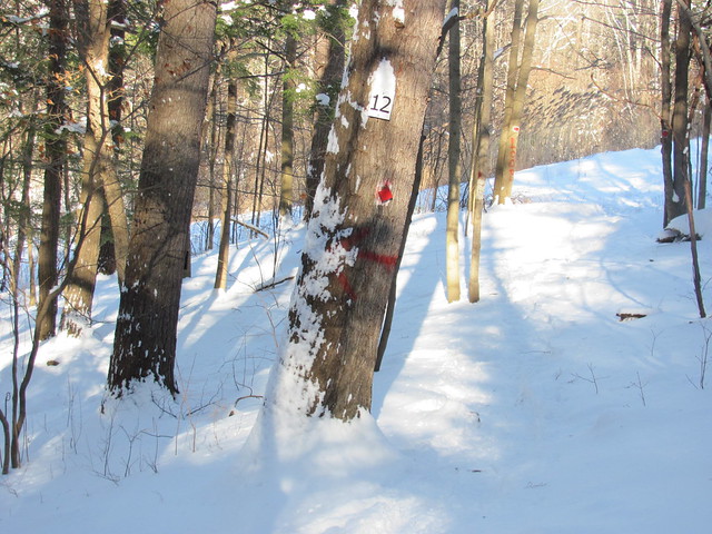
Both ways were broken out nicely, but I followed the trail down into the canyon, coming out by the stone wall. The ice was sound, and snowshoeing the stream was no problem. Once across, I saw that the tracks I was following angled right where the red trail goes straight north up the rim. I found myself on a red-and-blue blazed trail that I hadn't noticed before: every time I go in there, I spot something I'd missed. (Sure enough, I looked and it's there, shown as an unblazed herd path, on Ed Atkeson's map.)
Right where the power line crosses, there was a pile of blowdown on the bank, and whoever was hiking in front of me crossed the stream to circle it. I followed. The ice gave way underfoot in a spot or two, but there's only a few inches of water, so I didn't get my socks wet.
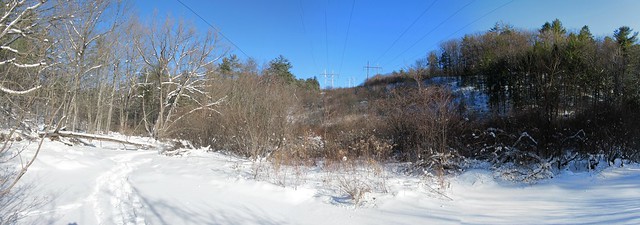
The tracks I was following turned right toward the Lower Gregg Road trailhead and the lower preserve, but I turned left and headed upstream. I broke the north rim trail as far as the junction with the trail to the crossing by the landslide.
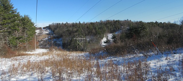
Right by there, I met another nice couple with two Labradors. (I think I was the only person in the park that day without a big shaggy dog!) I paused to grab a picture of the powerline view on the way.
I was going to finish the waterfall loop, but I had had a late start and was starting to worry about running out of daylight, so I just went a little farther, turned around, came back over the landslide crossing and back out. It turns out that I had nothing to worry about; somehow I moved much faster on the way back out and was out with at least an hour of daylight to spare.
On the way out, I chatted with a nice old man who was coming off the south rim trail walking with his Samoyed. (I told you, I was the only one without a big shaggy dog!) The dog was very friendly, and when we got to the trailhead, he trotted to the tailgate of my truck and sat there waiting to be let in! The dog's owner had to point out to beast that he was at the wrong truck, as I was telling him that I'd love to take him home, but the cats would have another opinion entirely.
All in all, a fun day out. It was nice to have a day that actually called for snowshoes. I'd have done it again today, but was a trifle short of time.
Now I've got the Coplon Road access and that red-and-blue trail uploaded to OpenStreetMap. Every time I'm in there, I seem to miss getting the trail on the north side down to the stone wall. I'm going to have to make it a point to get down that one.
All in all, a fun outing.
1 comment:
Hi Kevin, I was there Sunday morning around 7. I went down the spur that goes to the top of the lower falls and hiked up to the bottom of the upper falls. Pretty spectacular. When the creek is frozen you have a lot easier access.
Post a Comment