
(Do feel free to click through any of the pictures; there are bigger versions on Flickr, and many of them have notes attached.)
Since Kevin and Cathy had two cars available, they decided to do a hike that requires shuttling cars: from the end of Peck Road in Maplecrest, the trailhead of the Elm Ridge trail, to the dead end of County Road 56, where the Black Dome Range Trail crosses the Batavia Kill.
Starting from Peck Road, the trail climbs gradually about 300 feet in the first mile, passing a piped spring. At about the one-mile point, it reaches a junction with the Escarpment Trail (about a mile from the Escarpment Trail's northern terminus on State Highway 26).
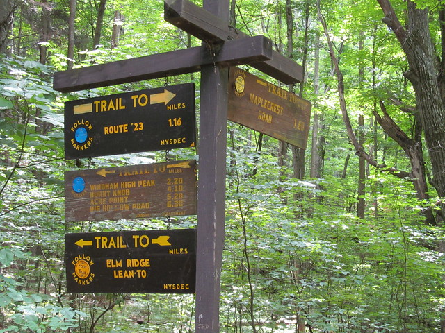
(Since posting this message, Kevin has learnt that the Elm Ridge trail now continues, unsigned, south and west on the ridge to additional viewpoints. A good hike for another time, perhaps combined with exploring the mountain bike trails in the Elm Ridge Wild Forest.)
Near the junction stands the Elm Ridge lean-to, which provided a good place to sit for a few minutes and grab a quick drink of water.
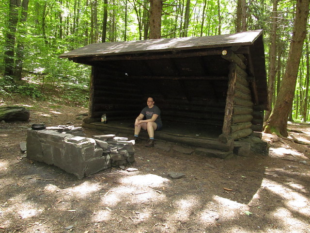
Behind the lean-to, a family had set up an astonishingly large tent and were barbecuing something at a fire ring at their tent site. Kevin and Cathy decided not to invade their lunch.
After the quick sit-down, it was time to shoulder packs again and head on up the Escarpment Trail, which continued a mostly-gradual ascent eastward onto Windham High Peak. The trail traverses a large grove of Norway spruces, planted during the Great Depression by the Civilian Conservation Corps as a reforestation project. (Surely such a project, if attempted today, would use native species, rather than imports!) Where the ridge forms saddles, the trail gets quite wet, and the fragile soil and vegetation are protected by bog bridges.
On the way up, Kevin has an interesting encounter with a butterfly. The details of the story are in another post.

The party also encounters a group of Tibetan Buddhists (with little bronze prayer bells jingling on their backpacks!) and the obligatory pack of Korean tourists.
Before long, the trees afford tantalizing hints of the viewpoints to come. (Kevin notes that this ought to be a great hike on snowshoes: there will be even more expansive views with the leaves off the trees!)
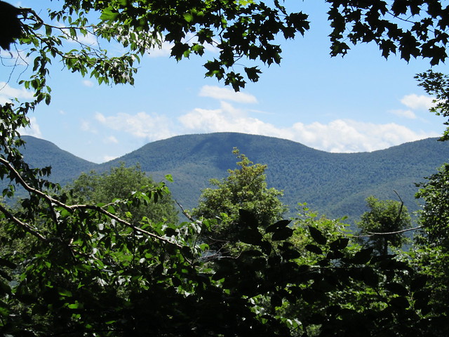
About three miles from the starting point, the trail reaches the flat summit of Windham High Peak. From the summit, short side trails lead to three overlooks. Kevin and Cathy sit down at the first of these to have lunch. It has a good view of the Blackheads, with tiny glimpses to the left of Stoppel Point and Stissing Mountain, the latter far to the south and on the far side of the Hudson.
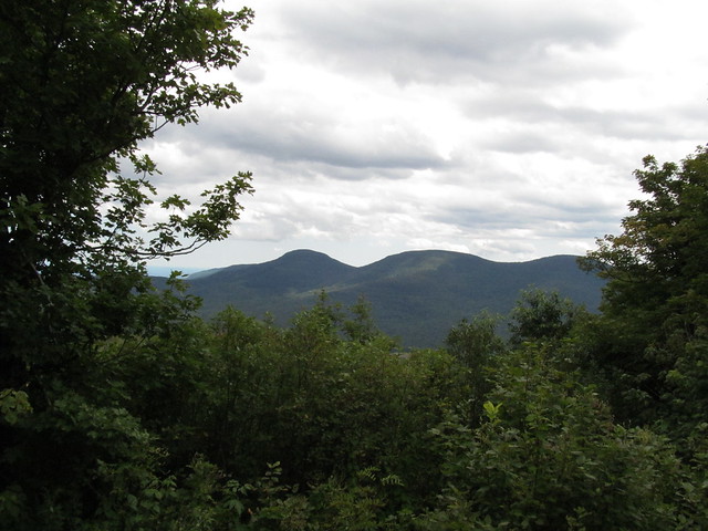
While eating, they watch the sometimes dramatic clouds roll by.
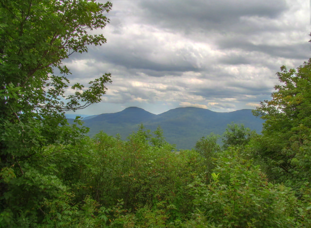
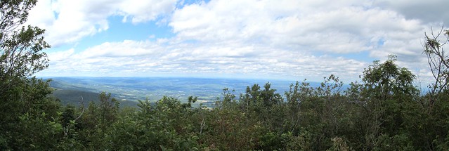
The other overlooks, of course, are not to be missed. The second looks north toward Albany and the Adirondacks.
While Cathy is paying attention to photography, Kevin chats a while with a Russian father and son who are backpacking a Blackhead Range-Windham High Peak loop, and then notices that there is a visitor appearing on the rock slab. (Some more boisterous hikers had frightened him into the vegetation as we were arriving, but he came back).
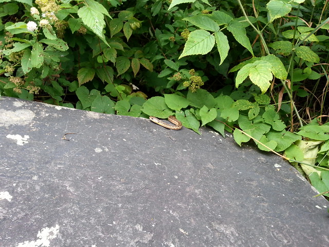
Not only did he come out to sunbathe,
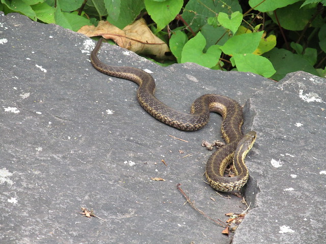
but he also brought along several of his friends.
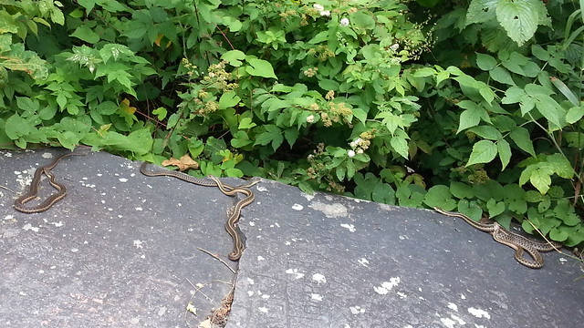
After watching the serpents for a bit, Kevin and Cathy walk on to the true summit (which is viewless). They grab a "we were here" picture of their boots
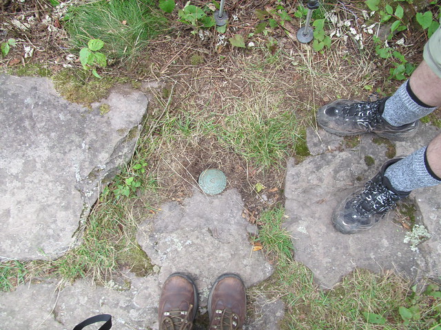
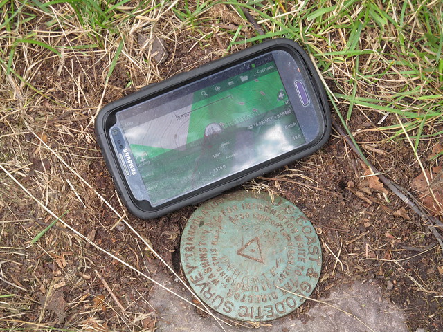
at the Geodetic Survey benchmark.
Just past the summit is another fine view looking east over the Hudson Valley, with the mountains of northern New England beyond.

Now the Escarpment Trail begins to show its true colors. The portions toward the northern and southern termini consists of gentle ascents, but the middle twenty miles or so is considerably more rugged. Kevin and Cathy were already aware of this. In fact, at the last overlook, they'd had a conversation with a pair of visitors from New Jersey, father and son, and the father had commented, "the guidebook said that the trip up to here was an easy three-mile hike!"
"Yeah, it's about three miles, and it is easy by Catskill standards. There was no rock climbing anywhere. It gets harder east of here, but there are a couple of viewpoints even better than these. If you want to come with us, I'll be happy to drive you back to Route 23 to pick up your car. We're only going another three-and-a-half miles or so."
"No thanks, if it's harder than this, I don't think we can handle it!"
"Suit yourself. Have a nice hike back! At least it's all downhill."
Kevin and Cathy plunge forward down a steep downgrade (requiring the use of hands to descend in a few places) to the col between Windham High Peak and Burnt Knob. The ascent onto Burnt Knob from the col offers a wonderful view back to the west over Big Hollow, the valley of the Batavia Kill, taking in the western Devil's Path, the Lexington ridge, and many lesser peaks, along with the farms that surround the village of Maplecrest.
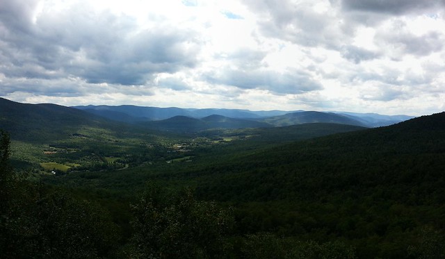
(If you want the peaks identified, click through to the Flickr version of the photo.)
On the way across, Cathy and Kevin are able to grab a quick snack of huckleberries; there's a large meadow of them in the saddle.
Having made the descent, the trail circles an unnamed knoll and makes an equally steep (but mercifully much shorter!) climb to Burnt Knob, which offers views even more superb than Windham High Peak. To the north can be seen the entire Mohawk Valley from Albany to Schoharie, with the Green Mountains and Adirondacks beyond

while the south has a view of the Blackheads and some of the rest of the Escarpment (Acra Point and Stoppel Point).

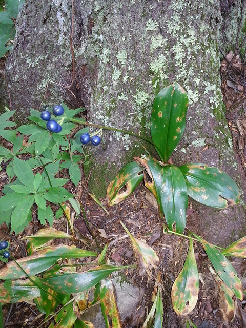
Just east of the overlooks, the Escarpment Trail joins up with the Black Dome Range Trail. Cathy and Kevin turn south onto the Black Dome Range Trail, and make a mile-long gradual descent, crossing and recrossing a fast-flowing tributary of the Batavia Kill, down to the second car. On the way, Cathy snaps a picture of some pretty berries. (Neither of us knows what they are: can any reader make an identification?)
What went right: Practically everything. Perfect weather, good company, a nice moderate hike with lots of interesting stuff to see.
What went wrong: Cathy was limping around the next day on a very sore ankle. Poor kid, she's been living in the flatlands for the past year and isn't used to mountain hiking any more. At least she was game to try - and succeed in bagging a peak.
Lessons learnt: Butterfly sex has a fascinating aspect to it. Cathy needs her own set of trekking poles. Kevin needs to remember to let the slowest hiker lead. (What? Kevin isn't the slowest hiker? He's overtaken others on the last few trips. How'd that happen?)
2 comments:
I enjoyed my armchair hike with you, wonderful pics, too. You probably would recognize that blue berried plant from your early Spring hikes with its yellow flowers, it's clintonia, also called corn-lily or blue-bead. We've lots around here in western MA, too.
http://www.ct-botanical-society.org/galleries/clintoniabore.html
Thanks for sharing..
So beautiful landscape.
Post a Comment