Sunday, September 4, 2016

2016-09-03 The Cliff at Middleburgh

Hi, it's me again, back from a long absence. It was just too much trouble to blog anything when my body was not up to much hiking. On Saturday, 3 September, though, I finally managed to get out for a decently challenging day trip, with few complaints from any of my aging parts.

I went to The Cliff, an unimaginatively named rock formation above the village of Middleburgh, New York that is traversed by the New York Long Path. (The route description is in the online guide book from the New York/New Jersey Trail Conference.)

The trailhead is unprepossessing. It's a driveway going between two vacant lots in a newly-built (and still unfinished) residential neighbourhood.
Middleburgh trailhead

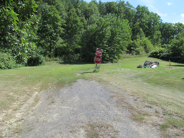
Almost immediately, the trail veers left up a very steep slope of loose shale. I missed the turn the first time, and didn't actually see this slope until the return trip. I climbed to the top of the cliff the long and easy way around on an ATV trail. The shale is very loose and slippery, and I was quite frightened on the return trip that it would all slide out from under me.

At the top of this slope stand two things of significance. The first is an enormous cedar tree. Dated at over five hundred years old, it is thought to be the oldest in the Northeast. The second is a vertical rock scramble and "lemon squeeze" that rivals anything that the Catskills have to offer. It's the Long Path's last thumbing of the nose: "so you thought you were done with scrambling? Have this!"
Rock Scramble on The Cliff at Middleburgh
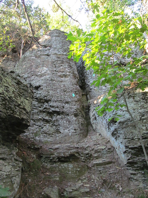
A YouTube video from “Scree Hiker” gives a feel for how strenuous it is, and how tight it is in the crack. A big guy like me makes it through only with sound effects: scraping gear and muttered profanity.

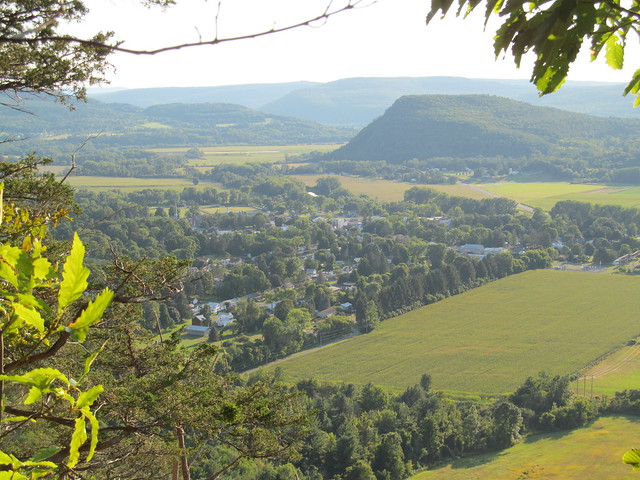
One on the top of the cliff, the hiker is rewarded immediately with a view of Middleburgh village, with Vrooman's Nose behind it. (It's also spelt, 'Vroman', and pronounced as if it didn't have the double O.)
Middleburgh village and Vroman's Nose from The Cliff

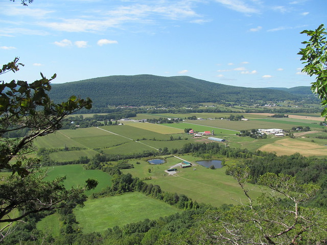
The trail then follows the edge of the cliff, sometimes alarmingly closely, for about a mile. All along this section are spectacular views across the rich farmland of the Schoharie Valley.
Schoharie Valley from The Cliff at Middleburgh

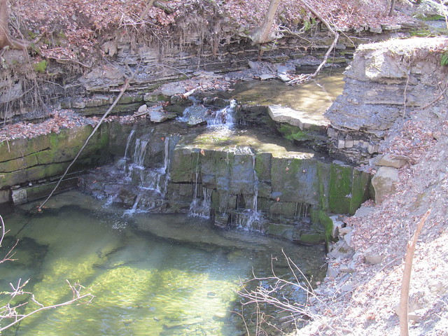
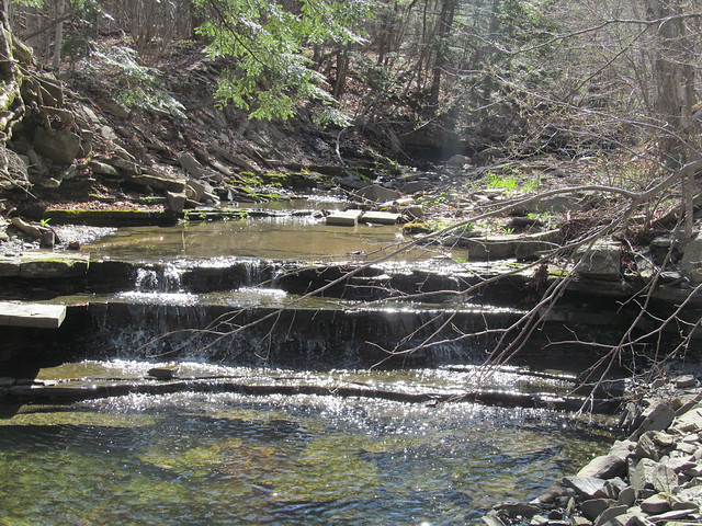
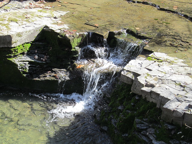
I then followed the Long Path through to Durfee Road in Cole Hill State Forest. Most of it is fairly level, but there's a steep plunge into and climb out of the head of The Gorge, another feature that the good people of Middleburgh have blessed with a singularly unimaginative name. At Durfee Road, about 4.5 miles in, I turned back the way that I had come. On the way out, I varied the route a tiny bit by exploring up and down a couple of the snowmobile trails, allowing me to close some more gaps in OpenStreetMap.

While coming back along the cliffs, I was surprised by a sudden "whoosh" going past my ear. It was a red-tailed hawk, soaring along the clifftop, passing with his wingtip just inches from my head! He appeared to be as surprised as I was, and gave me a scream before heading back into the rising air. It isn't often that you see one that close. (Alas, I missed getting a close view of the peregrine falcons that are also sometimes found in the area.)

On the whole, about 10 miles, with some elevation gain (at least 1500 feet, I reckon) and one challenging rock scramble, without a peep from my foot. I think I may just be up to some hiking again. It's surely about time!


Read more...

Tuesday, April 26, 2016

2016-04-24 Wolf Creek Falls

Wolf Creek Falls
On Sunday, April 24, I got the urge to get outside even more strongly than usual, and decided to go out for a stroll despite some warning twinges from the fasciitis in my foot. I headed over to the Wolf Creek Falls Preserve in the town of Knox, because it contains a short section of the New York Long Path, and its trails had not yet been placed on Open Street Map. (They're there now! Getting the little nature preserves in the Helderbergs mapped has been a pet project of mine, off and on.)

What with church choir and socializing afterwards, it was after three by the time I actually got out on the trails, and I spent about three hours walking around, making field notes, and taking careful compass sights down the many stone walls that crisscross the preserve. I was fairly pleased with the result on the map. As the data propagate, sites like CalTopo or Open Hiking Map will now show the preserve.

I managed to put in about five miles, getting GPS tracks for all of the trails at least once and most of them twice. Averaging these with the tracks on the Mohawk-Hudson Land Conservancy's site gives me with a layout that I feel fairly comfortable with. I may head back at some point to walk everything again in the opposite direction and have further data for averaging.

The Wolf Creek itself runs through the north half of the preserve. It is, for the most part, in a pretty little glen with many riffles and a couple of fairly substantial waterfalls.
Wolf Creek Wolf Creek Wolf Creek Falls

Where the creek leaves the preserve, it's considerably uglier, as the water flows under a strange railroad culvert. The reason for the odd construction is that the upper pipe once carried runoff from a gravel sorting and washing operation that used water from the upper reaches of the creek and had a freight siding for loading gravel. Nearby on the trail, there is a ruined foundation of part of the workings, and various bits of wreckage on display.
Railroad culvert Wreckage Wreckage

While walking the trails, I saw a garter snake, the first I've seen this spring.
Garter snake

A blind that's just beyond the stone wall on the south side of the preserve shows that the neighbour must be a hunter.
Game hide

The property has an unusual number of stone walls crisscrossing it. The two long ones that run its entire width date back to the early 18th century, and mark the boundaries of great lots 791 and 792 of the huge feudal Rensselaerswijck estate. The Van Rensselaer family owned what today is the better part of four counties, and ruled it as lords of the manor right up to the Helderberg War (or Anti-Rent War) of 1866, which was fought on this very ground in the Town of Knox.

The remaining division into rectangular sections was made in the middle of the 19th century by a sheep farmer named Van Auken. He built the walls both to clear the fields and to divide up the pasturage into manageable chunks. The wool that he harvested went to the Huyck felting mill in Rensselaerville, whose ruins I visited on an earlier mapping trip.
Ruined mill

All in all, rather a frustrating day, although at least I got out. Five miles on easy trails, and at the end of it my foot was killing me! I'm obviously not in any shape to return to the high peaks yet. I do hope that this plantar fasciitis lets up soon, it's been months!


Read more...