Showing posts with label hike. Show all posts

Thursday, November 12, 2020

2020-11-08 Buck Mountain, Pilot Knob, NY

No progress on software development Sunday - I was out hiking. My daughter and I climbed Buck Mountain, on the east shore of Lake George, NY.

Buck is one of the Lake George 12. I know that I climbed it before, but have no idea when. Cathy, too, may have climbed it, too, on a backpacking trip from Camp Chingachgook. In any case, now we have both logged it properly with a date and photo evidence.

I'll do a proper trip report later. I've got a back catalog to get through.

Kevin on the summit of Buck Mountain

Kevin on the summit of Buck Mountain


Read more...

Sunday, September 13, 2020

2019-08-10 Cat and Thomas Mountains - starting on the back catalog

I realize that I'm over a year behind on trip reports. This post is the start of a series where I'm blogging the 'back catalogue' of stuff I've done, so that I have something electronically searchable, and so that I no longer have to puzzle out the smudged handwriting in my journal.

On August 10, 2018, I decided to go hiking and try to get a view for a change. I had been kind of 'taking a reset', because all my eye and foot problems had me mostly off the trail for a few years. Because of this, I kind of wanted some intermediate-level stuff to get back on my feet: hard enough to be challenging, enough views to be rewarding, but something less than the trips I'd been accustomed to - multiple bushwhack high peaks in a single day is surely something I need to work back up to!

The Lake George 12ster had kind of caught my eye as being at that level. Other people's pictures looked lovely. I'd done Buck Mountain at some point a very long time ago and remembered it as having a nice view. I decided to start with Cat and Thomas Mountains.

This is where I'd ordinarily insert some observations about history of the names, but I'm coming up blank. My best guess is that the 'Thomas' of Thomas Mountain is a family name, and that Cat Mountain is named for the cougars (Puma concolor) that formerly inhabited New York State. The two mountains are the most salient features of a preserve that was purchased by the Lake George Land Conservancy in 2003, less because of its recreational value than to protect the water quality of Edgecomb Pond, the reservoir that provides the Town of Bolton with its drinking water. Ten years later, the conservancy sold the land to New York State, and it's now part of the Lake George Wild Forest.

Forecast weather was usual for August, “25% chance of late-afternoon showers.” I can live with that! I chose the Edgecomb Pond parking area simply because it's less popular. The trail started out on a woods road, still used by the township for maintenance, that circles the pond. The waterworks are in a pretty, park-like setting, glimpsed here from across the reservoir.

Edgecomb Pond

Just after the pond, I started up Cat Mountain on a red-blazed trail. The trail started out pretty clear (except for my color-blindness!) but pretty rapidly faded to a level of marking typical of a wilderness trail. Going a couple of hundred yards without seeing a marker or paint blaze was not uncommon. Still, it wasn't hard to follow. The trail is on DEC's map, but isn't in the preserve's brochure, probably because the conservancy doesn't want newbies getting lost there, or falling off a cliff.

Nearing the top of the mountain, the trail gets steep and scrambly among the cliffs. It starts to give glimpses of the southern end of Lake George, with the Tongue (the large peninsula that juts into the west side) at left, Lake George Village to the right, and the ridge of Black Mountain, Mount Erebus, Sleeping Beauty, Buck Mountain and Pilot Knob across the lake.

Lake George

The summit had a number of other hikers on it, so I didn't get a really good capture of the panoramic views. I found a spot to sit and eat lunch, and was joined a little way off by a nice couple with an even nicer dog. I think I made a friend for life when I gave the pooch the last bite of my sausage. (With the owners' permission, of course!) In place of the last bite of sausage, I gathered a handful of blueberries from the bushes growing from cracks in the rock. There's a survey benchmark in there somewhere, but I didn't trouble to search for it.

Cat Mountain summit

As I started down, I corrected my altimeter, and noticed that the barometer was falling. As I enjoyed the fine view of the southern Adirondacks spread out before me to the west, I also mentally upped that “25% chance of showers” estimate: those clouds were starting to look a bit ugly.

Cat Mointain summit

I continued circling the preserve on the yellow-blazed Richard Hayes Philips Trail, which is a strenuous walk along a ridge line with occasional scrambles. I continued keeping a literal weather eye out. Those clouds looked to be getting closer.

Brief view

Just before the summit of Thomas Mountain, the trail made a couple of quick switchbacks up a cliff face, the sketchiest footing of the day. It then came up onto a cleared ledge, again with a nice view south over the lake. This clearing had been the site of a cabin until the conservancy bought the land. For several years, the cabin was open to hikers as a campsite, but it was abused, and became a health and safety concern. When DEC took over the land, it was also declared incompatible with a Wild Forest. It was of negligible historic value, having been built in the 1990's. DEC eventually demolished it at the end of 2017.

From the cabin site, the trail makes its way out on the cabin's gravel driveway. As I trundled down the driveway, I suddenly was glad that the rock scrambling was over for the day, since suddenly I was in a downpour. I donned my rain jacket and continued, making the turn back onto the blue-blazed woods road that leads back to Edgecomb Pond. There were a couple of spots of wet footing where the streams were starting to flow, and few photo opportunities, although I managed to grab one shot of a beaver pond in the pelting rain.

Beaver pond

I got to the parking lot as the storm was blowing over and daylight was starting to fade. I found that I was the only car there, except that I was surprised by a local cop turning into the lot just as I was changing out of my sodden hiking gear into dry “town clothes” If they noticed that they'd caught me in an em-bare-assing position, they chose not to say anything, or even acknowledge my presence, and drove on. Whatever they were looking for, it wasn't a wet and tired hiker getting ready to leave.

I'd had in mind the secondary possibility of checking out the view from The Pinnacle, another knob of rock just a mile away, but I'd got a late start and then been slowed by the weather. Maybe another time. [Post hoc: The Pinnacle is now closed to the public. I presume that it's because of the Great Plague, and at some point it can reopen. It would be a quick side trip if I happen to be in Bolton Landing with a couple of hours to kill.]


Read more...

Tuesday, September 8, 2020

2020-09-06 Eagle and Big Indian mountains

On Sunday, September 6, Cathy and I decided to go hiking again - this time to Eagle and Big Indian Mountains in the Catskills.

She was particularly eager to do Eagle because for her it was the one that got away and we decided that if all went well, we might be up to a second peak. Big Indian is one mountain over, and you've done 2/3 of the work of climbing it once you're on the approach trail!

We agreed to meet at 8am, Musician Standard Time (There isn't a musician who's ever on time for an early morning appointment), got rolling in good order and were on trail about 10:15.

We headed for the trailhead at Seager, a settlement named for George Seager, a settler who homesteaded there in 1800. The access road, Dry Brook Road, winds up a picturesque gorge and passes three covered bridges on the way in.

There were only two other cars at the trailhead, bearing decals like "Winter 35'er" and "Long Path End-to-End," so we knew we were in the company of some pretty awesome hikers. We exchanged pleasantries and started up the couple of miles of trail that cross Furlow, one of the estates of Gilded Age robber baron Jay Gould, which still belongs to his descendants. The descendants have graciously given hikers permission to access the trail (as well as one or two other blazed trails that cross their land elsewhere). The rest of the large estate is to be considered strictly off limits.

One of the easier stream crossings

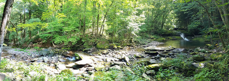
The trail, an old carriage road, runs along the bank of Dry Brook, with numerous fords of tributaries and traverses of washouts, some of which have pretty sketchy footing. Bank of Dry Brook It's a pretty easy stretch of trail otherwise. It passes a lovely pool with a waterfall, which would have tempted us to swim were it not for the fact that it was a fairly chilly morning and there were obvious signs forbidding trespassing. (Always respect the landowner!)

Waterfalls on Dry Brook

Incidentally, Dry Brook is anything but dry! The origin of its name is unclear. One speculation is that it was named "Drie Broek" by the Dutch because it is the third large stream above the Forks of the Delaware. That sounds a but odd to me: "Derde Kill," or "Derde Beek," would seem more likely as a name. But I've not heard a more likely explanation!

Stream crossing

In any case, the trail comes to a place where it joins a private road. It follows the road across the very wet Dry Brook at a ford. Even in high summer, an SUV must drive through flowing water there. I'm sure it's completely impassable in snowmelt! Again, the footing was a bit sketchy, but we managed to cross dryshod.

It was there that we ran into our second party of the day. They obviously belonged to a different subculture from ours.

“Are you guys heading to Camp 13?”(Never heard of it...)

“No, we're looking for where the trail up to Big Indian leaves the road. We want to make sure we don't miss it.”

“You need to ask that tall guy in the red cap. He's a real hiker and knows all the trails.”

Red-capped gentleman: “Oh, you mean up to the ridge? That trail goes straight up, you know!”

“We'd heard there were a few spots of scrambles.”

“So, are you guys backpacking?”

“No, just here for the day.”

“Daytripping? All the way up there?” He shook his head. “Good luck!”

We decided not to tell him that we were planning to attack two mountains. We pretty quickly spotted the trail sign - the turnoff is not nearly as obscure as others' trip reports had led us to believe, and continued down a wet trail, now following Shandaken Brook, fording it back and forth a few times. to the beginning of the state-owned wilderness and a lean-to.

Shandaken Creek lean-to

Up to this point (about 2.5 miles [4 km] in), there's been only about 400 feet (120 m) of elevation gain. The trail now begins to climb in earnest, gaining about 900 feet (275 m) more in the next mile (1.6 km) taking a steep path full of loose rock with blackberries on one side and nettles on the other. We managed to avoid taking any bad scratches or stings, although Cathy did take a bit of a tumble off a rock that was both loose and slick with algae. She bounced right back up, with the only damage being a slightly wrenched thumb from a trekking pole strap. She's a trouper!

Once we made it to the col, and started along the ridge for Eagle Mountain. The trail was level a lot of the time, interspersed with scrambles up steep ledges. (Everywhere in the Catskills, there's a scramble at about 3400 feet (anout 1 km) elevation, where a layer of soft mudstone is overlaid by a layer of much harder conglomerate rock.)

One of the scrambles on Eagle Mountain One of the scrambles on Eagle Mountain

We negotiated the scrambles, Cathy with more grace than Kevin, found the turnoff, and arrived at the summit, where I was surprised to find a canister. I learnt from other hikers that it was only a year old. We signed in, and had a chat with another party— relative newcomers to the Catskills—who were backpacking the Pine Hill-West Branch trail over Big Indian, Eagle, Haynes, Balsam and Belle Ayre mountains.

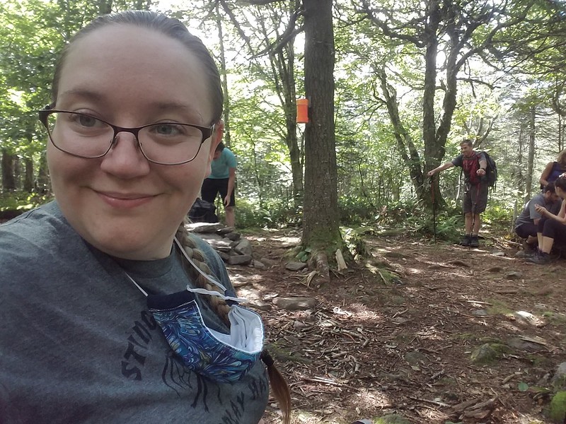
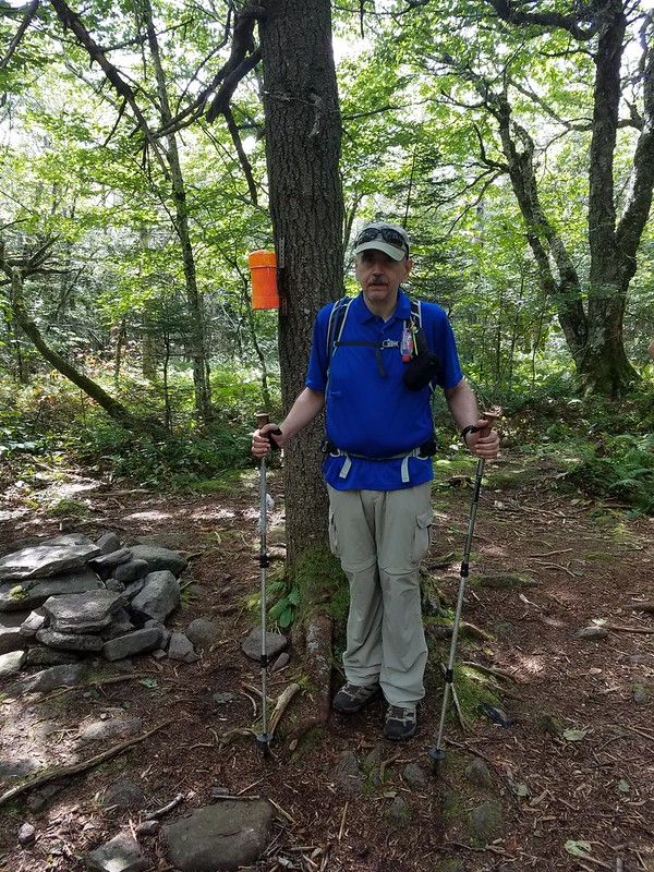
Cathy's summit selfie Cathy grabs a picture of Kevin

I don't know the origin of the “Eagle Mountain”” name, but once upon a time, the Catskills were known for having the birds. Herman Melville wrote [Moby-Dick, chapter 96]:

[...]there is a Catskill eagle in some souls that can alike dive down into the blackest gorges, and soar out of them again and become invisible in the sunny spaces. And even if he for ever flies within the gorge, that gorge is in the mountains; so that even in his lowest swoop the mountain eagle is still higher than other birds upon the plain, even though they soar.

I'll think of that as the reason for the name; it might be an uplifting enough thought to keep me climbing!

While we were eating our own lunch, we were visited by a couple: an old mountain-man and his mountain-woman. We learnt that she's completed the Catskill Grid: climbing each of the 35 high peaks in every month of the year, for a total of 420 ascents. (Not an achievement that would appeal to me: I like to see new places!) We wished them well, they wished us luck in finishing the 35, and we headed back for the col.

At the trail junction, we had a strategy conference. It was mid-afternoon by now, and we had to decide: do we head down, or do we press on for Big Indian Mountain? We decided that if we still had enough natural light to take the ford by the private road, we could hike the remaining couple of miles by headlamp if necessary, and decided to go for it. (We are not immune to get-there-itis.)

The way up along the ridge to Big Indian was a little longer and steeper than the one to Eagle, There was more loose rock, more scrambling, and a few tilting slabs of rock where Cathy was pleasantly surprised that the soles of her new shoes gripped (so no need to find better holds). The slabs are obviously a problem in winter—they were covered with scratches from climbers' crampons trying to gain purchase.

Along the way, Cathy asked me about the “Big Indian” name. I was able to tell her that Big Indian Mountain, Big Indian Hollow, and the village called Big Indian were all named for an extremely tall native, the subject of a local legend that I couldn't recall. I looked it up after we got home. The legend appears to be one of the ones invented out of whole cloth by 19th-century developers to sell land in their villages.

Winnisook, so the story goes [Charles M. Skinner, Myths & Legends of Our Own Land. Philadelphia, Penna.: J.B. Lippincott, 1896, pp. 28-29], was a seven-foot-tall Algonquin, who fell in love with a Huguenot girl from the hollow, named Gertrude Molyneux. He asked for her hand, but her father refused, and insisted she marry a white man, She conceded, and was married to one Joseph Bundy, who proved to be an abusive drunk. Believing that she would be happier among the natives, she eloped with Winnisook. Her family's search for her was in vain, unto one day Winnisook was sighted leading a cattle-raiding party. The villagers gave pursuit, with Bundy leading the chase. Bundy, crying that Winnisook had stolen not only his cattle but also his wife, fired his rifle. The mortally wounded Winnisook crawled into the hollow of a pine tree, where the farmers lost sight of him. Gertrude later found him there, sitting bolt upright, but dead. The villagers were fond of pointing out the tree, until the construction of a railroad in the valley removed it. (The railroad itself did not survive for very many years.)

Since Skinner's book, the story has grown in the telling. Mary Lou Stapleton, once a shopkeeper in the valley, added the detail that nobody had been able to extract Winnisook's body from the tree, and it had grown about him. As she tells the story: ['TravelStorys': “Catskill Mountain Scenic Byway - Legend of Winnisook”, available on SoundCloud], when the railroad men felled the tree, the skeleton of the Big Indian fell out, and they said, "well, we have the name of our town now. It's called Big Indian."

She went on to say,

I used to do events at my store. I would do a little event called, “Celebration of the Big Indian.” I would have vendors and I would have drumming. It was the last time that we did it and it was a lot of people there. I came home and I was just exhausted. And at three o’clock in the morning I woke up and it was like someone was calling me. I went back down to the store and I circle there, and I actually saw a vision. I saw all very, very old indians dancing in a circle. And they were calling me. So I went in the circle and I danced for two hours, until 5 in the morning, and I was with all these native people. And I came back home and I went to bed. A few months after that, I was given my name, and it was “Spirit Dancer.” That was pretty amazing… That was pretty amazing.

Winnisook Lake, and the exclusive Winnisook Club, at the head of the valley, are also named for the Big Indian.

Whatever the truth of the legends, Cathy and I pressed on, she unaware of them, and I having forgotten them. When the trail leveled out near the summit, we started searching for how best to get to the true summit and the canister. The trip reports we'd read all said that there was a well-trodden herd path that led from the trail to the canister. We scouted for it, and found three herd paths leading east from the trail. The first, and most promising-looking, petered out after a few hundred feet, at a false summit perhaps a quarter-mile north of the true one. The second, nearly as well-trodden, scrambled a ledge and then disappeared.

The third herd path was the least auspicious of the three, but third time was the charm! We were able to follow it, falling briefly back on the compass when it occasionally vanished, all the way to the summit clearing (with a leaf-shrouded hit at a view to the southeast,) We signed in, took the obligatory selfie, but didn't hang around. We were going to have to make tracks if we were to have light for the trip out!

Big Indian Mountain

We rushed all the way back on the same trails that we used to get in, moving so fast that we occasionally noticed ourselves getting winded and sweaty - on descent! We made excellent time, arriving back at the trailhead around 7:15, doing the five miles (8 km), including 1700 feet (about 500 m) of occasionally steep, scrambly, slippery descent, and many rock-hops over creeks, in about two-and-a-half hours. Cathy hadn't lit her headlamp at all. My vision in dim light isn't as good as hers, so I had used mine for the last half-mile or so, with the Sun having disappeared behind the Dry Brook Ridge and the trail running in the shadows of a deep pine forest.

Cathy's smart-watch showed us as having hiked 13 miles (21 km) on the nose, with 2400 feet (730 m) of elevation gain. That's probably her most strenuous Catskill day yet, and close to being mine! We scored two new technically-trailless peaks for Cathy, and one new one for me, bringing my tally to 29/35 + 4/4 in winter—just six climbs to go to finish the 3500's! Alas, Doubletop is now closed to me. The owners are allowing only hikers from six neighbouring mostly-rural counties to climb it, and I don't live in any of the six. Unless the situation changes,, I'll probably max out at 34/35. Scuttlebutt on the trail is that Doubletop will soon be closed to hikers altogether—the latest generation of the family is more protective of the land.


Read more...

Tuesday, April 26, 2016

2016-04-24 Wolf Creek Falls

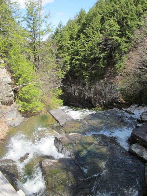
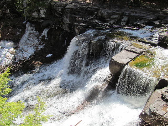
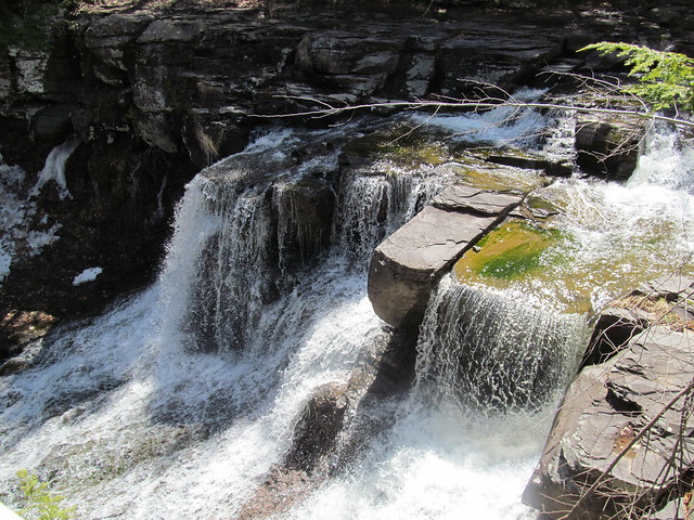
Wolf Creek Falls
On Sunday, April 24, I got the urge to get outside even more strongly than usual, and decided to go out for a stroll despite some warning twinges from the fasciitis in my foot. I headed over to the Wolf Creek Falls Preserve in the town of Knox, because it contains a short section of the New York Long Path, and its trails had not yet been placed on Open Street Map. (They're there now! Getting the little nature preserves in the Helderbergs mapped has been a pet project of mine, off and on.)

What with church choir and socializing afterwards, it was after three by the time I actually got out on the trails, and I spent about three hours walking around, making field notes, and taking careful compass sights down the many stone walls that crisscross the preserve. I was fairly pleased with the result on the map. As the data propagate, sites like CalTopo or Open Hiking Map will now show the preserve.

I managed to put in about five miles, getting GPS tracks for all of the trails at least once and most of them twice. Averaging these with the tracks on the Mohawk-Hudson Land Conservancy's site gives me with a layout that I feel fairly comfortable with. I may head back at some point to walk everything again in the opposite direction and have further data for averaging.

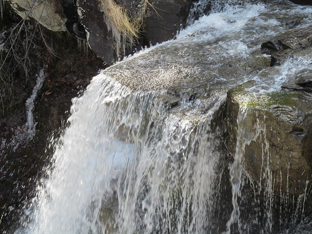
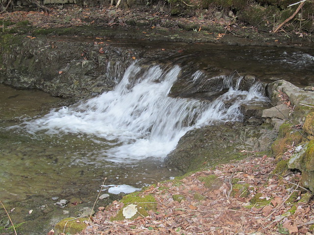
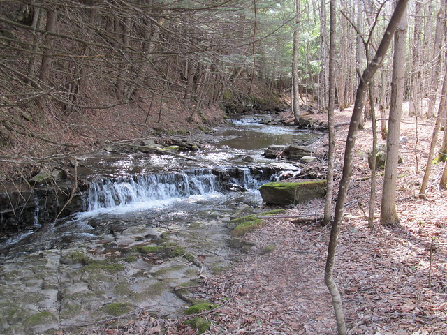
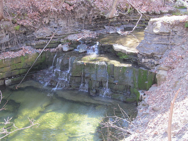
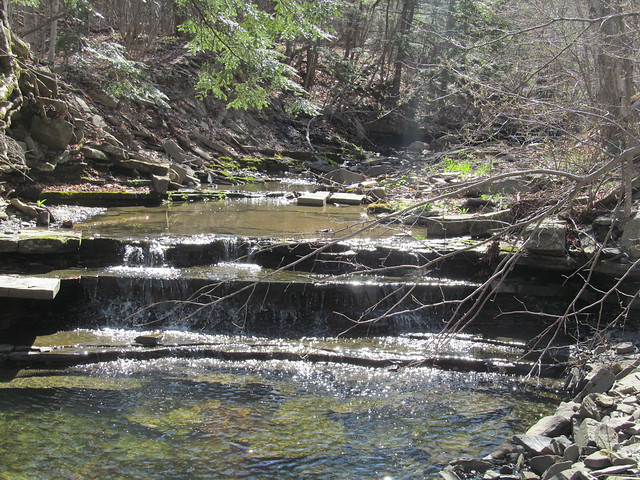
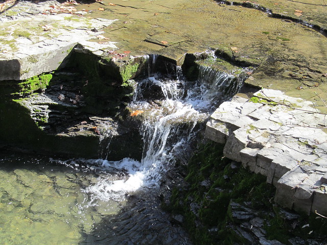
The Wolf Creek itself runs through the north half of the preserve. It is, for the most part, in a pretty little glen with many riffles and a couple of fairly substantial waterfalls.
Wolf Creek Wolf Creek Wolf Creek Falls

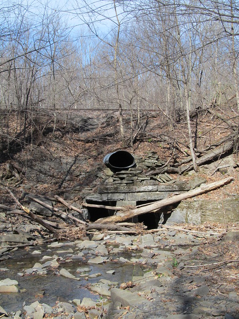
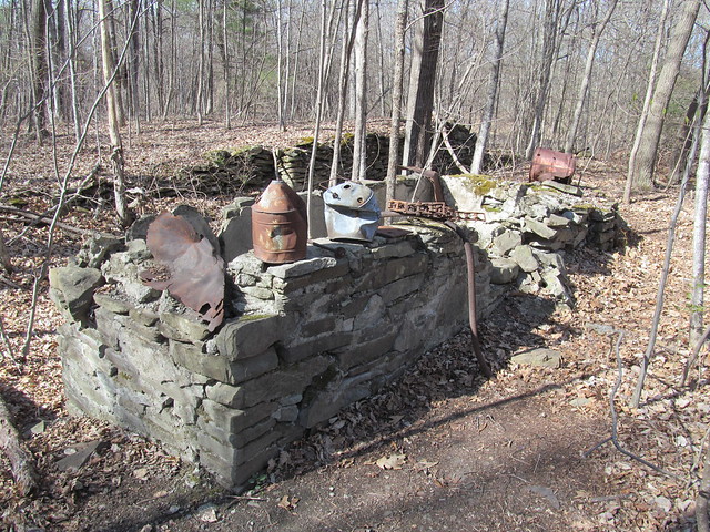
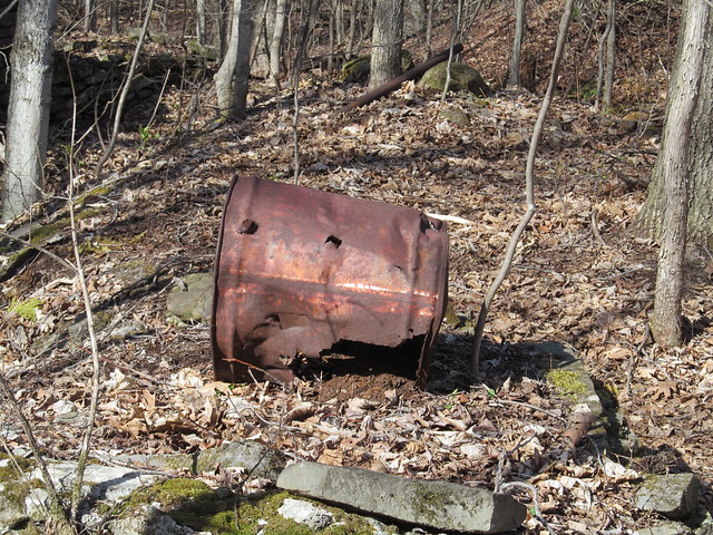
Where the creek leaves the preserve, it's considerably uglier, as the water flows under a strange railroad culvert. The reason for the odd construction is that the upper pipe once carried runoff from a gravel sorting and washing operation that used water from the upper reaches of the creek and had a freight siding for loading gravel. Nearby on the trail, there is a ruined foundation of part of the workings, and various bits of wreckage on display.
Railroad culvert Wreckage Wreckage

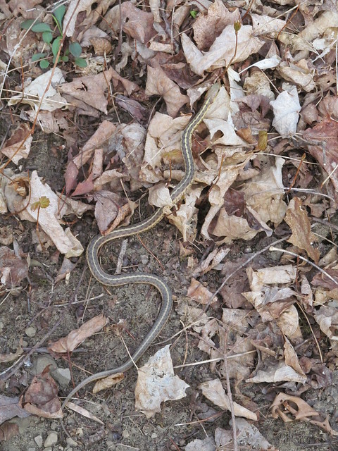
While walking the trails, I saw a garter snake, the first I've seen this spring.
Garter snake

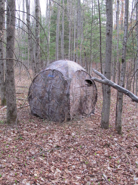
A blind that's just beyond the stone wall on the south side of the preserve shows that the neighbour must be a hunter.
Game hide

The property has an unusual number of stone walls crisscrossing it. The two long ones that run its entire width date back to the early 18th century, and mark the boundaries of great lots 791 and 792 of the huge feudal Rensselaerswijck estate. The Van Rensselaer family owned what today is the better part of four counties, and ruled it as lords of the manor right up to the Helderberg War (or Anti-Rent War) of 1866, which was fought on this very ground in the Town of Knox.

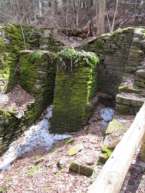
The remaining division into rectangular sections was made in the middle of the 19th century by a sheep farmer named Van Auken. He built the walls both to clear the fields and to divide up the pasturage into manageable chunks. The wool that he harvested went to the Huyck felting mill in Rensselaerville, whose ruins I visited on an earlier mapping trip.
Ruined mill

All in all, rather a frustrating day, although at least I got out. Five miles on easy trails, and at the end of it my foot was killing me! I'm obviously not in any shape to return to the high peaks yet. I do hope that this plantar fasciitis lets up soon, it's been months!


Read more...

Thursday, May 21, 2015

2015-05-16 Mapping Trips

2015-05-16 Mapping the Helderbergs

There's been too long a hiatus in blogging here, but I've been kind of busy. Still, I've recently had the opportunity to get in a little bit of walking (on easy trails: I won't dignify it with the term, 'hiking') and mapping for OpenStreetMap.

The last few mapping outing, I've been concentrating on the little nature preserves that are strung out like beads along the rim of the Helderberg Escarpment. Many of them are fairly new, since Albany County has been pursuing conservation easements and outright property transfers in recent years, to try to preserve the view as well as the unique environment of the Heldebergs.

2015-04-18 Wolf Hill

On 25 April, I did the first of these mapping expeditions this spring, starting with the Keleher Preserve atop Wolf Hill. This is a smallish (447 acre) plot, with a few miles of moderate trail. Like all of the Helderberg preserves, people tried to farm this land once upon a time, despite the shallow and poor soil. There is ample evidence of ruins. The land was in private hands until two parcels were conveyed to the Mohawk Hudson Land Conservancy in 2010 and 2014.
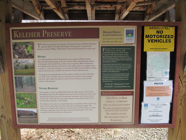
Kisosk

I hiked in past evidence of recent logging,
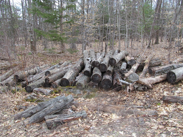
Cordwood

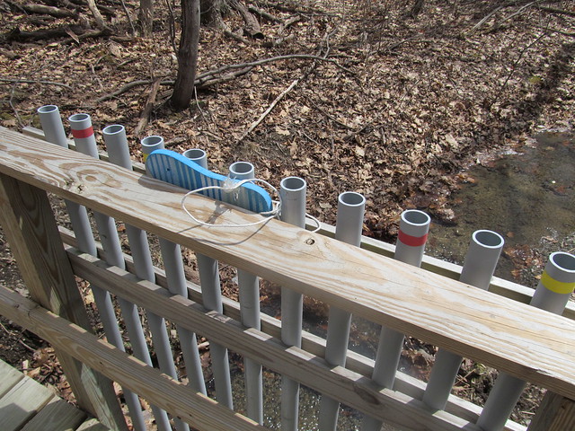
I quickly came to an interesting conceit that I've now seen in several of the preserves: a bridge fitted with lengths of PVC pipe tuned like organ pipes. You play it by beating on the tops of the pipe with flipflops that are tied to the bridge. I tapped a couple of bars of a Mozart melody and continued, smiling inwardly, but still more pleased with the babble of the brook.
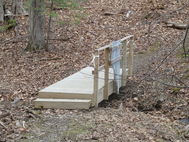
Bridge
Organ bridge

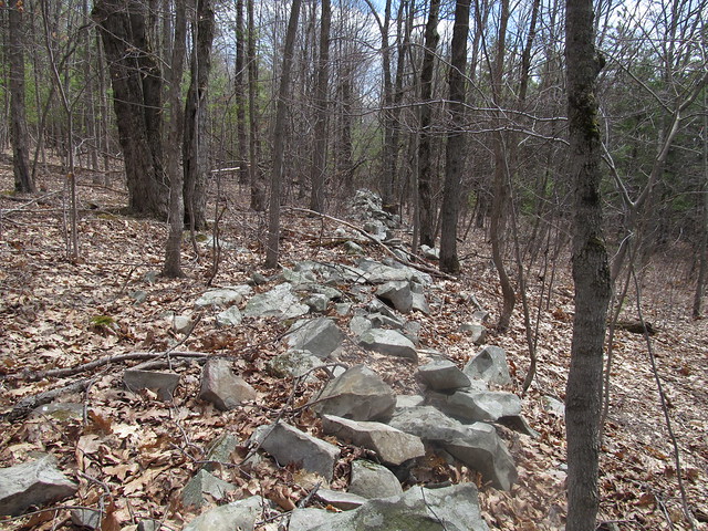
The trail steadily ascends the hill, past a number of stone walls that once bordered fields and pastures.
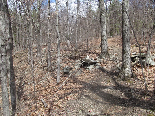
Old stone walls
Old stone walls

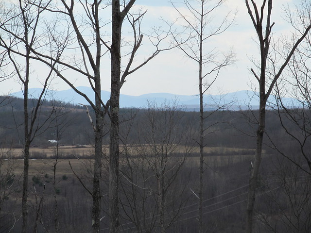
I thought that I'd follow the abandoned Wolf Hill Road to the south end of the preserve, where there are reported to be some nice views. Because of the road's being unblazed, and my unfamiliarity with the preserve, I turned off too soon, down an abandoned logging road. I lost the road a couple of times, but each time I found it again and followed it south - inadvertently straying off the preserve to the best views I had all day. Just southwest of the preserve, the whole area has been recently clearcut and has a sweeping view, where the distant horizon shows the Blackhead Range, Windham High Peak, and the ridge ascending to Huntersfield Mountain.
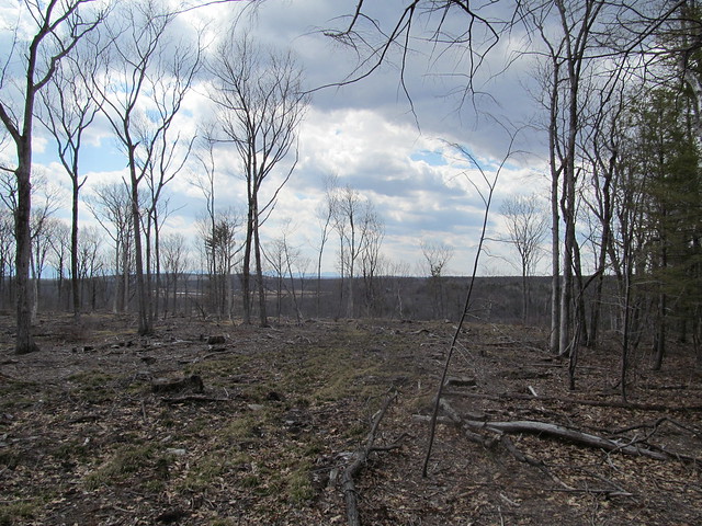
Clearcut
Huntersfield ridge

When I arrived at the clearcut, I knew I'd gone astray, and made my way up the ridge to the correct road - which was, of course, perfectly obvious, The road was still blocked in spots by drifts of patchy wet snow, much churned by ATV's. Snow on the trail
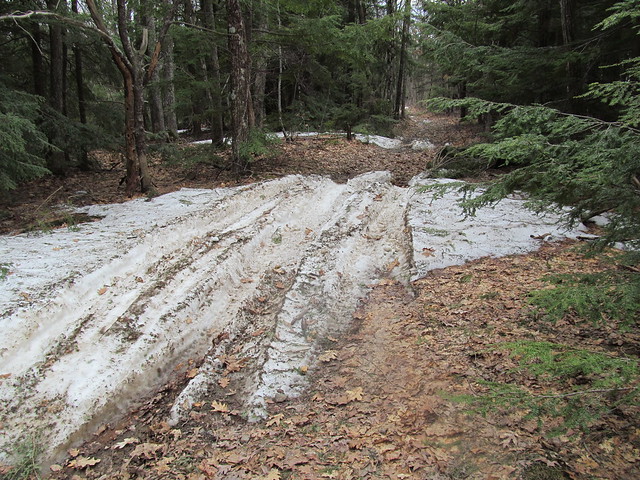
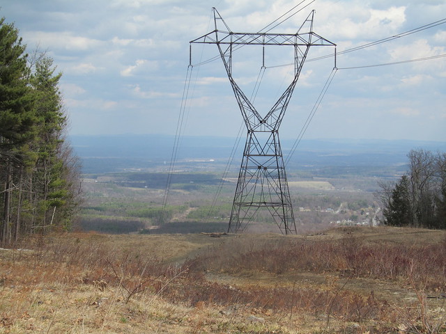
I soon reached the powerline cut that forms the preserve's southernmost extreme, and it did indeed offer views, both east toward the Hudson Valley and the Taconic Mountains beyond: View east
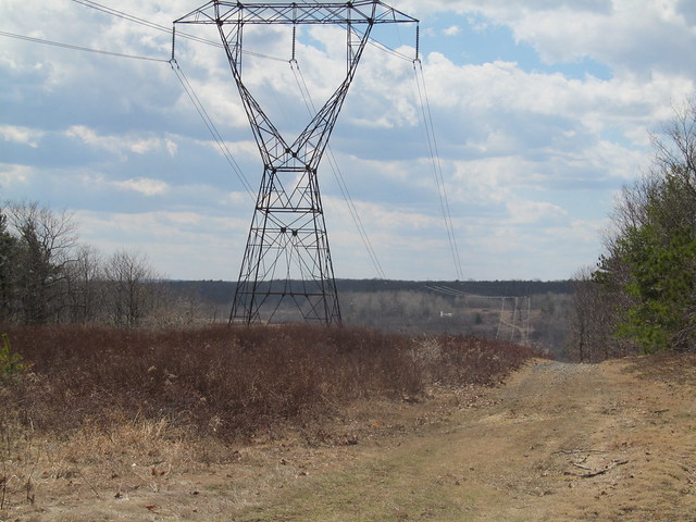
and west across a little valley to the next hill, with the flanks of one of the Catskills (Bearpen Mountain?) just barely visible through the trees at left. View west
I turned around and made my way back up the road into the preserve. Where the snow had melted, I could see just how poor the acidic soil up here is: only a few inches of erosion have exposed the bedrock. The rock here is a limestone pavement, and the Devonian stone to be found here is some of the most fossiliferous on the planet. I noted the odd brachiopod and crinoid without even stopping. Bedrock
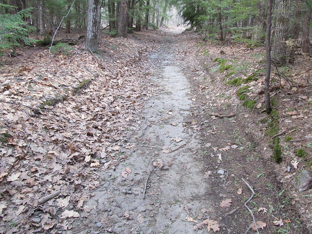
In the spots where the limestone dips or is beginning to form sinkholes, the water stands, and the ATV traffic has churned the trail into a lake of mud.
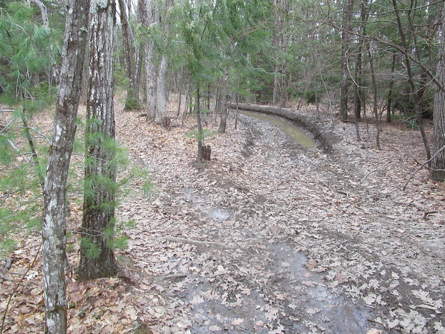
Mudhole!

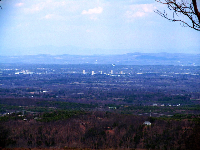
I followed the white and red trails around to where a strategically placed bench overlooks a fine view of Albany Overlook
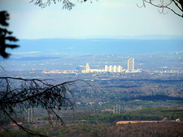
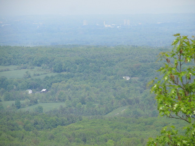
Overlook

I then walked a series of loops to pick up the routing of the other trails. I noticed at the end of the green trail that the maintainers have placed flagging in the woods, apparently marking a route up the hill to the east. I followed their flagging for a hundred yards or so, but recalled my promise to Mary Ann that I wouldn't bushwhack solo. I turned around and hiked back to the car. A nice afternoon stroll.

2015-04-25 Huyck Preserve - Hiking the Huyck
Trail marker

A week later, feeling more energetic, I went down to the Huyck Preserve, a considerably larger tract surrounding the village of Rensselaerville. Very close to the south entrance, the trail comes to a bridge,
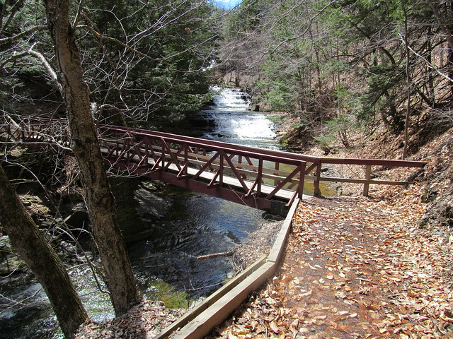
Bridge over Tenmile Creek
that offers a view of lovely Rensselaerville Falls.
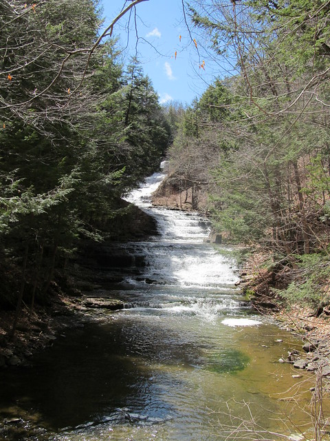
Rensselaerville Falls

On the far bank stands a ruin of what I presume to have been a mill, probably exploiting the falls for water power. I make a note to explore that further another time, and continue with recording my GPS tracks - I've some miles to make today if I'm to map the whole preserve!
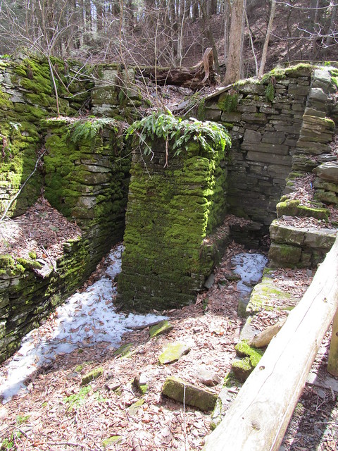
Ruined mill
Ruined mill
A side trail leaves the mill to the middle section of the falls.
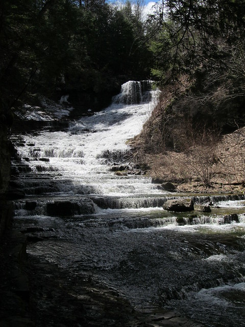
Rensselaerville Falls
The trail has patches of ice. I'm careful about my footing. Sliding into the gorge of the Tenmile Creek at the falls would not be pleasant!
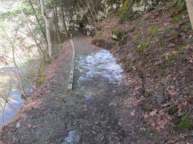
Ice on the trail

Backtracking to the ruin and heading up the hill puts me on the Falls Trail, which climbs moderately but steadily through a fine stand of hemlocks, most likely planted as a Great Depression reforestation project after the local farms failed.
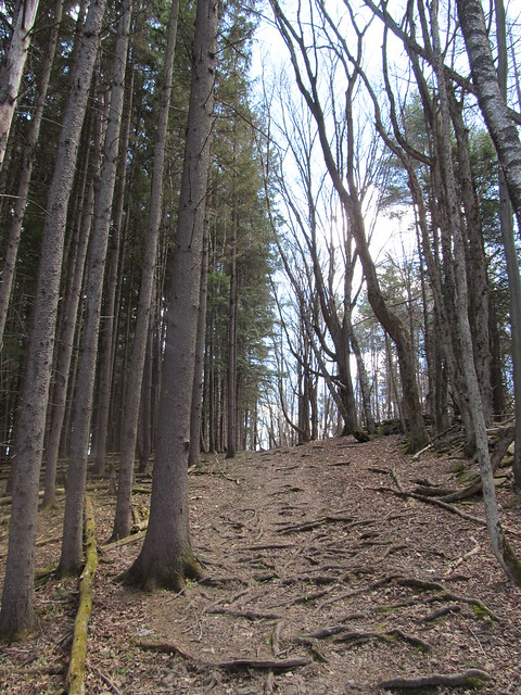
Trail up to Rensselaerville Falls
A handful of much older trees were probably beloved of the farmer.
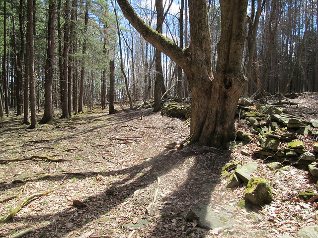
Trail up alongside Rensselaerville
      Falls

Once on top of the massif, the trail bends back to the river and recrosses on a wooden bridge that looks downstream over the lip of the falls.
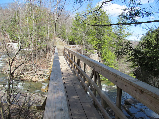
Bridge over Rensselaerville Falls
Lip of Rensselaer Falls
A stairway down from the far side goes to the edge of the falls at the top, another spectacular overlook. Beyond the falls, the "snow cone" of frozen mist is still apparent, even in late April.

Plaque at the overlook
Rensselaerville Falls

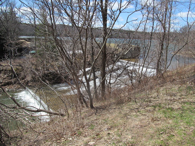
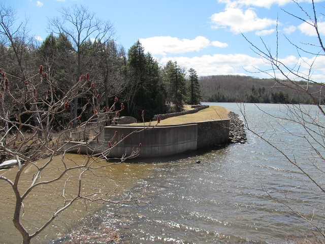
The trail then goes up the east bank of Tenmile Creek along the spillways of Myosotis Dam, arriving at lovely Myosotis Lake.
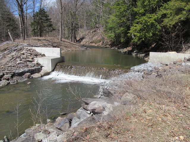
Lower spillway of Myosotis Dam
Myosotis Dam
Myosotis Dam

It passes the picnic area, swimming beach and boathouse, the Jessie Huyck building, and the Ordway house (which now serves as part of the preserve's conference facilities.
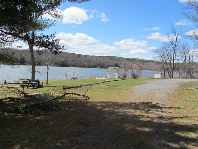
Huyck Preserve swimming beach
Ordway House

From here I proceeded up on the Ordway Trail, around the Race Track, and onto the Partridge Path. From time to time, I passed some ruins, including some wreckage whose purpose was ... uncertain. (It's too wide to be a trailer, but seems to have been made of parts of several. I've no idea what it was for.)
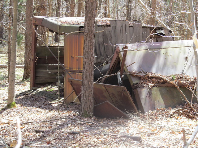
Wreckage

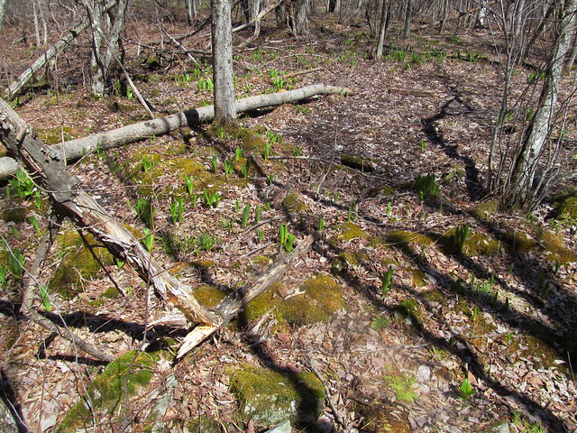
There are no wild flowers yet, but the corn lilies ( Clintonia borealis ) are starting to emerge. Corn lilies, clubmosses, and moss
Farther up, the first loop of the path brushes the edge of the preserve. Someone has managed to cling to his farm, and there's a hayfield right over the wall. Pasture
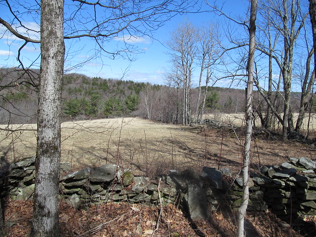
With the leaves off the trees, there's also a view down into the marshes, with County Road 6 beyond. The water is high from snowmelt.
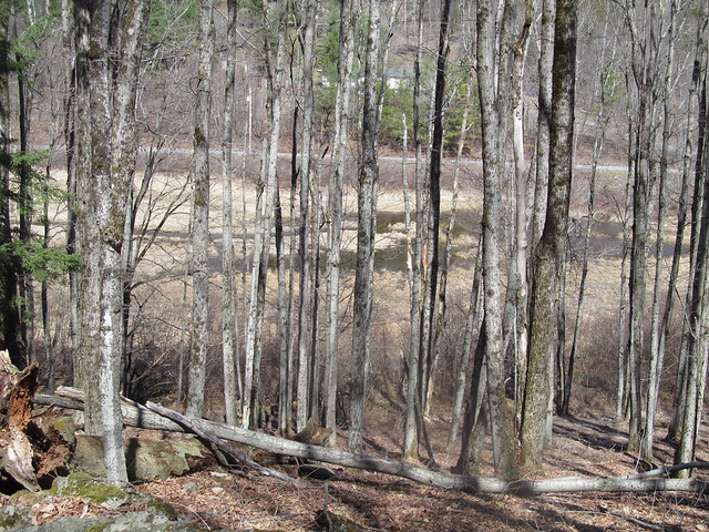
Beaver swamp

The trail recrosses the Tenmile Creek on a bridge, and follows an unnamed tributary upstream toward Wolf Hill.
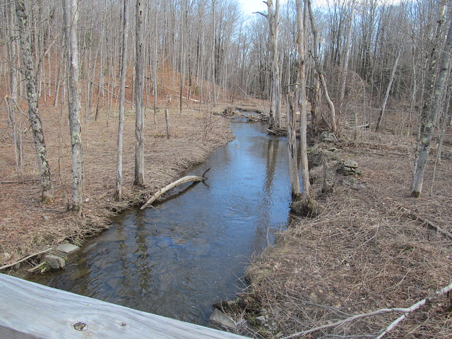
Tenmile Creek
Tenmile Creek
Tenmile Creek

When it reaches the Schoharie power line, there's a view toward the Taconics. Wolf Hill, which I explored the previous week, is visible in the nearer distance.
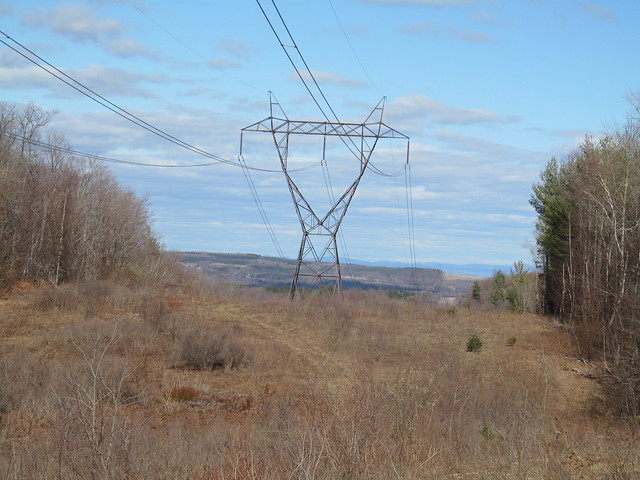
Power line cut

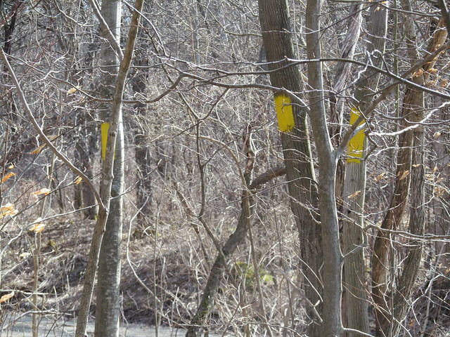
At the north end of the preserve, yellow survey blazes mark the boundary of the Partridge Run state forest. Survey blazes
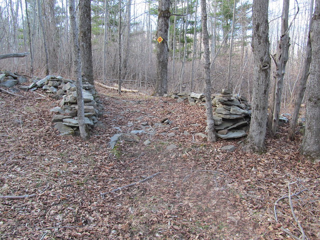
I signed the Wood Road register, and continued around to finish the other side of the loops. On the way, I passed a gate in an ancient stone wall. Some mason took pride in his trade. A wagon would still have a smooth ride on the pavement today. Old gate
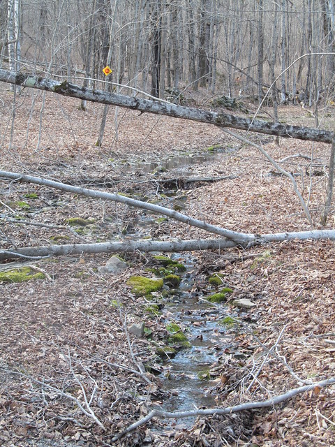
This early in the Spring, the less developed parts of the trail were still sometimes running with water and full of blowdown. I tossed aside what I could of the lighter brush. Some of the heavy stuff will just have to await a chainsawyer. Washed-out trail
I followed the Wheeler-Watson trail out, which goes by the Lincoln Pond dam and the adjoining cottage, another part of the preserve's facilities, used to house visiting scientists. While there's a trail around Lincoln Pond, and another connector across the north end of the lake, I decided to bypass them. The day was starting to get late, and I still had a few miles back to the car.
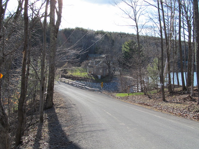
Lincoln Pond Cottage

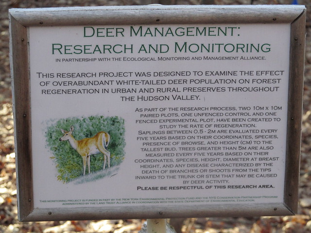
I signed the trailhead register across from the cottage (I don't pass a register without signing in!) and followed the trail on the west side of Lake Myosotis past someone's experiment. The preserve is an active biological research station.
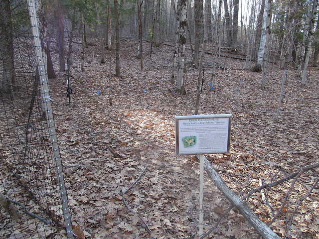
Experimental plot
Experimental plot

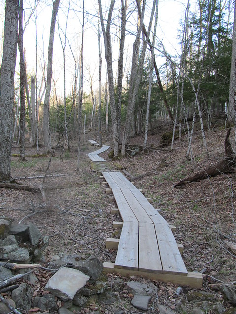
The wet spots are handled nicely by fine new bog bridging of dimensioned lumber. Bog bridging
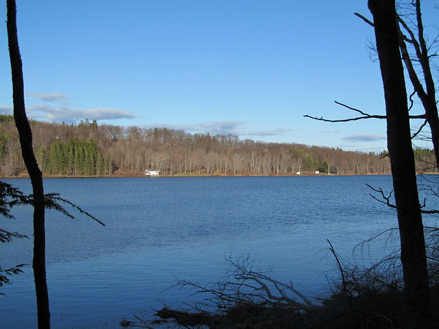
The Jessie Huyck center, the boathouse and the swimming beach stretch out along the far shore. Myosotis Lake
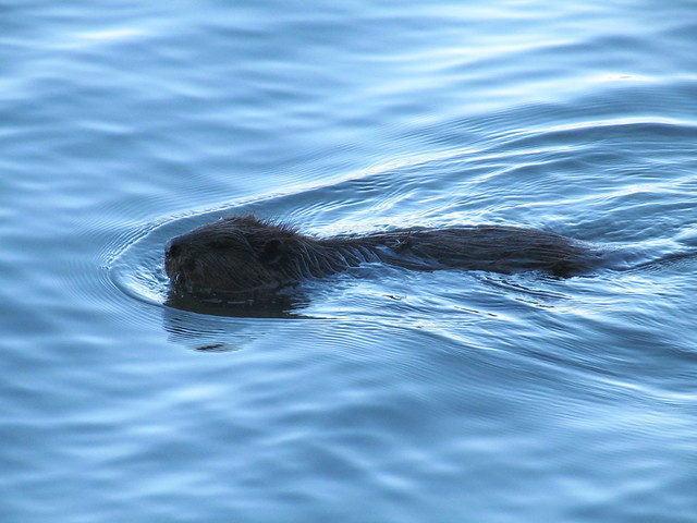
On the way, I was surprised to see a beaver working away. The beaver was too busy to notice me, and let me photograph for a few minutes, so I came away with a couple of, you should excuse the expression, wet beaver shots.
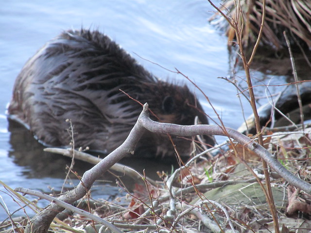
Castor canadensis
Castor canadensis

A little farther down the lake stands the ruin of another farmstead. Ruined farmhouse
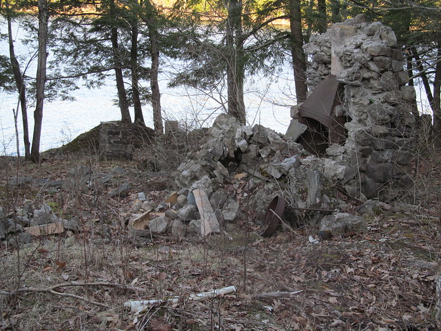
I rapidly made my way back to the car, and arrived with a good half-hour of daylight, having put in roughly a 12-mile day on easy trails.

2015-05-16 Bennett Hill, and return to the Huyck
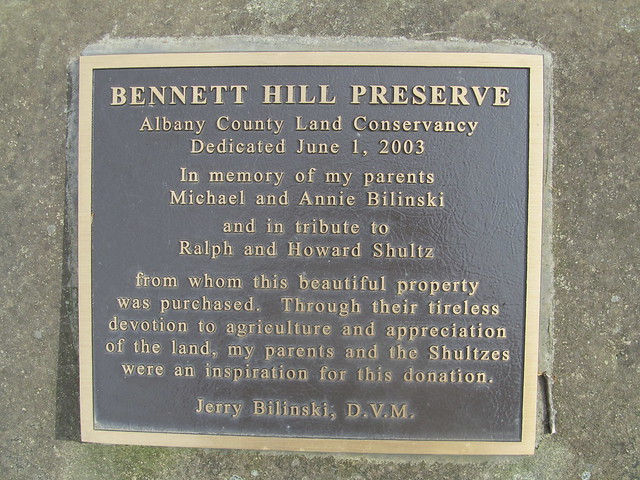
Bennett Hill Preserve

I felt as if I had to get out again today, even though the weather looked dodgy, so mapping another one of the little preserves seemed a good idea. I could always cut things short, or if the weather held, go back and do the unfinished trails at the Huyck or start mapping another one. I chose Bennett Hill, another one of the newer (1998) preserves in the Helderbergs. Like all the Helderberg hills, this one has a lot of interesting geology. Those who are interested in the complexities can find a lengthy discussion elsewhere. Suffice it to say that springs, sinkholes, and fossils are among the karst features in abundance. In fact, the entrance to the preserve is right near a cluster of four sinkholes, only one of which appears to be active (with a stream running into it that originates at a spring farther up).

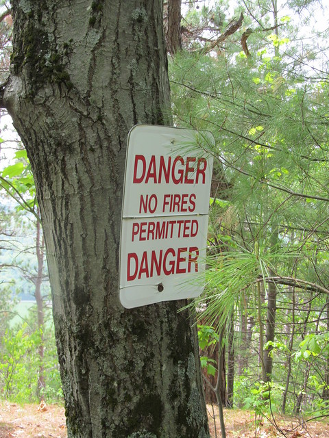
On the way in, I got a reminder that the last few weeks have been bone dry, even though we started with a good snowpack. This has been a bad fire year. Fire danger
The entrance trail overlooks a dairy, with fairly good views beyond when the trees are not fully leafed out. Its nicely benched into the side of a hill, and follows a contour line for about a quarter mile before it ascends steeply about 200 feet up a couple of switchbacks.
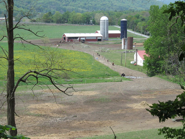
Dairy

Near the top of the climb, I caught sight of a strange object in the woods. "What's that bathtub doing there?" I said to myself. It turns out that the preserve builders, or perhaps the former landowners, thought it would be amusing to have a piped spring feed a bathtub faucet, so they set one up that way. I didn't sample the water, knowing that it will most likely taste as if it will rust your teeth!
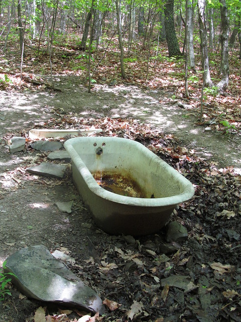
Bathtub spring

Right at the top of the last switchback, a hiker can rest for a moment. There's a tree with bent branches that's perfect for sitting on.
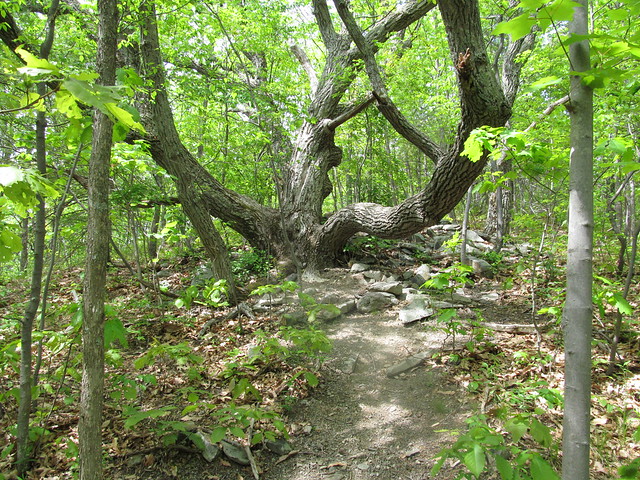
Nice sitting tree

I made a complete loop of the hilltop on the yellow trail. Over on the east side of it, there's a cairn just built on a straight and level bit of trail, with no turnoffs, good blazes, and good visibility. I have absolutely no clue why anyone would have gone to the trouble of building one right there.
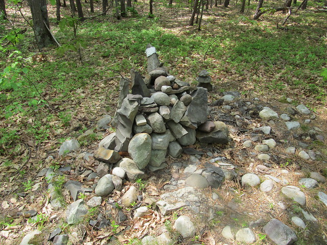
Cairn

On the north side, there's a nice overlook with a view toward Albany and the Green Mountains. The view left a little to be desired on such a hazy day.
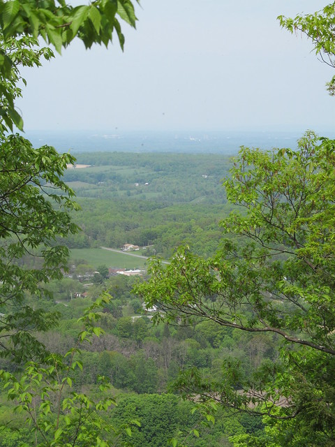
Approaching the Bennett Hil
      overlook
Albany

I finished the loop one-and-a-half times around the yellow trail, and descended the hill on the steeper and less well-maintained red trail. There's a lot of loose soil on steep slopes on the red trail; I suspect it may be headed for an erosion problem if the maintainers aren't careful. On the way out, I heard a strange sound. "What is that?" I said to myself. "It's not a motorcycle revving..."

The farmer had let the cows into the nearby field. I was hearing them arguing over the haystack. "MOO!". My, the sound carried.
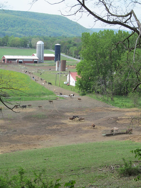
Dairy

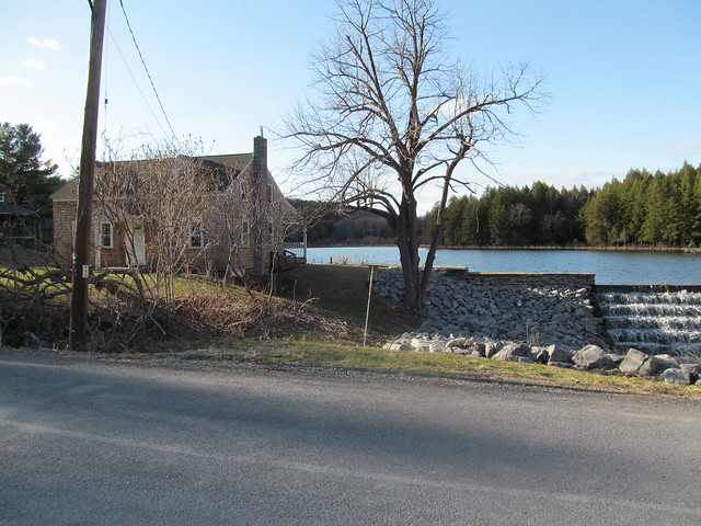
This bit of mapping had taken me only a couple of hours, and the weather still looked as if it would hold off for a bit, so I headed back to the Huyck Preserve to map the bits I'd missed. I parked up by the Lincoln Pond dam this time, and started hiking around the pond (after some delays, such as replacing the lens that fell out of my spectacles). The pond with its dam is a pretty sight, and vegetation and driftwood made interesting reflections in the water.
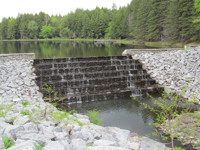
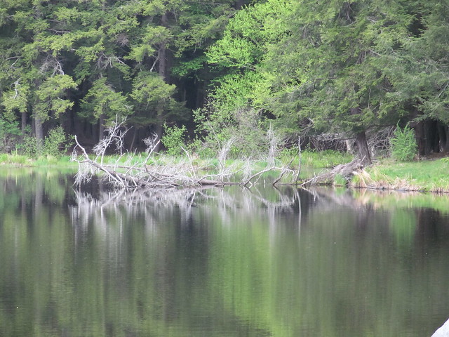
Lincoln (Hicks) Pond

My beaver friend from a few weeks ago wasn't working while I was there, but I saw that he or one of his colleagues had been about.
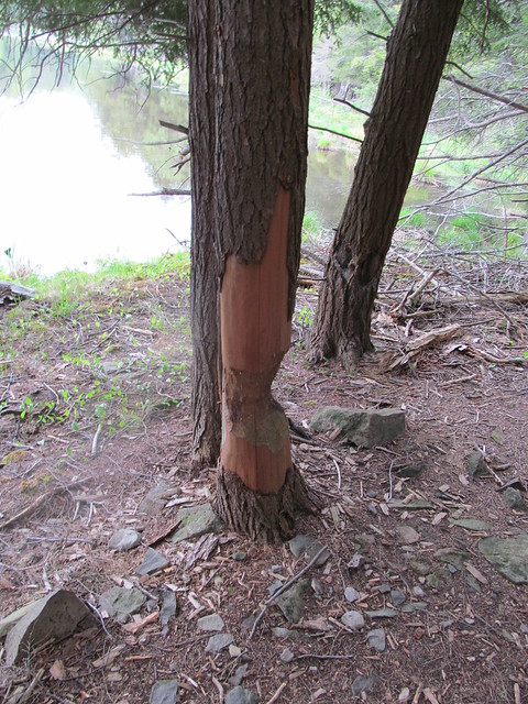
Beaver damage

After going around the smaller pond, I walked around Myosotis Lake to map the connecting trails that I also had missed on the last visit. I found I didn't have to turn back at the dead end at the dam spillway, because the spillway was completely dry. I jumped down into the concrete gully, walked across and scrambled the other side. I grabbed a panorama of the lake from the center of the dam. Click the image for video.
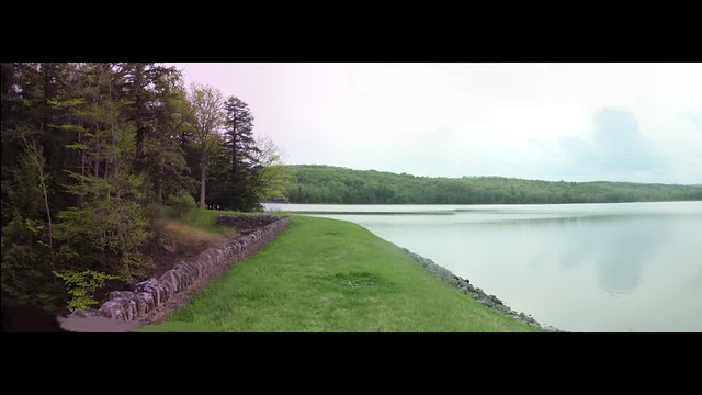
Myosotis Lake I went back to my car up the east shore, getting the crossover to the north of the lake, and got back just as it was starting to rain.

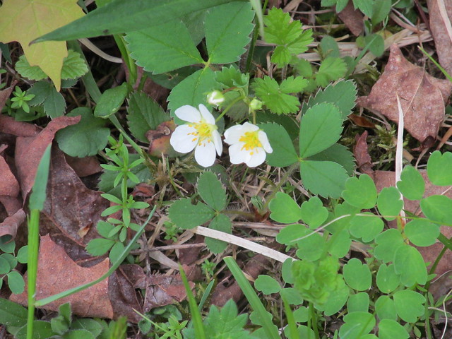
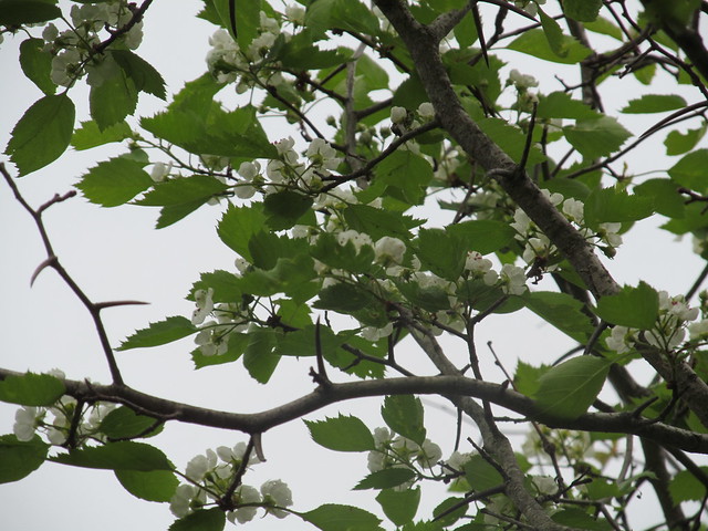
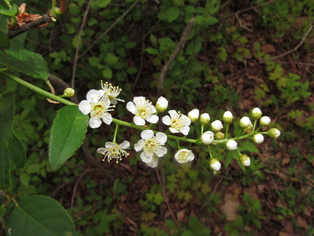
The day had wildflowers in abundance, while just two weeks earlier there had been none at all. Among the ones I spotted were Geranium maculatum, which gardeners call a 'false geranium.' The 'true geranium' to a gardener, to a botanist isn't a geranium at all, but in genus Pelargonium. Go figure. I also saw wild strawberry, violets, and apple and black cherry in bloom. It was a pretty day.
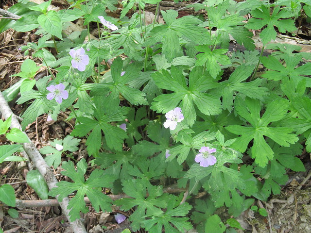
Geranium maculatum
Wild strawberry
Apple in an abandoned orchard
Black cherry in an abandoned
      orchard


Read more...