Showing posts with label hiking. Show all posts

Monday, November 16, 2020

2020-11-14 Delhi trails

Today, Cathy and I went hiking on the trails near Delaware Academy in Delhi (pronounced DELL-high), New York.

Kevin and Cathy

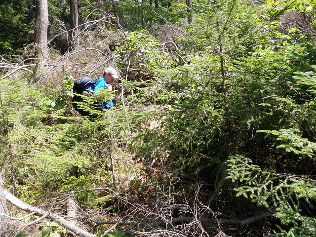
The original plan had been to hike Mount Sherrill, a trailless peak in the Catskills reported to be fairly moderate as Catskill bushwhacks go. (Which is to say, a hard-core hike! Catskill bushwhacks are never easy!)

I spend way too much time yesterday worrying and re-re-doing the trip plan; somehow this one had me anxious. Cathy reported that she was uneasy, too, and neither of us knew why!

But the morning went fine right up to when I started loading the car. I couldn't find my trekking poles - which I knew I had less than a week ago, and I don't think I'd had the car out since. I checked the back seat of the car. I checked under all the seats. I checked the garage. I checked the corner by the door where I sometimes lean them. I checked my backpack, and under my backpack. I checked the gear shelf. I checked all the places multiple times. Nothing doing!

With my knees, I can't hike without poles, and eventually, I said, “There's no help for it. They're gone. We'll stop by EMS on the way out and get another pair.” We headed out, with me still berating myself, and got to the outfitter, which of course wouldn't open until 10 AM. Add 1.5-2 hours to get down to the mountain, and that's way too late a start when daylight is as short as it is.

We went back to my house to make other plans. I suggested that we might want to start on the CMC Hiking Trails Challenge a patch program for a set of relatively easy trails. (Not to be confused with their 350-mile All Trails Hiking Challenge which is for mountain goats only!

We got back, printed a couple of copies of the map and set off for Delhi to do the first set of trails - the set near the Delaware Academy. The weather started to look considerably worse than forecast: we got some spatters of rain and even a few flurries of snow, and decided that we were glad we weren't going to be at significant elevation.

As Cathy put it, “This is Someone Up There telling us, ‘all right, you both ignored the bad feelings that I gave you about this trip? Fine, I'll send a clearer message!’ ”

The trip wasn't terribly difficult, but it was strenuous. The trails up the hills had only piddly 600-foot (200 m) elevation gains, but because we were trying to do them all, we were doing several of them out-and-back and probably had a couple of thousand feet of elevation (600 m) gained as we hiked 7.5 miles (12 km) to map about 5 miles (8 km) of trail.

The area has charming names for trails and viewpoints, taken from the children's book My Side of the Mountain by Jean Craighead George.

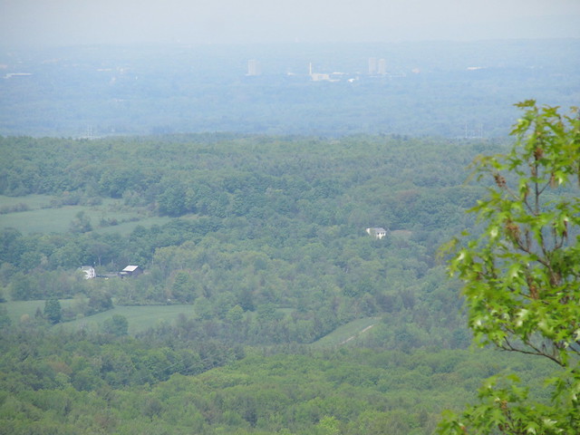
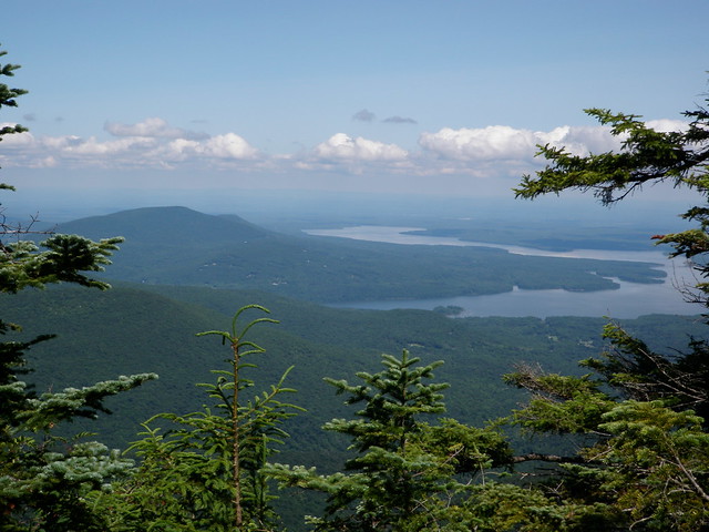
With the leaves off the trees, there were a couple of pretty views. The village of Delhi is charming from above!

Delhi, NY as seen from the Gribley Trail above Delaware Academy

More fun than Sherrill would have been trying to hurry and in marginal weather, so the change of plans was a good call!


Read more...

Wednesday, November 4, 2020

2020-11-03 The Erie Canal in Niskayuna

I've been curious for a while now about the old right-of-way of the Erie Canal along the Mohawk River in Niskayuna, and I've finally managed to explore some of it.

Most of my curiosity came from the fact that when I joined the project, someone had already drawn on OpenStreetMap a trail that followed the canal right-of-way from Aqueduct Road near the traffic circle nearly to the Schenectady city line.

Within the maintained area of Aqueduct Park, the trail pretty much follows the canal tow path, and you can see a very wet area to the southe where the canal has been filled in. There's then a rather less manicured trail that follows a natural gas pipeline (and old trolley right-of-way) up to the Mohawk-Hudson Bike/Hike Trail (Empire State Trail, Erie Canalway).

West of there, the canal right-of-way was obviously impassable. There were, however, numerous unmarked trails that headed north and west from the gas pipeline. I'd only been in there once before, and turned back because the nettles, raspberries, and poison-ivy were just too dense for my liking. Now that we've had a hard frost, I wanted to explore. Part of the area is state land, and while the tax rolls show another part as privately owned, I saw no posters, so had few reservations about bashing off down the herd paths.

Because the days are getting short, and walking there and back again from home is 10 km already, I kept the walks in that area fairly short. What I found was that there's a loop around the beaver pond near the bike path, and another, longer loop consisting of a path in the ditch and another on the south towpath. The flooded section is relatively short, and looks either to be intermittent or the result of beaver activity. Crossing it would still involve wading, so I scrambled the bank of the ditch and found a short beaten path through open woods to the gas line at that end.

There is also a well-defined unmarked trail connecting the west side of the beaver pond down to the trail on the towpath and the one in the canal bed. A very short section of that is flooded, with a well-beaten workaround.

There may be a connection with the National Grid maintenance track under the power line at the west end of the section that I explored. There's more state land to the west, so it's possible that the network goes a little farther. (There's a puzzling area on aerials - it looks as if there's a large clearing with a service building and no road access. No idea what's going on there!)

Anyway, I uploaded a rough draft of the paths that I found and some of the soggy spots that they skirted. That was the mapping activity for this couple of days.

One remaining puzzle: The pond by the bike path is full year-round. The stream under the bridge bu the power line runs continuously. But in a dry season, there's no water flowing across the trails, and no bridges or culverts that I could see. Where does the water go?


Read more...

2020-11-02 Beginning a new chapter

Today was my first day of not reporting to work at my former employer. I'm now a full-time self-funded open-source developer (that is to say, a retiree). This post is possibly the first of a series chronicling my adventures in retirement.

Many friends and colleagues have asked me, “so, what are your plans?”

I can't say that I have firm plans for anything at this point. The year 2020 has been a striking example of, “do you want to make the Almighty laugh? Tell Him your plans." My immediate plan is to try to rest up and decompress a little bit.

Frankly, I've never in my life been so without structure. I've pretty much never had a vacation longer than a week or two without an externally-imposed schedule. Even as a child, I had my parents filling, and overfilling, my “free&rdquo time with “enrichment activities”. Mary Ann and I would up doing a lot of the same with our daughter - although trying to keep her on a looser leash than the one I had - which tended to fill our time as well as hers. “Where do I go from here?” is going to taks some soul-searching. Still, I can drop some random thoughts.

I'd really like to do more hiking. I'd been putting on weight the past few years with enforced inactivity. Having the doctors work repeatedly on my eyes and feet, with activity restrictions on the rehab, has been confining. I've been doing a lot more walking in town since COVID-19 hit - it's one of the few things I can do outside the house, and working up the distance again to where I'm regularly doing 10 km a day (without a pack, of course, or with a very light day pack.) Catherine and I have also made a few trips again into the Catskills, most of which I've yet to write about. (Slovenly of me!)

In fact, if COVID-19 is ever not a blocker for crossing county and state lines, resupplying, or sharing a campsite, I'd like to try another big hike. My thru-hike of the Northville-Placid Trail turned into a series of sections, because of illnesses and injuries. Unlike a traditional 'thru hiker,' I couldn't just rest a few days after a problem and pick it up again - I'd need to go back to work! I've kind of an itch to do the Long Path of New York - the idea of hiking from Manhattan to the Adirondacks just intrigues me. (Yes, I know, the trail is built only to Altamont. There's a description of the route beyond there: who needs a maintained trail? I'm an experienced bush-whacko.) Given the current state of the world, I'm pretty sure that isn't going to happen in 2021. 2022, maybe, if all goes well.

I also have several unfinished open-source projects.

The biggest one of these, by far, is the “quadcode” system: a machine-code compiler for the Tcl programming language. Tcl is a highly dynamic language whose core paradigm is string substitution. Extracting data type information and constraining side effects to the point that safe machine code can be generated is an insanely difficult problem. Donal Fellows and I have had some limited success, but making the beast into something that's serviceable, that's deployable, and that covers much more of the language is going to be a long slog.

The next phase here will likely involve some major refactoring, and will require some really intense brain work - something that's not compatible with my goal of getting some rest after my final sprint on the job. It'll likely be a little while before I start picking up the pieces - but watch this space!

Another big unfinished project is to make a rendering pipeline for OpenStreetMap that deals in a graceful way with North American highway numbering systems. Identifying named and numbered routes with pictorial symbols on the map is a big part of it. Many North American jurisdictions have three or four different numbering schemata overlaid, so the shape of the marker is important to a driver trying to follow a route. Moreover, unlike the way most of the rest of the world does it, routes are often concurrent - it's not uncommon for a road over a bridge to have three or four different highway numbers. There's one pathological example near Indianapolis that has eight! This sort of overlaying has caused rendering gaffes, and a better approach than the current one is needed.

Again, I've had some limited success making a map that handles numbered routes in more or less the way I like, but now comes the long slog to make the implementation scalable (e.g., dealing with minutely diffs on a planetary scale; managing the expiration of tiles so that the whole map need not be pre-rendered), fortify it to be robust against future change, make it fit more closely with the rendering tools used by other OpenStreetMap servers, and find a path to widespread deployment (rather than just serving to a few friends off my home machine).

I've also been neglecting my music. I might have time in retirement to take it up again, particularly if conditions in the world improve to where people can perform again. I've been doing just a little bit - including playing recorder for a televised church service this past weekend. (The offertory , starting at 31:14, has a solo by Yours Truly.)

What else? Well, I've got a long history of going off-script. I may find myself itching to contribute to open-source machine vision, or get back into making stuff (particularly electronics), or just try something entirely new.

Or the perfect consulting gig might just fall in my lap. You never know. I'll just have to see what happens. Wish me luck!


Read more...

Monday, January 1, 2018

Eighth Leave No Trace principle - consider impact of social media

Yesterday I stumbled on a posting in Paul Magnanti's blog that pointed to a longer, well-written article in TrailGroove Magazine about the possibility of adding an eighth principle to the Leave No Trace guidelines:
Use discretion when posting on social media and consider the potential impacts of creating a ‘buzz’ about specific destinations
I surely understand the concerns of hikers regarding the impact of social media! In the Catskills, where I hike most often, I've seen the Blue Hole nearly ruined (NYT- link may be paywalled) after the 'buzz' hit the Internet that it was a gorgeous swimming hole in the middle of nowhere, close to a road. I've been on a work party trying to clean the place up and get ahead of the hordes who were fouling it, and I wholeheartedly approved of the emergency regulations that DEC had to issue, while bemoaning their necessity. It appears that Blue Hole will hence forth be just another 'frontcountry' site.

I've also seen the way that social media can bring in bad behaviour. Some trails in the Catskills are now plagued with groups of hikers who joined together on Meetup, and never had a mentor to teach them how to operate in the wilderness. They are typically young, and have tremendous athletic prowess coupled with abysmal ignorance. Most frustrating, they seem to be nearly unreachable - they think that their ability to get up and down a mountain in jig time makes them the experts, and even friendly warnings that some of their behaviours (postholing, traveling in too-large groups, failing to bury excrement) risk tickets go unheard. They make it clear that they consider me to be unconscionably rude because I don't go as fast in my sixties as I did in my teens and twenties, and can't always even get out of the way before they want to push past me. 

Believe me, I know what can happen when the knowledge about a place goes viral. So I agree in principle with what Mark Wetherington and other on the https://8thlnt.wordpress.com/ are promoting.

Still, I wonder where to draw the line - and in my experience, LNT advocates can be quite "zero tolerance" about their lines in the sand. As Paul correctly points out, "don't post - keep it all secret" is not workable. The more impacted "wild" areas are our recruiting office - they're the place where new wilderness advocates get made. If we don't share, if we don't invite, if we don't promote, then wilderness will not be in the public consciousness at all. Worse, when it arises at all, it will be as a Waste of the Taxpayer's Money, not as something they can relate to. Getting interested people Out There is how we maintain pubic awareness.

For that reason, I'm willing to consider some of the popular trails and sites to be sacrificial. People don't immediately step out of the city with both a love for the wilderness and the knowledge of how best to protect it. They need a place to learn to love it, and a place to learn how to love it. If those places come close to being "loved to death", it's probably worth it.

It's probably time for an agonizing appraisal of my social media practices, though.

Review:  I do indeed maintain this blog, and many of my hikes get documented here. 

I also maintained a trail journal, the season that I hiked the Northville-Placid Trail. I happen to think that as the granddaddy of long-distance trails in the US, it deserves to be better known. But perhaps I'm wrong! Paul's advice to leave the obscure to obscurity resonates. Still, it seems to me that particular trail is more likely to languish from lack of attention than to collapse under overuse. The sheer remoteness (the 137-mile trail includes two 40-mile roadless sections) deters many hikers; the few that go, for the most part, know what they're about. I don't think I can feel too guilty for writing about a long-established trail, particularly in telling it as it was - the dunking in a stream while the sky was spattering sleet, the collapse of a bog bridge, the sprained knee, the attack of bronchitis, the unremitting mud, all are in there along with the swim in a beautiful clear pond on the hottest day of the year, the astonishing blue of gentians, and the satisfaction of passing through the arch in Northville. Most of the people who've read my account and commented are non-hikers, who tell me that I'm crazy. Somehow, I don't think I'm suddenly going to draw in the hordes.

I post a fair number of pictures to my Flickr account, most of which are about hiking. The questionable thing about these, I suppose, is that most are geotagged - the photograph's metadata gives a map location. I find this useful for organizing them, and in fact, at least some of my panoramas are indexed and set up over here so that I can find a picture simply by clicking on a pushpin. How risky do the wiser heads than mine consider that practice?

Bringing in that map brings in another practice of mine. When I hike established trails, I usually have a GPS track logger running, and I tidy my tracks and integrate them with OpenStreetMap on a regular basis. Having them there also makes the trails show up on sites like CalTopo.com and Waymarked Trails. Since the USGS has really gone out of the business of producing detailed topo maps - at the very least, hiking trails are beyond its capability for the new USTopo series - it remains to citizen mappers to fill the gaps. The maintaining club for the Northville-Placid was glad enough that I did the mapping. since the current mileage table was largely derived from this work.

On the other hand, I ordinarily do not share tracks for off-trail outings - at least since I learnt that where I hike, the DEC asks informally that hikers refrain from doing so. I have in the past shared maps of the tracks as images, but now will do that only for some trips that carry a personal, special meaning, like the tragic family history associated with my climb of North Dome in the Catskills.

I do sometimes go into some detail about where I went to - at least to the extent of naming geographic features that have names. That said, as often as not it's to unrecommend a route - if you feel like following me up the back side of Balsam Cap, be my guest! You'll be swimming in vegetation all the way. I'm not going to climb that way again!
P7200316

The view from the top was still worth it. 
P7200337

Generally speaking, I incline toward openness. I'm terrible at keeping secrets. I think I'm likely to go right on mapping trails (and making the result totally free for others to build on), taking pictures (and geotagging them), writing about my experiences (if only to organize my own thoughts) and, of course hiking (even though the only way truly to leave no trace is not to go).

Those that know me know that I tend toward being scrupulous. I very seldom hike the same place twice, unless I'm leading others to a particularly nice spot. (Better that others should enjoy it without the burden of repeated impacts from me.) They will know that I don't enter permit lotteries - if my getting to enjoy a place will deprive others of that enjoyment, better that they should have it. I'm not a wonderful writer, artist, photographer, or naturalist; let it go to someone who has more to bring to the party. If that means that I never walk the more popular routes in Yosemite, see the more remote reaches of the Grand Canyon with my own eyes, or summit Katahdin, so be it. There are lots of wonderful places under less pressure.

I'm therefore no doubt overthinking this principle, the same way that I overthink everything else. But I'd love to hear what others think. "Digital Leave No Trace" is a new idea to me, and I'm cautious that I'm falling victim to the natural desire to justify one's own actions.


Read more...

Sunday, September 3, 2017

Trying to map a section of the Northern Excursion - not exactly successfully

Today, I went over to West Glenville to see if I could get GPS tracks of the one short section of the New York Long Path that is off-road there. I've never seen a map of that section, only the verbal description at the online softcopy guidebook. As we'll see, that description presents some issues. I'm writing this to share my experience; hopefully, the trail and guidebook maintainers will be able to enlighten me!

The trip started out all right. I parked across from the second Wolf Hollow Road turnoff at mile 4.10 of section 39. Note that the “Parking” section of the online book has a typo; it's 4.10 and not 3.10.

I found the point (mile 4.7) where the Long Path swings south into the farmer's field from West Glenville Road without trouble. The blaze at the turnoff is apparent, and there's a deeply rutted mowed line just past the hedgerow, leading right up to the road crossing at mile 4.9. The blazing there is also obvious in the northbound direction. There does not appear to be a southbound blaze at the driveway near the Cape Cod house. There is also a “For Sale” sign there - is the club aware that the property is about to change hands? Will the transaction affect the negotiated trail easement? The trailer on the north side of the road appears not to be there any more, but there is a relatively new house to the left of the trail.

The walk through the woods to mile 5.35 was pleasant. The trail is obvious and well-blazed, and the stone wall and hemlock grove appeared right on cue. At mile 5.35 the trail broke out into a hayfield as described and followed a mowed trail around the eastern edge. There is another typo in the online book here - it says to walk the northern edge of the field. It should say to walk the eastern edge.

The hedgerow and stone fence at mile 5.50 appeared on cue. At least, I presume that I have the correct hedgerow. My GPS coordinates for it are approximately 42.9240,-74.0820. This first hedgerow, though, is only about 0.1 mile from where the trail left the woods. Another hundred yards or so brought me to the corner of a second hayfield, at about 42.9247, -74.0822. This second corner is therefore about mile 5.50, which would match the guidebook description. Blazes were still visible.

At the northern end of this field, I became quite confused. The confusion between northern and eastern edges of fields was sorted out by observing the blazes, but I spent some time wandering in the woods around this corner, and saw no sign of blazing. Returning to the field - whether it was the first or second one described in the online guidebook is in some doubt - and following its northern edge to the west led me to another gap in a hedgerow, (roughly 42.9248,-72.0829). On the other side, further aqua blazes were visible, leading around the edge of a third hayfield, about 0.2 miles. The blazes are a fair distance apart, so I wound up also exploring a mown track at the southeast corner of the field. It led only to several hayricks, an overturned trailer and a considerable amount of rubbish, and no trail lay beyond.

Blazes were visible at intervals following the field edge for about another 0.2 miles to the northeast corner (about 42.9265,-74.0824). I passed several unblazed side trails coming off the east edge of the field. At least one had diagonal blazes instructing the hiker to continue following the field.

At the northeast corner, diagonal blazes instructed a turn to the west, Looking along the northern edge of the field, I saw nothing resembling a trail until a woods road turned to the northwest at about 42.9265,-74.0829. (This is perhaps mile 5.65 in the guidebook.) There were what appeared to be faint paint blazes on this road, instructing a turn on a left fork that soon appeared.

At this point, I lost the blazes entirely - neither fork had apparent markings. After exploring a short distance along the woods roads, I began to be intimidated by the frequent posters that appeared, and simply chose the road that appeared to head most directly for Touarena Road. This road led me to a driveway with a chain across it - and posters - at 42.9266,-74.0885. Not the Long Path! At no time had I come upon the stream crossing that was supposedly at mile 5.70.

The blazing in this area is clearly in need of work. I was not able to follow the guidebook directions northbound.

I then walked up Touarena Road to the correct gravel driveway (42.9291,-74.0875), which was very clearly blazed for the Long Path, and decided to see if I fared any better southbound. The gate is supposedly at mile 6.2. The “Parking” section shows it as mile 5.9 - this does not agree with the mileage table.

The trail leaves the driveway on a broad woods road at mile 6.15, with a conspicuous guidepost indicating it. It follows what is rather a maze of woods roads/ATV trails for about 0.5 miles, with all turns clearly blazed. Everything went along perfectly until I saw the last blaze at about 42.9266,-74.0811. This would be at about mile 5.7 in the guidebook if I am reckoning the mileage correctly. The blaze is near the corner of some stone walls, in a stand of hemlocks, near the poster line of Five Oaks Development.

At this point, the blazing abruptly ended. I walked a spiral pattern around the last blaze out to where I could no longer see it. No luck. I also continued some distance in roughly the same direction, and rapidly came to a property corner which was posted from all directions. Having no way to respect private property in that situation, I forged ahead a short distance farther, and saw mountain bike tracks in the dried mud at an intermittent stream. I followed the tracks across a larger stream, and up an improved but unmarked trail on its steep western bank, finding myself once again on the east edge of the hayfield, about 42.9261,-74.0823, at the head of an unmarked trail between two posters.

I spent a few minutes exploring the northern edge of the field, and the woods road that I had followed before, looking for any sign of a trail that would lead in the general direction of where I lost the blazing when moving southbound, and found nothing.

I uploaded to OpenStreetMap an edited version of the tracks that I followed, as far as I could see the blazes. The points where the blazes peter out, while not that far apart, don't even seem to be aimed for each other, as can be seeo on Waymarked Trails.

Suffice it to say that I'm puzzled.


Read more...

Tuesday, April 26, 2016

2016-04-24 Wolf Creek Falls

Wolf Creek Falls
On Sunday, April 24, I got the urge to get outside even more strongly than usual, and decided to go out for a stroll despite some warning twinges from the fasciitis in my foot. I headed over to the Wolf Creek Falls Preserve in the town of Knox, because it contains a short section of the New York Long Path, and its trails had not yet been placed on Open Street Map. (They're there now! Getting the little nature preserves in the Helderbergs mapped has been a pet project of mine, off and on.)

What with church choir and socializing afterwards, it was after three by the time I actually got out on the trails, and I spent about three hours walking around, making field notes, and taking careful compass sights down the many stone walls that crisscross the preserve. I was fairly pleased with the result on the map. As the data propagate, sites like CalTopo or Open Hiking Map will now show the preserve.

I managed to put in about five miles, getting GPS tracks for all of the trails at least once and most of them twice. Averaging these with the tracks on the Mohawk-Hudson Land Conservancy's site gives me with a layout that I feel fairly comfortable with. I may head back at some point to walk everything again in the opposite direction and have further data for averaging.

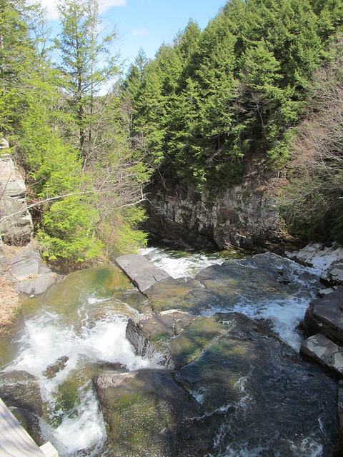
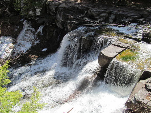
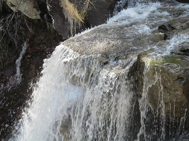
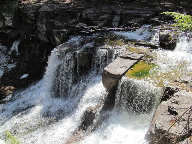
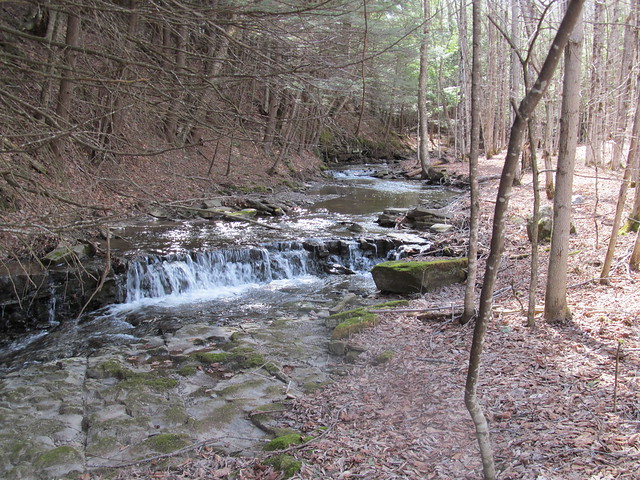
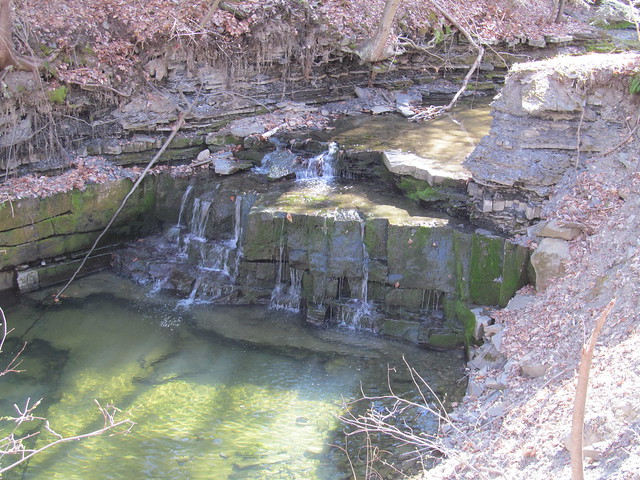
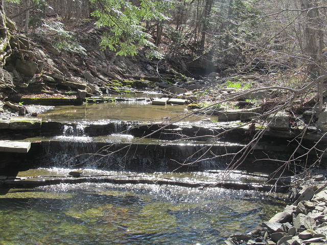
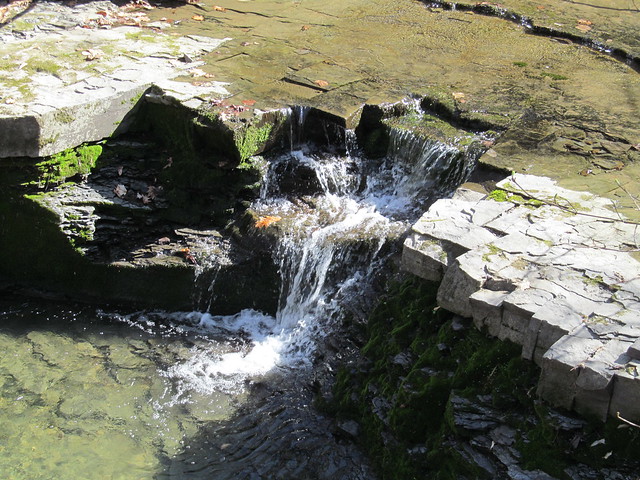
The Wolf Creek itself runs through the north half of the preserve. It is, for the most part, in a pretty little glen with many riffles and a couple of fairly substantial waterfalls.
Wolf Creek Wolf Creek Wolf Creek Falls

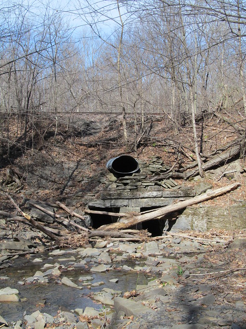
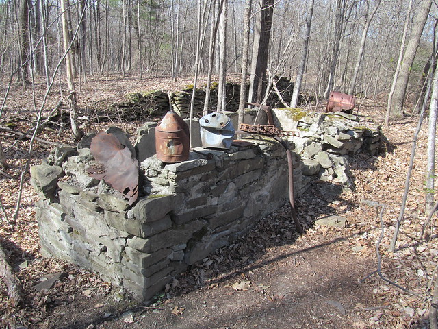
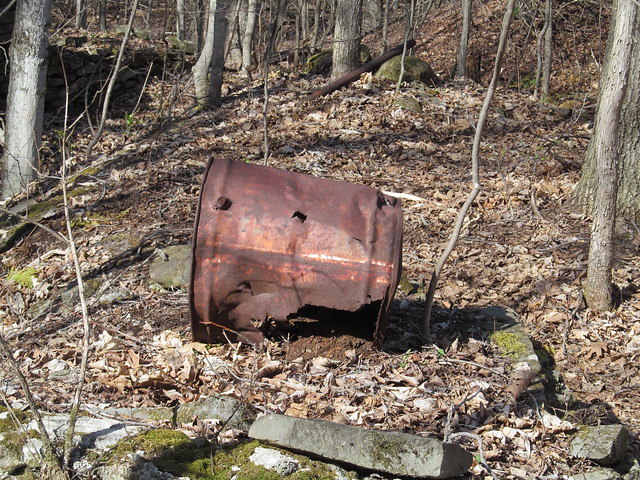
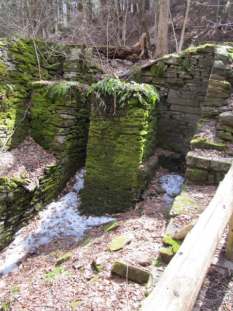
Where the creek leaves the preserve, it's considerably uglier, as the water flows under a strange railroad culvert. The reason for the odd construction is that the upper pipe once carried runoff from a gravel sorting and washing operation that used water from the upper reaches of the creek and had a freight siding for loading gravel. Nearby on the trail, there is a ruined foundation of part of the workings, and various bits of wreckage on display.
Railroad culvert Wreckage Wreckage

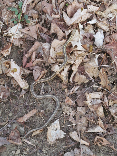
While walking the trails, I saw a garter snake, the first I've seen this spring.
Garter snake

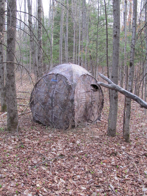
A blind that's just beyond the stone wall on the south side of the preserve shows that the neighbour must be a hunter.
Game hide

The property has an unusual number of stone walls crisscrossing it. The two long ones that run its entire width date back to the early 18th century, and mark the boundaries of great lots 791 and 792 of the huge feudal Rensselaerswijck estate. The Van Rensselaer family owned what today is the better part of four counties, and ruled it as lords of the manor right up to the Helderberg War (or Anti-Rent War) of 1866, which was fought on this very ground in the Town of Knox.

The remaining division into rectangular sections was made in the middle of the 19th century by a sheep farmer named Van Auken. He built the walls both to clear the fields and to divide up the pasturage into manageable chunks. The wool that he harvested went to the Huyck felting mill in Rensselaerville, whose ruins I visited on an earlier mapping trip.
Ruined mill

All in all, rather a frustrating day, although at least I got out. Five miles on easy trails, and at the end of it my foot was killing me! I'm obviously not in any shape to return to the high peaks yet. I do hope that this plantar fasciitis lets up soon, it's been months!


Read more...

Thursday, May 21, 2015

2015-05-16 Mapping Trips

2015-05-16 Mapping the Helderbergs

There's been too long a hiatus in blogging here, but I've been kind of busy. Still, I've recently had the opportunity to get in a little bit of walking (on easy trails: I won't dignify it with the term, 'hiking') and mapping for OpenStreetMap.

The last few mapping outing, I've been concentrating on the little nature preserves that are strung out like beads along the rim of the Helderberg Escarpment. Many of them are fairly new, since Albany County has been pursuing conservation easements and outright property transfers in recent years, to try to preserve the view as well as the unique environment of the Heldebergs.

2015-04-18 Wolf Hill

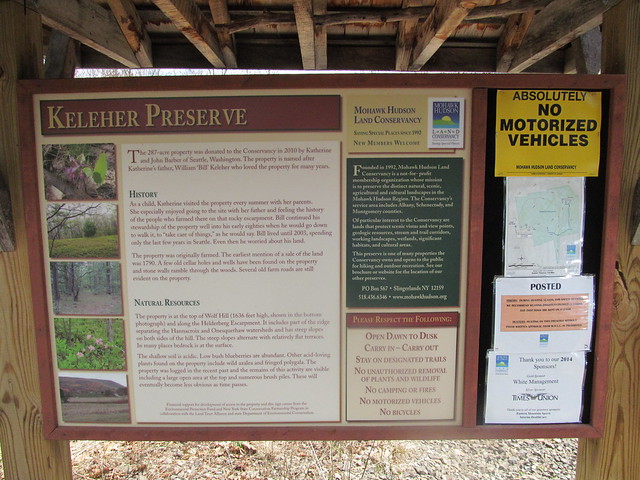
On 25 April, I did the first of these mapping expeditions this spring, starting with the Keleher Preserve atop Wolf Hill. This is a smallish (447 acre) plot, with a few miles of moderate trail. Like all of the Helderberg preserves, people tried to farm this land once upon a time, despite the shallow and poor soil. There is ample evidence of ruins. The land was in private hands until two parcels were conveyed to the Mohawk Hudson Land Conservancy in 2010 and 2014.
Kisosk

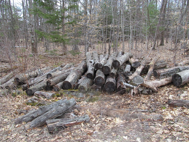
I hiked in past evidence of recent logging,
Cordwood

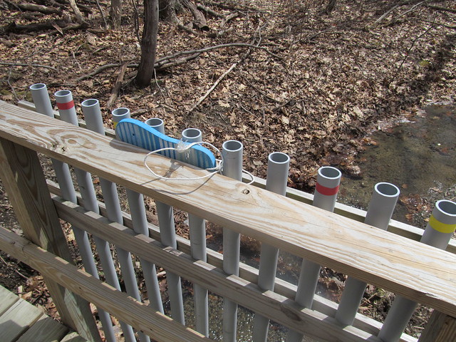
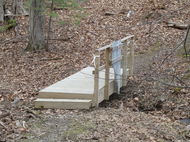
I quickly came to an interesting conceit that I've now seen in several of the preserves: a bridge fitted with lengths of PVC pipe tuned like organ pipes. You play it by beating on the tops of the pipe with flipflops that are tied to the bridge. I tapped a couple of bars of a Mozart melody and continued, smiling inwardly, but still more pleased with the babble of the brook.
Bridge
Organ bridge

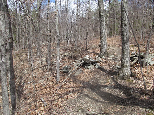
The trail steadily ascends the hill, past a number of stone walls that once bordered fields and pastures.
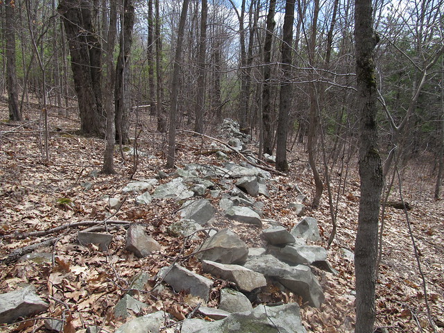
Old stone walls
Old stone walls

I thought that I'd follow the abandoned Wolf Hill Road to the south end of the preserve, where there are reported to be some nice views. Because of the road's being unblazed, and my unfamiliarity with the preserve, I turned off too soon, down an abandoned logging road. I lost the road a couple of times, but each time I found it again and followed it south - inadvertently straying off the preserve to the best views I had all day. Just southwest of the preserve, the whole area has been recently clearcut and has a sweeping view, where the distant horizon shows the Blackhead Range, Windham High Peak, and the ridge ascending to Huntersfield Mountain.
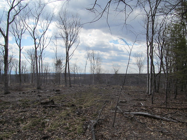
Clearcut
Huntersfield ridge

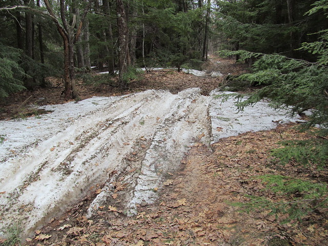
When I arrived at the clearcut, I knew I'd gone astray, and made my way up the ridge to the correct road - which was, of course, perfectly obvious, The road was still blocked in spots by drifts of patchy wet snow, much churned by ATV's. Snow on the trail
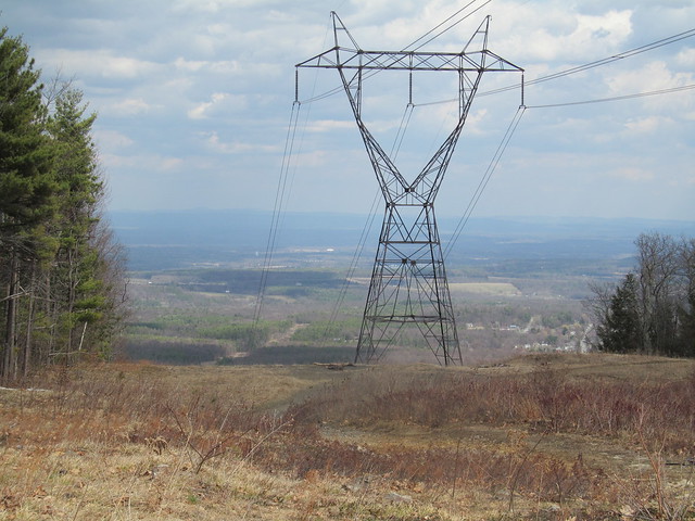
I soon reached the powerline cut that forms the preserve's southernmost extreme, and it did indeed offer views, both east toward the Hudson Valley and the Taconic Mountains beyond: View east
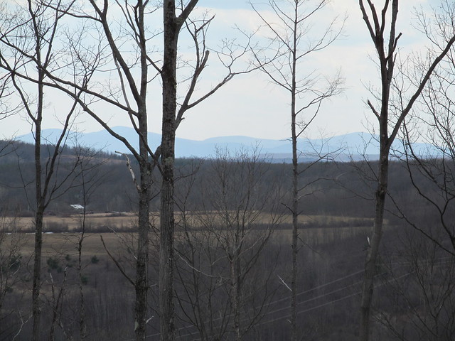
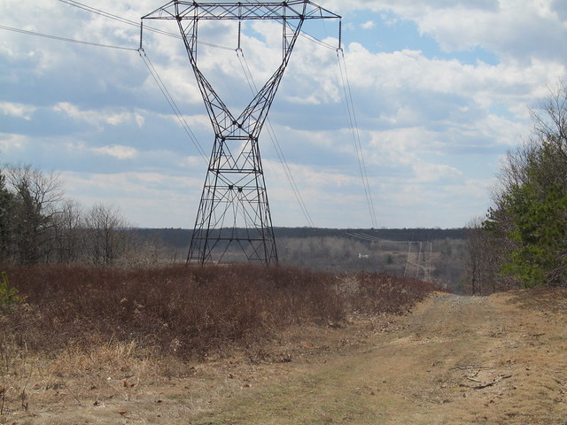
and west across a little valley to the next hill, with the flanks of one of the Catskills (Bearpen Mountain?) just barely visible through the trees at left. View west
I turned around and made my way back up the road into the preserve. Where the snow had melted, I could see just how poor the acidic soil up here is: only a few inches of erosion have exposed the bedrock. The rock here is a limestone pavement, and the Devonian stone to be found here is some of the most fossiliferous on the planet. I noted the odd brachiopod and crinoid without even stopping. Bedrock
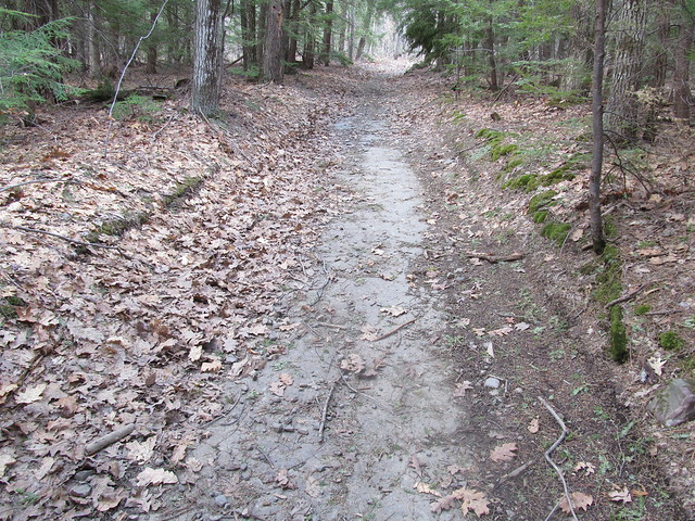
In the spots where the limestone dips or is beginning to form sinkholes, the water stands, and the ATV traffic has churned the trail into a lake of mud.
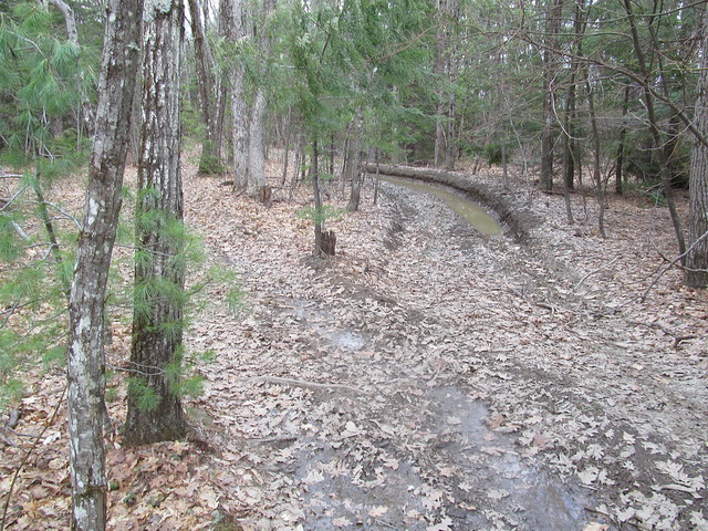
Mudhole!

I followed the white and red trails around to where a strategically placed bench overlooks a fine view of Albany Overlook
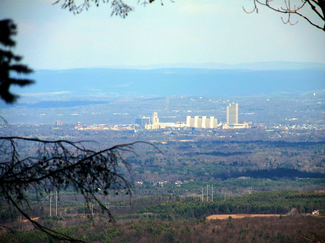
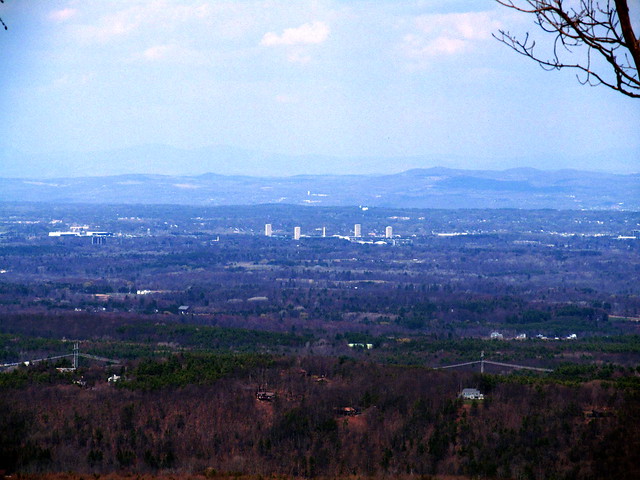
Overlook

I then walked a series of loops to pick up the routing of the other trails. I noticed at the end of the green trail that the maintainers have placed flagging in the woods, apparently marking a route up the hill to the east. I followed their flagging for a hundred yards or so, but recalled my promise to Mary Ann that I wouldn't bushwhack solo. I turned around and hiked back to the car. A nice afternoon stroll.

2015-04-25 Huyck Preserve - Hiking the Huyck
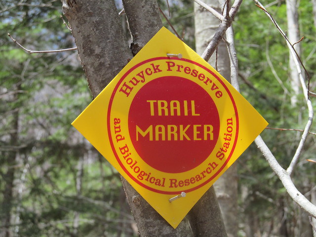
Trail marker

A week later, feeling more energetic, I went down to the Huyck Preserve, a considerably larger tract surrounding the village of Rensselaerville. Very close to the south entrance, the trail comes to a bridge,
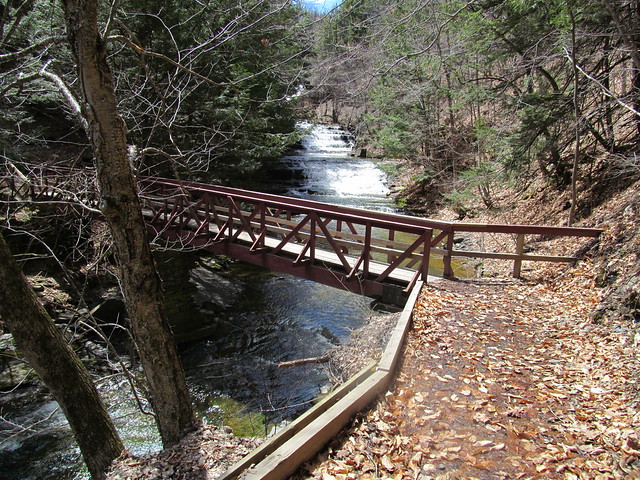
Bridge over Tenmile Creek
that offers a view of lovely Rensselaerville Falls.
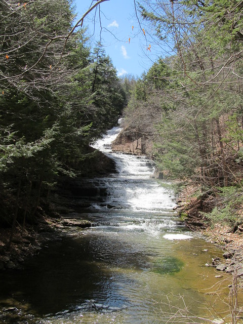
Rensselaerville Falls

On the far bank stands a ruin of what I presume to have been a mill, probably exploiting the falls for water power. I make a note to explore that further another time, and continue with recording my GPS tracks - I've some miles to make today if I'm to map the whole preserve!
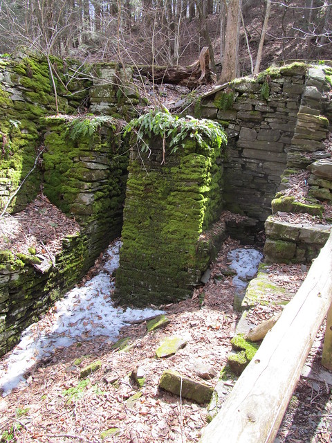
Ruined mill
Ruined mill
A side trail leaves the mill to the middle section of the falls.
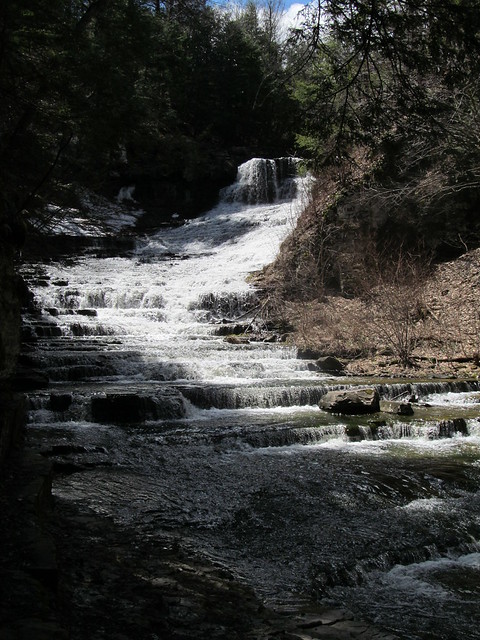
Rensselaerville Falls
The trail has patches of ice. I'm careful about my footing. Sliding into the gorge of the Tenmile Creek at the falls would not be pleasant!
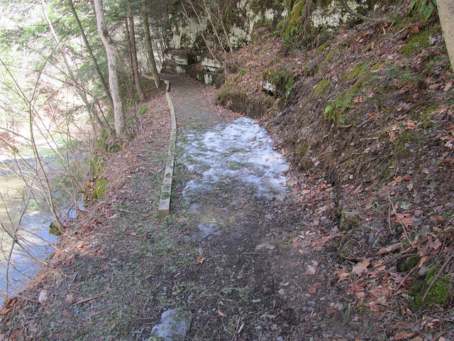
Ice on the trail

Backtracking to the ruin and heading up the hill puts me on the Falls Trail, which climbs moderately but steadily through a fine stand of hemlocks, most likely planted as a Great Depression reforestation project after the local farms failed.
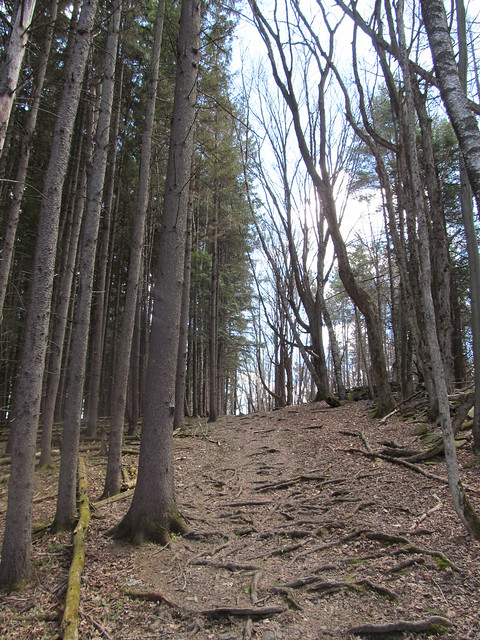
Trail up to Rensselaerville Falls
A handful of much older trees were probably beloved of the farmer.
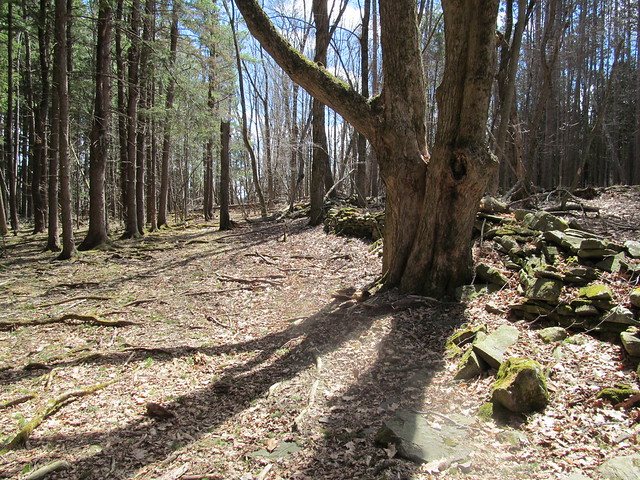
Trail up alongside Rensselaerville
      Falls

Once on top of the massif, the trail bends back to the river and recrosses on a wooden bridge that looks downstream over the lip of the falls.
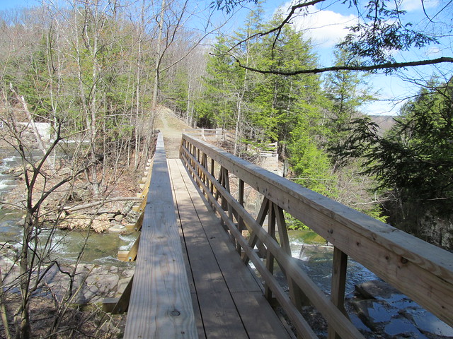
Bridge over Rensselaerville Falls
Lip of Rensselaer Falls
A stairway down from the far side goes to the edge of the falls at the top, another spectacular overlook. Beyond the falls, the "snow cone" of frozen mist is still apparent, even in late April.

Plaque at the overlook
Rensselaerville Falls

The trail then goes up the east bank of Tenmile Creek along the spillways of Myosotis Dam, arriving at lovely Myosotis Lake.
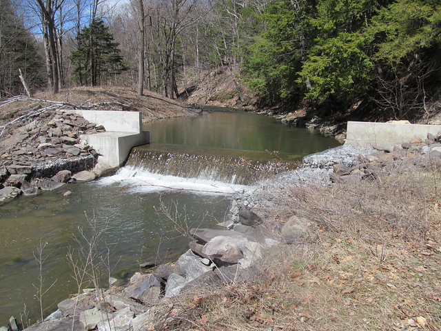
Lower spillway of Myosotis Dam
Myosotis Dam
Myosotis Dam

It passes the picnic area, swimming beach and boathouse, the Jessie Huyck building, and the Ordway house (which now serves as part of the preserve's conference facilities.
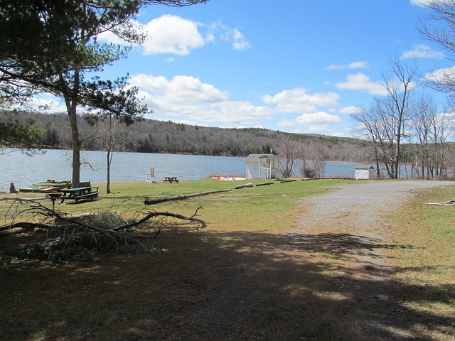
Huyck Preserve swimming beach
Ordway House

From here I proceeded up on the Ordway Trail, around the Race Track, and onto the Partridge Path. From time to time, I passed some ruins, including some wreckage whose purpose was ... uncertain. (It's too wide to be a trailer, but seems to have been made of parts of several. I've no idea what it was for.)
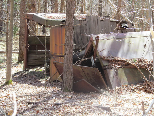
Wreckage

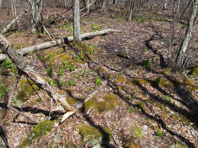
There are no wild flowers yet, but the corn lilies ( Clintonia borealis ) are starting to emerge. Corn lilies, clubmosses, and moss
Farther up, the first loop of the path brushes the edge of the preserve. Someone has managed to cling to his farm, and there's a hayfield right over the wall. Pasture
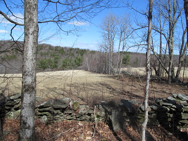
With the leaves off the trees, there's also a view down into the marshes, with County Road 6 beyond. The water is high from snowmelt.
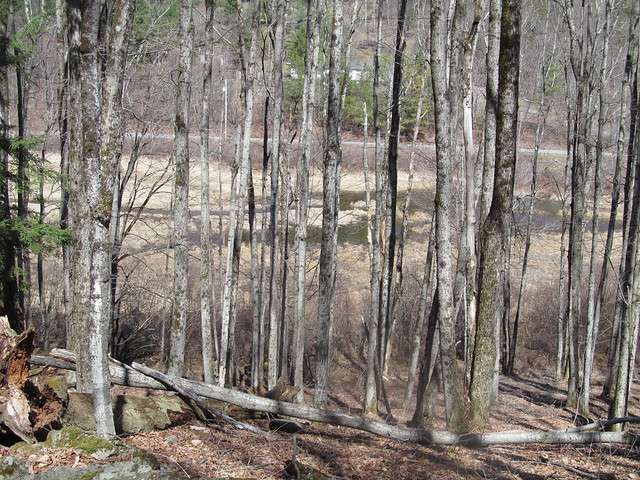
Beaver swamp

The trail recrosses the Tenmile Creek on a bridge, and follows an unnamed tributary upstream toward Wolf Hill.
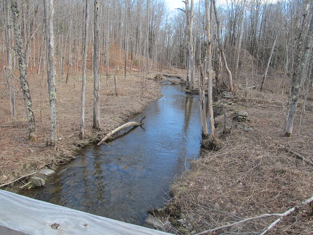
Tenmile Creek
Tenmile Creek
Tenmile Creek

When it reaches the Schoharie power line, there's a view toward the Taconics. Wolf Hill, which I explored the previous week, is visible in the nearer distance.
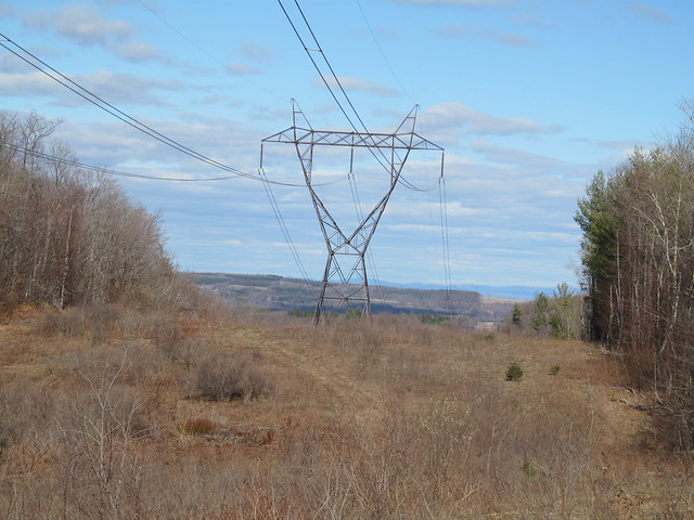
Power line cut

At the north end of the preserve, yellow survey blazes mark the boundary of the Partridge Run state forest. Survey blazes
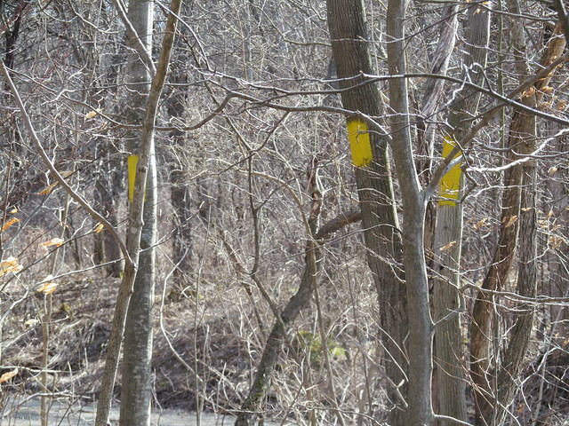
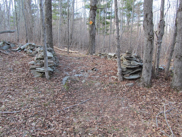
I signed the Wood Road register, and continued around to finish the other side of the loops. On the way, I passed a gate in an ancient stone wall. Some mason took pride in his trade. A wagon would still have a smooth ride on the pavement today. Old gate
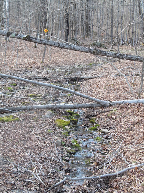
This early in the Spring, the less developed parts of the trail were still sometimes running with water and full of blowdown. I tossed aside what I could of the lighter brush. Some of the heavy stuff will just have to await a chainsawyer. Washed-out trail
I followed the Wheeler-Watson trail out, which goes by the Lincoln Pond dam and the adjoining cottage, another part of the preserve's facilities, used to house visiting scientists. While there's a trail around Lincoln Pond, and another connector across the north end of the lake, I decided to bypass them. The day was starting to get late, and I still had a few miles back to the car.
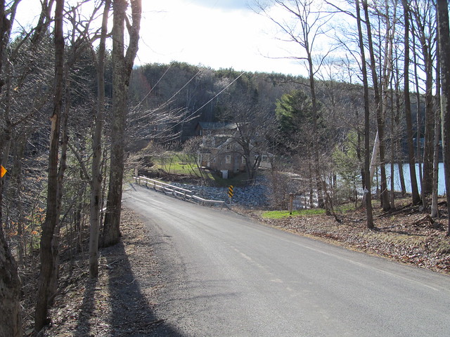
Lincoln Pond Cottage

I signed the trailhead register across from the cottage (I don't pass a register without signing in!) and followed the trail on the west side of Lake Myosotis past someone's experiment. The preserve is an active biological research station.
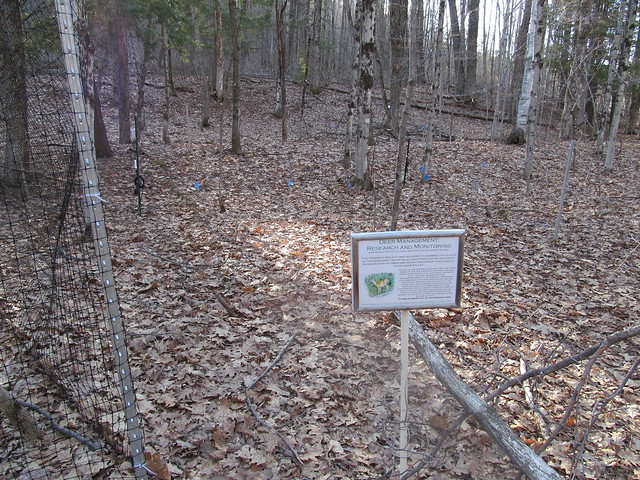
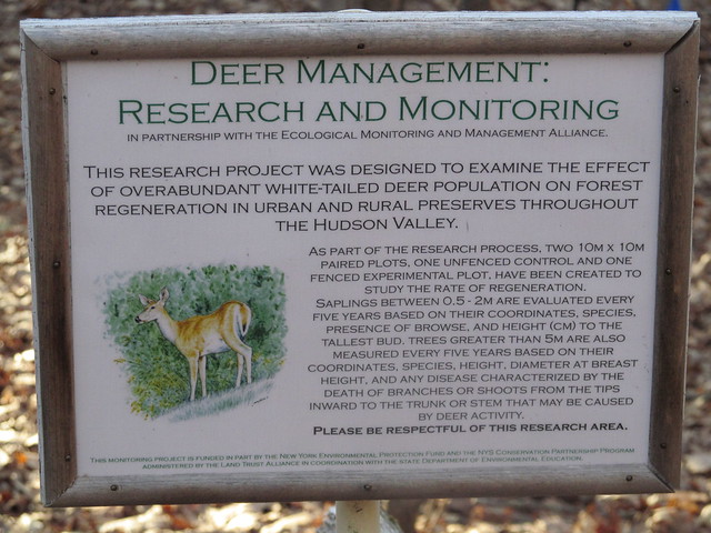
Experimental plot
Experimental plot

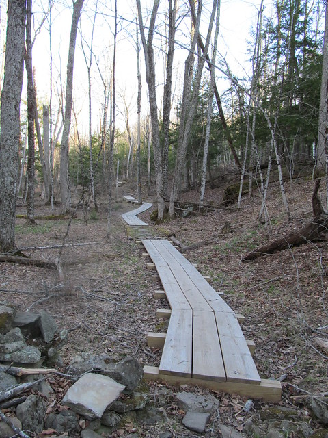
The wet spots are handled nicely by fine new bog bridging of dimensioned lumber. Bog bridging
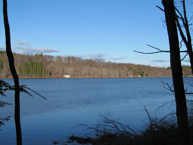
The Jessie Huyck center, the boathouse and the swimming beach stretch out along the far shore. Myosotis Lake
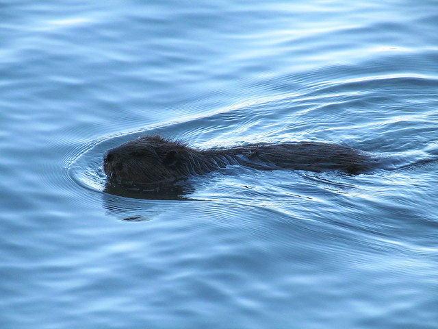
On the way, I was surprised to see a beaver working away. The beaver was too busy to notice me, and let me photograph for a few minutes, so I came away with a couple of, you should excuse the expression, wet beaver shots.
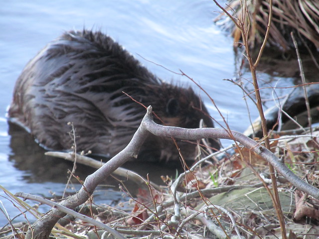
Castor canadensis
Castor canadensis

A little farther down the lake stands the ruin of another farmstead. Ruined farmhouse
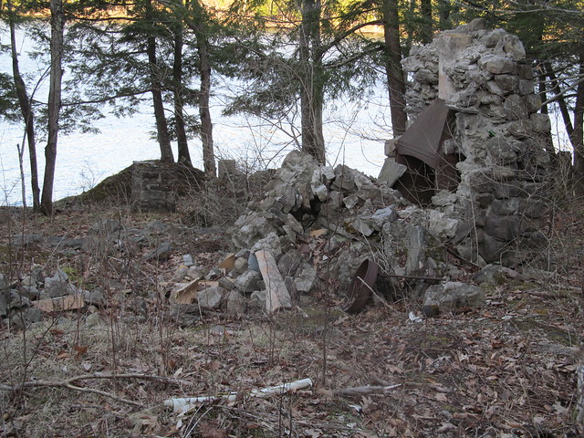
I rapidly made my way back to the car, and arrived with a good half-hour of daylight, having put in roughly a 12-mile day on easy trails.

2015-05-16 Bennett Hill, and return to the Huyck
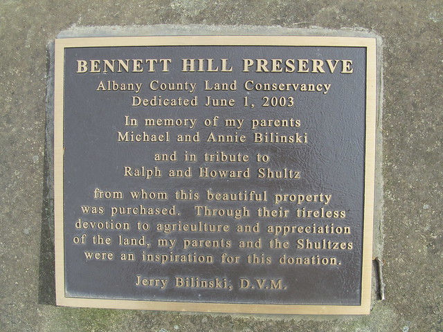
Bennett Hill Preserve

I felt as if I had to get out again today, even though the weather looked dodgy, so mapping another one of the little preserves seemed a good idea. I could always cut things short, or if the weather held, go back and do the unfinished trails at the Huyck or start mapping another one. I chose Bennett Hill, another one of the newer (1998) preserves in the Helderbergs. Like all the Helderberg hills, this one has a lot of interesting geology. Those who are interested in the complexities can find a lengthy discussion elsewhere. Suffice it to say that springs, sinkholes, and fossils are among the karst features in abundance. In fact, the entrance to the preserve is right near a cluster of four sinkholes, only one of which appears to be active (with a stream running into it that originates at a spring farther up).

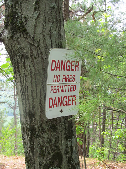
On the way in, I got a reminder that the last few weeks have been bone dry, even though we started with a good snowpack. This has been a bad fire year. Fire danger
The entrance trail overlooks a dairy, with fairly good views beyond when the trees are not fully leafed out. Its nicely benched into the side of a hill, and follows a contour line for about a quarter mile before it ascends steeply about 200 feet up a couple of switchbacks.
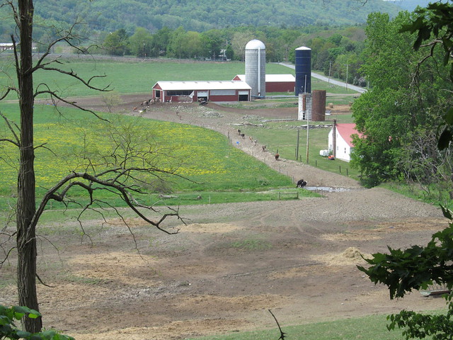
Dairy

Near the top of the climb, I caught sight of a strange object in the woods. "What's that bathtub doing there?" I said to myself. It turns out that the preserve builders, or perhaps the former landowners, thought it would be amusing to have a piped spring feed a bathtub faucet, so they set one up that way. I didn't sample the water, knowing that it will most likely taste as if it will rust your teeth!
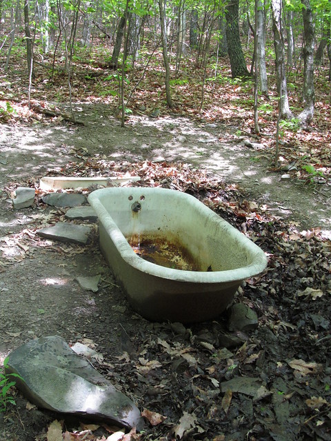
Bathtub spring

Right at the top of the last switchback, a hiker can rest for a moment. There's a tree with bent branches that's perfect for sitting on.
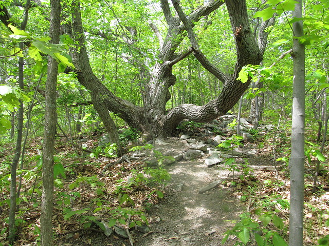
Nice sitting tree

I made a complete loop of the hilltop on the yellow trail. Over on the east side of it, there's a cairn just built on a straight and level bit of trail, with no turnoffs, good blazes, and good visibility. I have absolutely no clue why anyone would have gone to the trouble of building one right there.
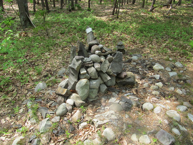
Cairn

On the north side, there's a nice overlook with a view toward Albany and the Green Mountains. The view left a little to be desired on such a hazy day.
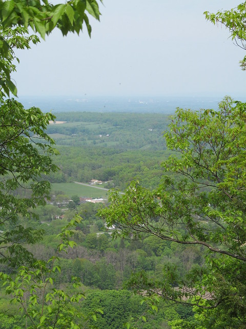
Approaching the Bennett Hil
      overlook
Albany

I finished the loop one-and-a-half times around the yellow trail, and descended the hill on the steeper and less well-maintained red trail. There's a lot of loose soil on steep slopes on the red trail; I suspect it may be headed for an erosion problem if the maintainers aren't careful. On the way out, I heard a strange sound. "What is that?" I said to myself. "It's not a motorcycle revving..."

The farmer had let the cows into the nearby field. I was hearing them arguing over the haystack. "MOO!". My, the sound carried.
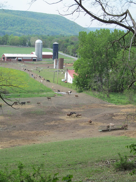
Dairy

This bit of mapping had taken me only a couple of hours, and the weather still looked as if it would hold off for a bit, so I headed back to the Huyck Preserve to map the bits I'd missed. I parked up by the Lincoln Pond dam this time, and started hiking around the pond (after some delays, such as replacing the lens that fell out of my spectacles). The pond with its dam is a pretty sight, and vegetation and driftwood made interesting reflections in the water.
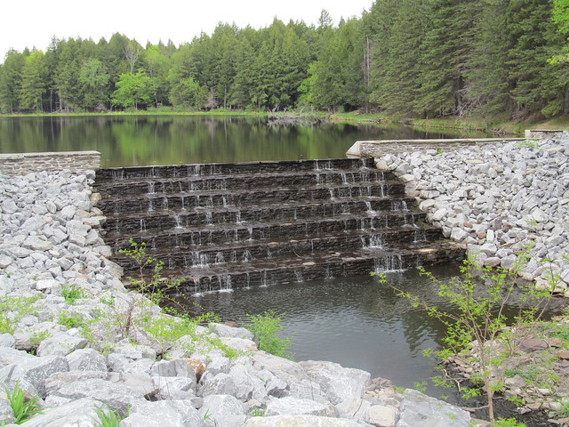
Lincoln (Hicks) Pond

My beaver friend from a few weeks ago wasn't working while I was there, but I saw that he or one of his colleagues had been about.
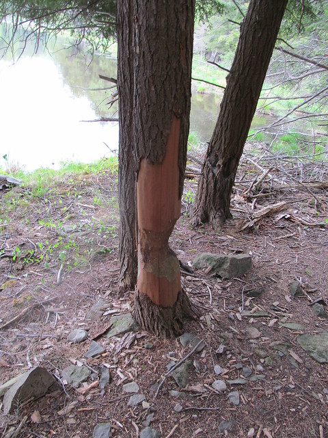
Beaver damage

After going around the smaller pond, I walked around Myosotis Lake to map the connecting trails that I also had missed on the last visit. I found I didn't have to turn back at the dead end at the dam spillway, because the spillway was completely dry. I jumped down into the concrete gully, walked across and scrambled the other side. I grabbed a panorama of the lake from the center of the dam. Click the image for video.
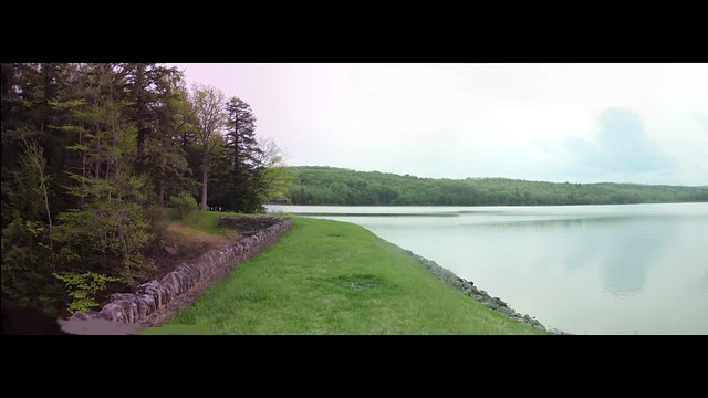
Myosotis Lake I went back to my car up the east shore, getting the crossover to the north of the lake, and got back just as it was starting to rain.

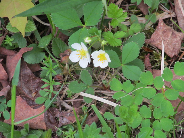
The day had wildflowers in abundance, while just two weeks earlier there had been none at all. Among the ones I spotted were Geranium maculatum, which gardeners call a 'false geranium.' The 'true geranium' to a gardener, to a botanist isn't a geranium at all, but in genus Pelargonium. Go figure. I also saw wild strawberry, violets, and apple and black cherry in bloom. It was a pretty day.
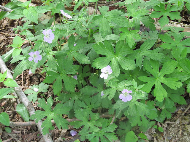
Geranium maculatum
Wild strawberry
Apple in an abandoned orchard
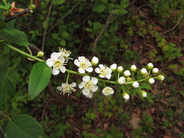
Black cherry in an abandoned
      orchard


Read more...