On November 2, 2014, I climbed North Dome in the Catskills with
Jon, an occasional hiking partner of mine, and his friend Chris.
The trip that this report describes is in the nature of a
pilgrimage, and the slaying of a personal bugbear. As far as I know,
I'm the first in my family to climb North Dome Mountain since the
tragic events of 1940.
I'll let the newspapers describe the piece of family history that
North Dome represents.
From the Brooklyn Daily Eagle, 29 November 1940, page 7:
Brother Vamps Join Search for L.I. Hunter Missing 3
Days
Special to the Brooklyn Eagle
Inwood, Nov. 29—Twenty-five members of the Inwood Volunteer
Fire Department today joined the search for Wesley Meserole, 28, of
143 Lord Ave., here, who disappeared last Tuesday on a hunting trip in
the mountainous countryside near Spruceton. Meserole is a member of
long standing of the local fire company.
Headed by Nassau County Police Sgt. Robert O. Kirk of the Woodmere
Precinct, brother-in-law of young Meserole, the firemen left here in
five automobiles. The missing man's wife is on the verge of collapse
at his home, where she and their two children are anxiously awaiting
news.
Police Continue Search
Spruceton, N. Y., Nov. 29 (UP)—State police, CCC workers and
volunteers continued to search the woods near here today for Wesley
Meserole, 28, who disappeared on a hunting trip Tuesday. Meserole,
father of two children, left his Inwood, L. I. home Monday. Hunters at
a Catskill mountain camp said he had ascended nearby North Dome
Mountain. State police were notified when he failed to return that
night and a search has been in progress since.
From the Catskill, N.Y. Examiner-Recorder,, January 9, 1941,
page 5:
Shells Identified As Fired By Meserole
Shotgun shells found in Mink Hollow, town of Lexington, were
positively identified by experts as shells fired by Wesley Meserole,
Inwood, L.I. hunter who has been missing since November 26 when he
left a Spruceton farmhouse to go hunting.
The search for the hunter is expected to continue whenever weather
permits and many county residents, CCC boys and friends from Inwood
have participated in the search.
From the Catskill, N.Y. Examiner-Recorder,, April 24, 1941,
page 1:
TO SEARCH FOR MISSING HUNTER AGAIN SUNDAY
Volunteers are again requested to join in a search of the Mink
Hollow and Broad Street Hollow sections near Westkill in a final
effort to locate some clue to the mysterious disappearance of Wesley
Meserole, Inwood, L.I. hunter who vanished during a hunting trip on
November 26.
The search, to be held Sunday, May 4, is sponsored by the Inwood
Volunteer Firemen. Cooperation will be offered by county volunteer
firemen and others from several sections of the state. State
Troopers, game wardens, fire wardens, local police, and residents
will also join the hunt. It is hoped that sufficient manpower will
be present to comb every inch of the territory in which Meserole had
been hunting.
Searchers are requested to report at Westkill Community Hall at 8
a.m., Sunday. Sandwiches and coffee will be served throughout the
day.
Since Meserole's disappearance, several attempts have been made to
locate the missing man, his gun, or some definite clue which might
help in solving the mystery of his disappearance. After January 12,
the search was discontinued due to the snow on the mountains.
The only clues found so far have been discharged shotgun shells
identified as the same type used by Meserole.
From the Catskill, N.Y. Examiner-Recorder,, May 15, 1941,
page 1:
EXPECT 500 MEN TO JOIN SEARCH FOR MESEROLE
The search for Wesley Meserole, missing Inwood, L.I. volunteer
fireman, who disappeared while on a hunting trip near Westkill, town
of Lexington, on November 26, will be organized this Sunday, The
search, a final attempt to solve the mysterious disappearance of the
hunter, was originally scheduled for May 4, but was cancelled when
the state closed the woods to the public due to the danger of fire.
More than 500 searchers, consisting of volunteer firemen and
co-operating residents from Inwood, Meserole's home town, and
communities throughout Greene and adjacent counties are expected to
join the searching parties.
Charles Stewart, president of the Green County Firemen's
Association, is in charge of the arrangements. All searchers will
leave the Westkill Community Hall at 8 a.m.
From the Catskill, N.Y. Examiner-Recorder,, May 22, 1941,
page 1:
SEARCHERS FAIL TO FIND ANY TRACE OF LOST HUNTER
Although upwards of 400 men gathered at Westkill on Sunday for a
final search through the Broad Street Hollow, North Dome, and adjacent
areas, no trace of Wesley Meserole, 29, was found.
Meserole, a volunteer fireman from Inwood, L.I., has been missing
since he started on a hunting trip last November.
Participating in the search Sunday were volunteer firemen from
nearly every company in Greene ounty, as well as representatives from
Columbia and Schoharie counties, Inwood, and residents from the nearby
communities, headed by men from the Conservation Department, the
sheriff's office, State Police, Charles Stewart, president of the
Greene County Firemen's Association, and Frank D. Meserole, the
missing man's father.
Any number of miscellaneous objects, left by countless hunters in
the area, were found, but nothing could be located to indicate the
whereabouts of Meserole.
Many persons apparently are convinced that Meserole was
accidentally shot and killed by another hunter, and that the body and
all equipment which he carried, have been hidden in the rocks or
buried. The mystery may remain unsolved forever. Providing Meserole
was killed by another hunter, hope has been expressed that a guilty
conscience may cause the killer to reveal the whereabouts of the body
in due time, either by personal confession or by an unsigned message
to the authorities.
From the Catskill, N.Y. Examiner-Recorder,, May 29, 1941,
page 1:
$1,000 REWARD OFFERED FOR BODY OF W. MESEROLE
Determined to solve the mysterious disappearance of his son, Wesley
Meserole, Frank Meserole now offers $1,000 reward to any person or
persons locating the missing Inwood, L.I. hunter, dead or alive.
Meserole disappeared on November 26, 1940, while hunting rabbits in
the town of Lexington, south of the Westkill and Spruceton road,
presumably in the Broad Street Hollow area.
Thousands of searchers have combed the mountainous area of North
Dome where the hunter was last seen. The hunt continued for some
time after Meserole disappeared, although the men were handicapped
by snow, the first of which fell the night Meserole was reported
missing.
A final search was organized on May 18 when a large group of men,
composed of volunteer firemen, civilians, friends from Inwood, state
police, game protectors, and men from the sheriff's office combed a
large area, but failed to find a single clue to indicate the
whereabouts of Meserole.
The theory that Meserole had died in the woods as the result of an
accident, or from wounds inflicted by himself, is now discounted,
since it is believed that his body would have been found on May 18
had the remains been exposed since his disappearance.
A couple of side notes: I'd describe Wesley Meserole as
having gone hiking. A strict Methodist, he was never one to "eat the
bread of idleness," but carrying a gun would give his expeditions
purpose, however unsuccessful they might be—and they most often
were. In his time, there was little in the popular conception to
distinguish recreational hiking from vagrancy.
The $1,000 that the elder Meserole offered as a reward was quite
a substantial sum, more than half a year's wage for a journeyman
carpenter in those days. Nobody ever stepped forward to claim it.
Wesley Meserole was the father of Roy Meserole, who eventually
became my mother's long-time companion. (I often refer to him as my
stepfather, although they never contracted a formal marriage, owing
in part to the fact that doing so would jeopardize the assets of
both should either ever suffer a severe medical problem.)
Among my family, North Dome was a mountain whose name was uttered in
hushed tones. When I took up mountaineering in the Catskills, my
brother strongly reminded me of the tragic events that befell the
Meserole family, and told me in no uncertain terms that I must not
leave my wife a widow! With that background, North Dome was the one
of the Catskill 3500's in particular that filled me with profound
unease, if not indeed dread.
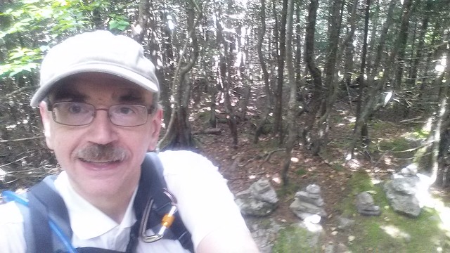
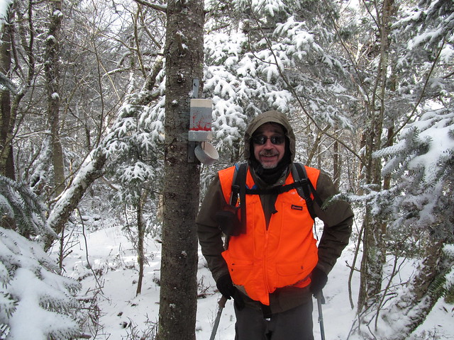
It was against this background that Jon called me on November 1
(rather at the last minute), inviting me to hike North Dome and
Mount Sherrill on the following day. I accepted, warning him that I
would be a bit of a nervous Nellie on the trip, and telling him some
of the family history that made that so. We agreed to meet at the
Shaft Road trailhead to shuttle cars.
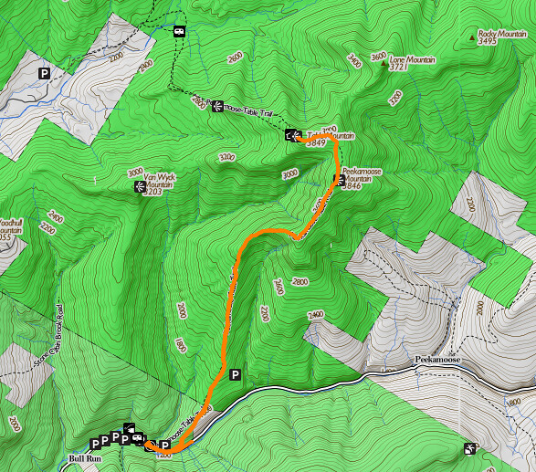
We got started from the Mink Hollow trailhead in Spruceton (do you
recognize names from the newspapers?) in reasonably good order, if
at quite some delay, owing to the fact that I got delayed a little
bit north of Schoharie village for some sort of police roadblock. I
never found out what was going on. They were talking with a good
many drivers, but when I finally got to the head of the line, they
waved me through.
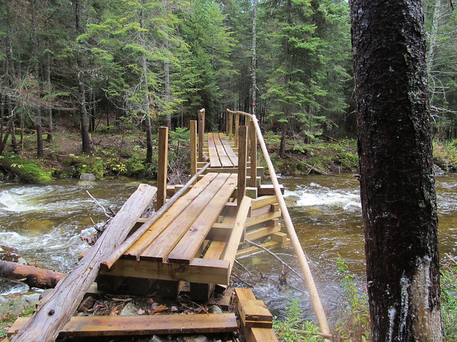
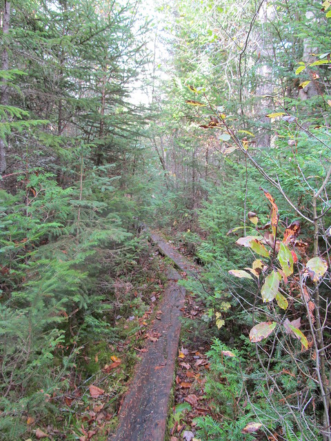
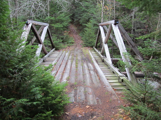
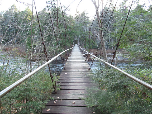
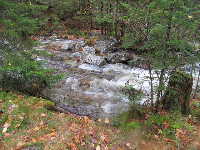
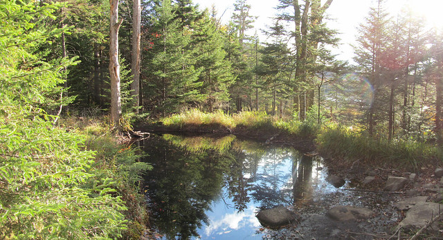
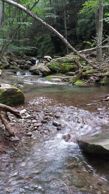
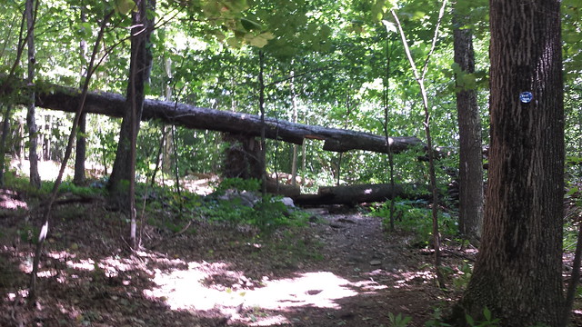
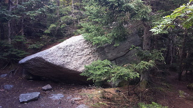
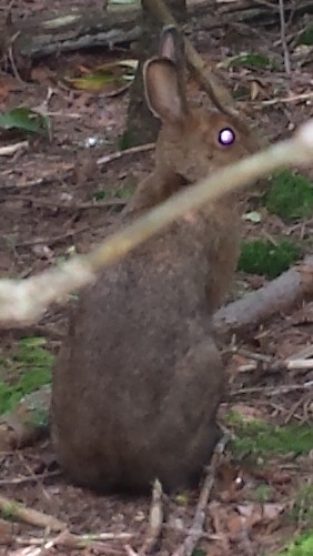
We walked in on the Devil's Path to roughly the first place where
it's possible to turn up North Dome without trespassing. We
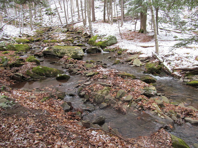
rock-hopped the Mink Hollow brook, and started up the steep ascent
to North Dome.
About a quarter of the way up, Jon had to sit down, and started
looking quite ill, and talking about aborting the hike. Chris and I
of course stayed with him, and offered considerable reassurances
that we'd not be at all annoyed at an abort, Objective Number One is
to come home safe! But it turned out that he'd skipped breakfast,
and had had nothing to eat that day but a couple of cups of coffee,
and a Slim Jim munched in the car washed down with a can of Red
Bull. He got out some of the food he brought, and had a sandwich. We
made sure to get extra water into him, since he'd had nothing
earlier in the day but salt and caffeine! He came around nicely, and
said, "Let's try just moving slowly, and do just North Dome,"
insisting over our objections that he was well enough to travel.
In the event, it turned out that he was right. He continued to
improve and was soon hiking strongly. Nevertheless, I'm a slow
hiker, and the various delays made it obvious that we didn't have
enough time to do Sherrill and descend to the west.
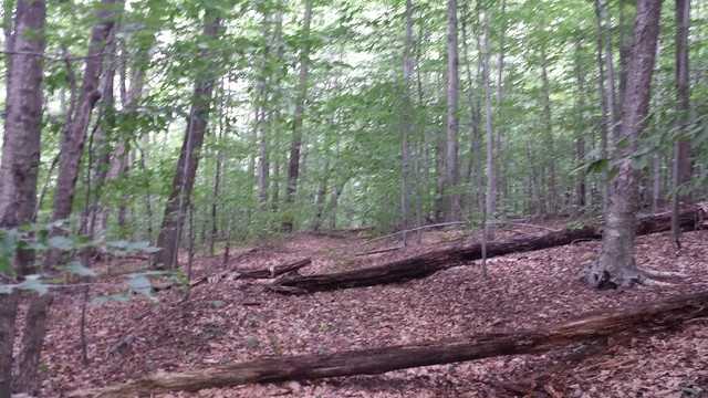
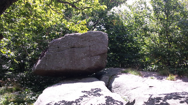
There had been a dusting of snow at the trailhead, and it gradually
got deeper until it was boot-deep at the summit. The snow atop
slippery fallen leaves made the ledges quite challenging. It was
difficult finding safe footing for scrambling. Still, nobody had a
bad fall or got hurt.
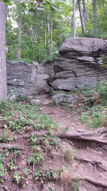
We eventually made it onto the north spur of the mountain, making
the ledges slightly less high. They were still just as precipitous,
and as frequent. They were just somewhat less tall. They continued
up into the balsam forest.

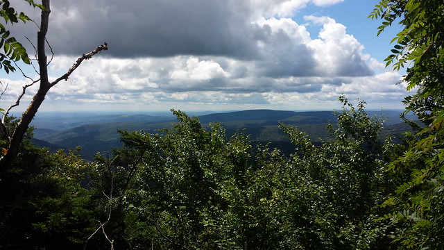
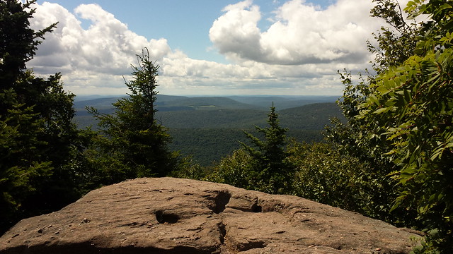
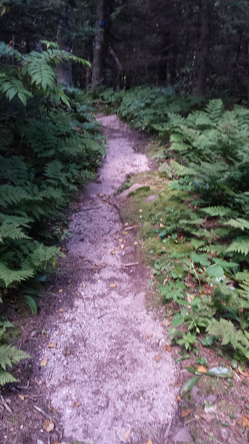
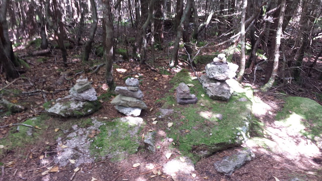
Finally, we emerged onto an open path that led for about half a
mile across the flat summit, depositing us directly at the
canister.

At last, I'd reached the spot that my family's lore had me believe
was cursed.
I wrote a lengthy inscription in the log book:

IN MEMORIAM
F. WESLEY MESEROLE
BORN 1911
LAST SEEN ON THIS MOUNTAIN
NOV. 26, 1940
LEAVING BEHIND
HIS WIFE GEORGINA
AND TWO YOUNG CHILDREN
ROY AND ETTA

THIS NOTE LEFT
NOV. 2, 2014
ALL SOULS DAY
BY HIS STEP-GRANDSON
KEVIN KENNY
I hope that for me, at least, that particular ghost will now be laid
to rest.
We then started back down the mountain. Jon was quite enjoying his
descent, glissading wherever possible. I was going at it
considerably more gingerly, glissading only when necessary, mostly
when the arses of the two hikers ahead of me had compacted the snow
into a slippery mass that would not give me stable footing. A few of
my glissades were of the "inadvertent seated glissade"
variety. There wasn't really enough snow for a good slide, and I
suspect that the rocks may have done some damage to the seat of my
pants.
On the way down, I happened to notice a row of trees where the snow
had made near-perfect AT blazes - nowhere near the Appalachian
Trail. This potential confusion is one reason that I find the AT is
interesting to navigate in the winter.

Without much further ado, but on an approach trail that seemed much
longer in the afternoon than it had in the morning, we made our way
back to my car, shuttled back to grab Jon's car, and got on the
road.
After getting into dry clothing, we adjourned to the Sportsman's
Alamo Cantina in Phoenicia for a post-hike celebratory meal. The
verdict: a successful day.
Map of our tracks:
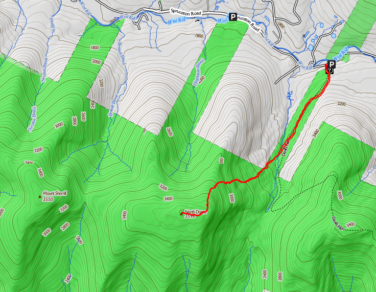


 The initial ascent up the Batavia Kill is gradual. The trail was pretty badly postholed. I still stuck to it for the most part, but there were a number of spots where Jon and Chris found it easier to break trail than to walk over all the lumps and bumps. Jon was afraid of bending a snowshoe by coming down flat-footed spanning two of the lumps, and at one point I lacerated my shin by falling forward when the whole front half of my snowshoe sank into a cluster of holes.