On Sunday, April 24, I got the urge to get outside even more
strongly than usual, and decided to go out for a stroll despite some
warning twinges from the fasciitis in my foot. I headed over to the
Wolf Creek Falls Preserve
in the town of Knox, because it contains a short section of the New
York Long Path, and its trails had not yet been placed on Open
Street Map.
(They're
there now! Getting the little nature preserves in the
Helderbergs mapped has been a pet project of mine, off and on.)
What with church choir and socializing afterwards, it was after three by the time I actually got out on the trails, and I spent about three hours walking around, making field notes, and taking careful compass sights down the many stone walls that crisscross the preserve. I was fairly pleased with the result on the map. As the data propagate, sites like CalTopo or Open Hiking Map will now show the preserve.
I managed to put in about five miles, getting GPS tracks for all of the trails at least once and most of them twice. Averaging these with the tracks on the Mohawk-Hudson Land Conservancy's site gives me with a layout that I feel fairly comfortable with. I may head back at some point to walk everything again in the opposite direction and have further data for averaging.
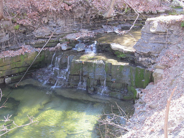
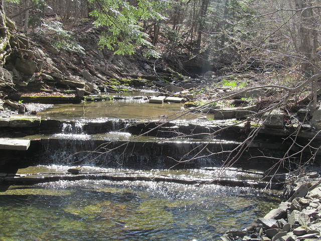
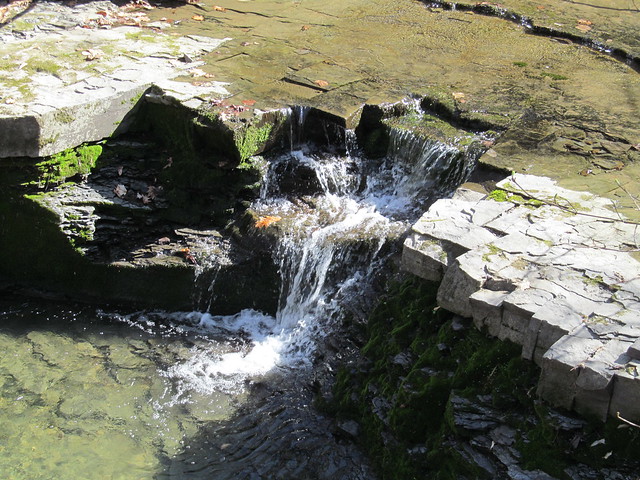
The Wolf Creek itself runs through the north half of the
preserve. It is, for the most part, in a pretty little glen with
many riffles and a couple of fairly substantial waterfalls.

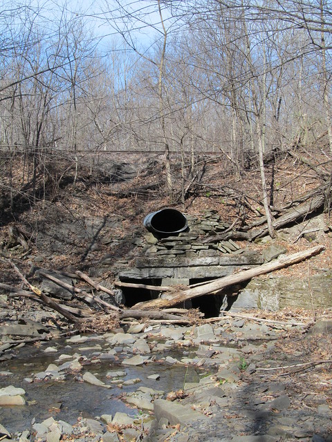
Where the creek leaves the preserve, it's considerably uglier, as
the water flows under a strange railroad culvert. The reason for the
odd construction is that the upper pipe once carried runoff from a
gravel sorting and washing operation that used water from the upper
reaches of the creek and had a freight siding for loading
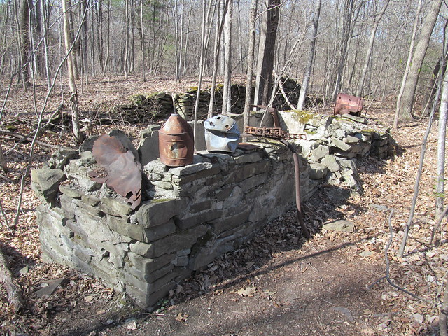
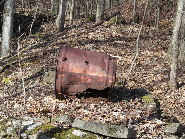
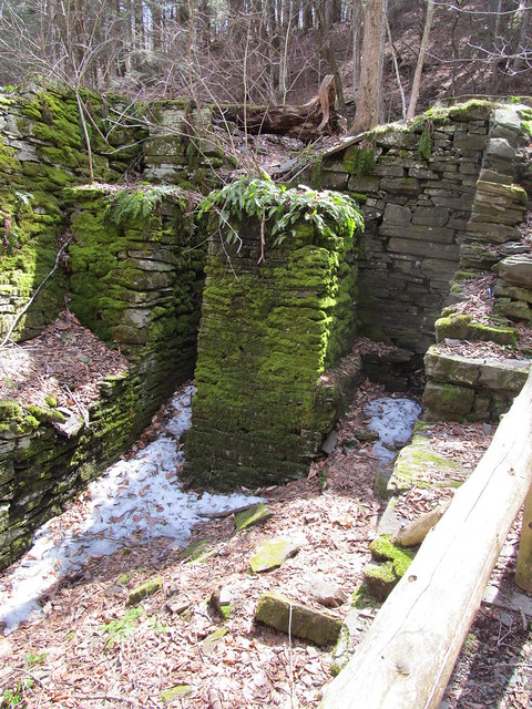
gravel. Nearby on the trail, there is a ruined foundation of part of
the workings, and various bits of wreckage on display.
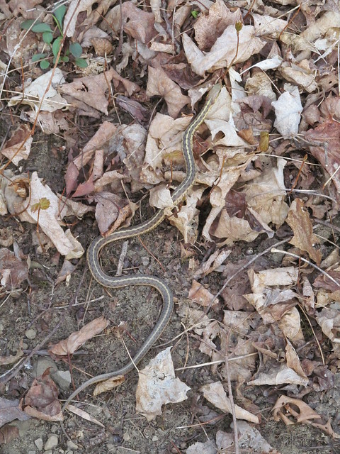
While walking the trails, I saw a garter snake, the first I've seen
this spring.
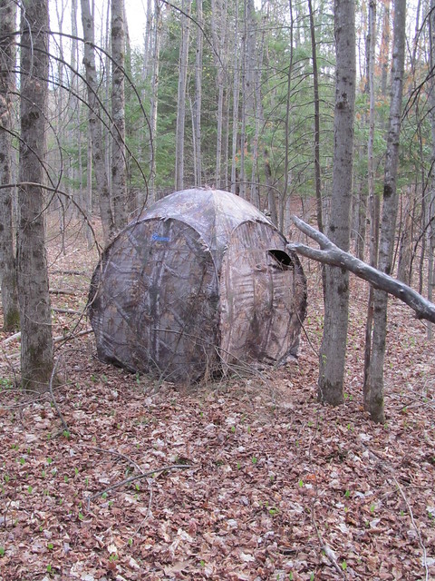
A blind that's just beyond the stone wall on the south side of the
preserve shows that the neighbour must be a hunter.
The property has an unusual number of stone walls crisscrossing it. The two long ones that run its entire width date back to the early 18th century, and mark the boundaries of great lots 791 and 792 of the huge feudal Rensselaerswijck estate. The Van Rensselaer family owned what today is the better part of four counties, and ruled it as lords of the manor right up to the Helderberg War (or Anti-Rent War) of 1866, which was fought on this very ground in the Town of Knox.
The remaining division into rectangular sections was made in the
middle of the 19th century by a sheep farmer named Van Auken. He
built the walls both to clear the fields and to divide up the
pasturage into manageable chunks. The wool that he harvested went to
the Huyck felting mill in Rensselaerville, whose ruins I visited on
an
earlier mapping trip.
All in all, rather a frustrating day, although at least I got out. Five miles on easy trails, and at the end of it my foot was killing me! I'm obviously not in any shape to return to the high peaks yet. I do hope that this plantar fasciitis lets up soon, it's been months!
Read more...