Showing posts with label catskills. Show all posts

Monday, November 16, 2020

2020-11-14 Delhi trails

Today, Cathy and I went hiking on the trails near Delaware Academy in Delhi (pronounced DELL-high), New York.

Kevin and Cathy

The original plan had been to hike Mount Sherrill, a trailless peak in the Catskills reported to be fairly moderate as Catskill bushwhacks go. (Which is to say, a hard-core hike! Catskill bushwhacks are never easy!)

I spend way too much time yesterday worrying and re-re-doing the trip plan; somehow this one had me anxious. Cathy reported that she was uneasy, too, and neither of us knew why!

But the morning went fine right up to when I started loading the car. I couldn't find my trekking poles - which I knew I had less than a week ago, and I don't think I'd had the car out since. I checked the back seat of the car. I checked under all the seats. I checked the garage. I checked the corner by the door where I sometimes lean them. I checked my backpack, and under my backpack. I checked the gear shelf. I checked all the places multiple times. Nothing doing!

With my knees, I can't hike without poles, and eventually, I said, “There's no help for it. They're gone. We'll stop by EMS on the way out and get another pair.” We headed out, with me still berating myself, and got to the outfitter, which of course wouldn't open until 10 AM. Add 1.5-2 hours to get down to the mountain, and that's way too late a start when daylight is as short as it is.

We went back to my house to make other plans. I suggested that we might want to start on the CMC Hiking Trails Challenge a patch program for a set of relatively easy trails. (Not to be confused with their 350-mile All Trails Hiking Challenge which is for mountain goats only!

We got back, printed a couple of copies of the map and set off for Delhi to do the first set of trails - the set near the Delaware Academy. The weather started to look considerably worse than forecast: we got some spatters of rain and even a few flurries of snow, and decided that we were glad we weren't going to be at significant elevation.

As Cathy put it, “This is Someone Up There telling us, ‘all right, you both ignored the bad feelings that I gave you about this trip? Fine, I'll send a clearer message!’ ”

The trip wasn't terribly difficult, but it was strenuous. The trails up the hills had only piddly 600-foot (200 m) elevation gains, but because we were trying to do them all, we were doing several of them out-and-back and probably had a couple of thousand feet of elevation (600 m) gained as we hiked 7.5 miles (12 km) to map about 5 miles (8 km) of trail.

The area has charming names for trails and viewpoints, taken from the children's book My Side of the Mountain by Jean Craighead George.

With the leaves off the trees, there were a couple of pretty views. The village of Delhi is charming from above!

Delhi, NY as seen from the Gribley Trail above Delaware Academy

More fun than Sherrill would have been trying to hurry and in marginal weather, so the change of plans was a good call!


Read more...

Tuesday, September 8, 2020

2020-09-06 Eagle and Big Indian mountains

On Sunday, September 6, Cathy and I decided to go hiking again - this time to Eagle and Big Indian Mountains in the Catskills.

She was particularly eager to do Eagle because for her it was the one that got away and we decided that if all went well, we might be up to a second peak. Big Indian is one mountain over, and you've done 2/3 of the work of climbing it once you're on the approach trail!

We agreed to meet at 8am, Musician Standard Time (There isn't a musician who's ever on time for an early morning appointment), got rolling in good order and were on trail about 10:15.

We headed for the trailhead at Seager, a settlement named for George Seager, a settler who homesteaded there in 1800. The access road, Dry Brook Road, winds up a picturesque gorge and passes three covered bridges on the way in.

There were only two other cars at the trailhead, bearing decals like "Winter 35'er" and "Long Path End-to-End," so we knew we were in the company of some pretty awesome hikers. We exchanged pleasantries and started up the couple of miles of trail that cross Furlow, one of the estates of Gilded Age robber baron Jay Gould, which still belongs to his descendants. The descendants have graciously given hikers permission to access the trail (as well as one or two other blazed trails that cross their land elsewhere). The rest of the large estate is to be considered strictly off limits.

One of the easier stream crossings

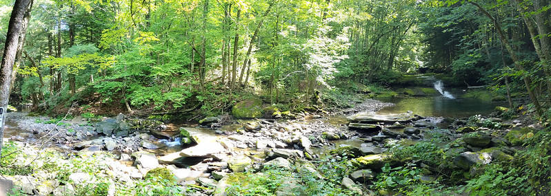
The trail, an old carriage road, runs along the bank of Dry Brook, with numerous fords of tributaries and traverses of washouts, some of which have pretty sketchy footing. Bank of Dry Brook It's a pretty easy stretch of trail otherwise. It passes a lovely pool with a waterfall, which would have tempted us to swim were it not for the fact that it was a fairly chilly morning and there were obvious signs forbidding trespassing. (Always respect the landowner!)

Waterfalls on Dry Brook

Incidentally, Dry Brook is anything but dry! The origin of its name is unclear. One speculation is that it was named "Drie Broek" by the Dutch because it is the third large stream above the Forks of the Delaware. That sounds a but odd to me: "Derde Kill," or "Derde Beek," would seem more likely as a name. But I've not heard a more likely explanation!

Stream crossing

In any case, the trail comes to a place where it joins a private road. It follows the road across the very wet Dry Brook at a ford. Even in high summer, an SUV must drive through flowing water there. I'm sure it's completely impassable in snowmelt! Again, the footing was a bit sketchy, but we managed to cross dryshod.

It was there that we ran into our second party of the day. They obviously belonged to a different subculture from ours.

“Are you guys heading to Camp 13?”(Never heard of it...)

“No, we're looking for where the trail up to Big Indian leaves the road. We want to make sure we don't miss it.”

“You need to ask that tall guy in the red cap. He's a real hiker and knows all the trails.”

Red-capped gentleman: “Oh, you mean up to the ridge? That trail goes straight up, you know!”

“We'd heard there were a few spots of scrambles.”

“So, are you guys backpacking?”

“No, just here for the day.”

“Daytripping? All the way up there?” He shook his head. “Good luck!”

We decided not to tell him that we were planning to attack two mountains. We pretty quickly spotted the trail sign - the turnoff is not nearly as obscure as others' trip reports had led us to believe, and continued down a wet trail, now following Shandaken Brook, fording it back and forth a few times. to the beginning of the state-owned wilderness and a lean-to.

Shandaken Creek lean-to

Up to this point (about 2.5 miles [4 km] in), there's been only about 400 feet (120 m) of elevation gain. The trail now begins to climb in earnest, gaining about 900 feet (275 m) more in the next mile (1.6 km) taking a steep path full of loose rock with blackberries on one side and nettles on the other. We managed to avoid taking any bad scratches or stings, although Cathy did take a bit of a tumble off a rock that was both loose and slick with algae. She bounced right back up, with the only damage being a slightly wrenched thumb from a trekking pole strap. She's a trouper!

Once we made it to the col, and started along the ridge for Eagle Mountain. The trail was level a lot of the time, interspersed with scrambles up steep ledges. (Everywhere in the Catskills, there's a scramble at about 3400 feet (anout 1 km) elevation, where a layer of soft mudstone is overlaid by a layer of much harder conglomerate rock.)

One of the scrambles on Eagle Mountain One of the scrambles on Eagle Mountain

We negotiated the scrambles, Cathy with more grace than Kevin, found the turnoff, and arrived at the summit, where I was surprised to find a canister. I learnt from other hikers that it was only a year old. We signed in, and had a chat with another party— relative newcomers to the Catskills—who were backpacking the Pine Hill-West Branch trail over Big Indian, Eagle, Haynes, Balsam and Belle Ayre mountains.

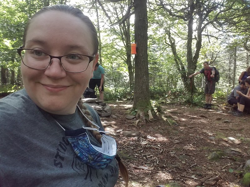
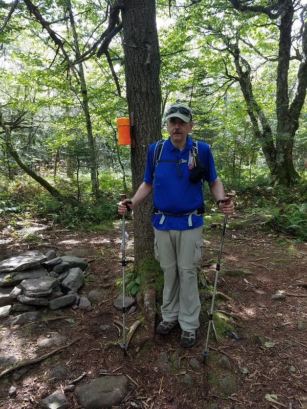
Cathy's summit selfie Cathy grabs a picture of Kevin

I don't know the origin of the “Eagle Mountain”” name, but once upon a time, the Catskills were known for having the birds. Herman Melville wrote [Moby-Dick, chapter 96]:

[...]there is a Catskill eagle in some souls that can alike dive down into the blackest gorges, and soar out of them again and become invisible in the sunny spaces. And even if he for ever flies within the gorge, that gorge is in the mountains; so that even in his lowest swoop the mountain eagle is still higher than other birds upon the plain, even though they soar.

I'll think of that as the reason for the name; it might be an uplifting enough thought to keep me climbing!

While we were eating our own lunch, we were visited by a couple: an old mountain-man and his mountain-woman. We learnt that she's completed the Catskill Grid: climbing each of the 35 high peaks in every month of the year, for a total of 420 ascents. (Not an achievement that would appeal to me: I like to see new places!) We wished them well, they wished us luck in finishing the 35, and we headed back for the col.

At the trail junction, we had a strategy conference. It was mid-afternoon by now, and we had to decide: do we head down, or do we press on for Big Indian Mountain? We decided that if we still had enough natural light to take the ford by the private road, we could hike the remaining couple of miles by headlamp if necessary, and decided to go for it. (We are not immune to get-there-itis.)

The way up along the ridge to Big Indian was a little longer and steeper than the one to Eagle, There was more loose rock, more scrambling, and a few tilting slabs of rock where Cathy was pleasantly surprised that the soles of her new shoes gripped (so no need to find better holds). The slabs are obviously a problem in winter—they were covered with scratches from climbers' crampons trying to gain purchase.

Along the way, Cathy asked me about the “Big Indian” name. I was able to tell her that Big Indian Mountain, Big Indian Hollow, and the village called Big Indian were all named for an extremely tall native, the subject of a local legend that I couldn't recall. I looked it up after we got home. The legend appears to be one of the ones invented out of whole cloth by 19th-century developers to sell land in their villages.

Winnisook, so the story goes [Charles M. Skinner, Myths & Legends of Our Own Land. Philadelphia, Penna.: J.B. Lippincott, 1896, pp. 28-29], was a seven-foot-tall Algonquin, who fell in love with a Huguenot girl from the hollow, named Gertrude Molyneux. He asked for her hand, but her father refused, and insisted she marry a white man, She conceded, and was married to one Joseph Bundy, who proved to be an abusive drunk. Believing that she would be happier among the natives, she eloped with Winnisook. Her family's search for her was in vain, unto one day Winnisook was sighted leading a cattle-raiding party. The villagers gave pursuit, with Bundy leading the chase. Bundy, crying that Winnisook had stolen not only his cattle but also his wife, fired his rifle. The mortally wounded Winnisook crawled into the hollow of a pine tree, where the farmers lost sight of him. Gertrude later found him there, sitting bolt upright, but dead. The villagers were fond of pointing out the tree, until the construction of a railroad in the valley removed it. (The railroad itself did not survive for very many years.)

Since Skinner's book, the story has grown in the telling. Mary Lou Stapleton, once a shopkeeper in the valley, added the detail that nobody had been able to extract Winnisook's body from the tree, and it had grown about him. As she tells the story: ['TravelStorys': “Catskill Mountain Scenic Byway - Legend of Winnisook”, available on SoundCloud], when the railroad men felled the tree, the skeleton of the Big Indian fell out, and they said, "well, we have the name of our town now. It's called Big Indian."

She went on to say,

I used to do events at my store. I would do a little event called, “Celebration of the Big Indian.” I would have vendors and I would have drumming. It was the last time that we did it and it was a lot of people there. I came home and I was just exhausted. And at three o’clock in the morning I woke up and it was like someone was calling me. I went back down to the store and I circle there, and I actually saw a vision. I saw all very, very old indians dancing in a circle. And they were calling me. So I went in the circle and I danced for two hours, until 5 in the morning, and I was with all these native people. And I came back home and I went to bed. A few months after that, I was given my name, and it was “Spirit Dancer.” That was pretty amazing… That was pretty amazing.

Winnisook Lake, and the exclusive Winnisook Club, at the head of the valley, are also named for the Big Indian.

Whatever the truth of the legends, Cathy and I pressed on, she unaware of them, and I having forgotten them. When the trail leveled out near the summit, we started searching for how best to get to the true summit and the canister. The trip reports we'd read all said that there was a well-trodden herd path that led from the trail to the canister. We scouted for it, and found three herd paths leading east from the trail. The first, and most promising-looking, petered out after a few hundred feet, at a false summit perhaps a quarter-mile north of the true one. The second, nearly as well-trodden, scrambled a ledge and then disappeared.

The third herd path was the least auspicious of the three, but third time was the charm! We were able to follow it, falling briefly back on the compass when it occasionally vanished, all the way to the summit clearing (with a leaf-shrouded hit at a view to the southeast,) We signed in, took the obligatory selfie, but didn't hang around. We were going to have to make tracks if we were to have light for the trip out!

Big Indian Mountain

We rushed all the way back on the same trails that we used to get in, moving so fast that we occasionally noticed ourselves getting winded and sweaty - on descent! We made excellent time, arriving back at the trailhead around 7:15, doing the five miles (8 km), including 1700 feet (about 500 m) of occasionally steep, scrambly, slippery descent, and many rock-hops over creeks, in about two-and-a-half hours. Cathy hadn't lit her headlamp at all. My vision in dim light isn't as good as hers, so I had used mine for the last half-mile or so, with the Sun having disappeared behind the Dry Brook Ridge and the trail running in the shadows of a deep pine forest.

Cathy's smart-watch showed us as having hiked 13 miles (21 km) on the nose, with 2400 feet (730 m) of elevation gain. That's probably her most strenuous Catskill day yet, and close to being mine! We scored two new technically-trailless peaks for Cathy, and one new one for me, bringing my tally to 29/35 + 4/4 in winter—just six climbs to go to finish the 3500's! Alas, Doubletop is now closed to me. The owners are allowing only hikers from six neighbouring mostly-rural counties to climb it, and I don't live in any of the six. Unless the situation changes,, I'll probably max out at 34/35. Scuttlebutt on the trail is that Doubletop will soon be closed to hikers altogether—the latest generation of the family is more protective of the land.


Read more...

Tuesday, December 23, 2014

2014-12-21 Blackhead Mountain

On Sunday, 21 December 2014, I went with Jon (a fairly regular hiking partner) and his friend Chris (whom I've been out with once before) to Blackhead Mountain (3,960 feet/1,207 m) in the Catskills. With this being the first day of Winter by the calendar, this trip counts for a winter ascent toward the Catskill 3500 Club membership.

Note that all pictures this time (except for the map) are Jon's. I was acutely conscious of being tail-end Charlie with two faster hikers, and for the most part tried not to slow things down farther with photography.


Jon started the day wanting to do the three Blackhead Range peaks, so we spotted Chris's car over at the Barnum Road trailhead. We then proceeded to stuff the back of my Forester thoroughly with mountaineering gear for the short drive over to Big Hollow and the start of the hike. The equipment for three guys on a trip like this makes quite a formidable heap!


The Big Hollow trailhead doesn't get snow plowing in the winter, so we parked up on the county road. There was a long row of parked cars. The mountain was busy today. We must have encountered fifty other hikers - and it seemed as if one hiker in every party was getting in the last climb for the 3500 Club. We snowshoed up the last unplowed section to the trailhead.


The initial ascent up the Batavia Kill is gradual. The trail was pretty badly postholed. I still stuck to it for the most part, but there were a number of spots where Jon and Chris found it easier to break trail than to walk over all the lumps and bumps. Jon was afraid of bending a snowshoe by coming down flat-footed spanning two of the lumps, and at one point I lacerated my shin by falling forward when the whole front half of my snowshoe sank into a cluster of holes.


After the trail junction for the lean-to, the trail gets much steeper and starts climbing up to the ridge west of Blackhead over a series of switchbacks.


About at that point, the trees started to show a beautiful coating of rime.

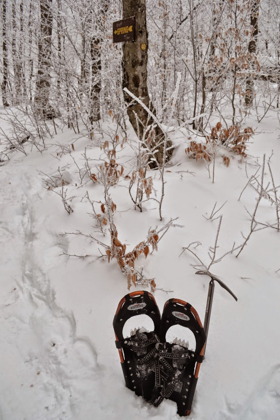
There's a piped spring above the first switchback. It was running well. Its outlet grew ice crystals in fanciful shapes.


While Jon tanked up at the spring, I had to sit down and adjust my sock liners. That can get to be quite the project when you have to undo snowshoe bindings, gaiters, boots, oversocks and plastic bags to get to them!
Alas, the adjustments didn't keep me from discovering a blister when I got home. (Memo to self: Don't forget the rubber bands when using newspaper bags as a vapor barrier, because they will mess things up if they slide down and bunch!)
At least there's one picture I took!
The switchbacks get trickier, with some icy ledges to negotiate.


Chris waiting patiently for me to catch up

Chris is the fastest hiker of the three of us. We caught up as he was waiting in Lockwood Gap, wondering what was keeping us. Jon stopped in the col to switch to full crampons. I was finding that ascent showshoes were gripping the slope well, so just flipped the heel lifts up and kept plodding along with snowshoes and poles.

In nice weather there would be spectacular views of Black Dome and Thomas Cole Mountain from the exposed ridge as we go up. This, time, though, we were completely socked in, and the clouds allowed us no views on the entire trip. (We did enjoy looking at the sparkling rime on all the trees.)

Chris on the ridge

I love Chris's "you have got to be kidding" expression!

And we continue on up the ridge...


... with me bringing up the rear as usual.


Finally, we got over the last big step. At that point, the grade moderates to a pleasant walk through balsam forest. We all got snow and rime down the backs of our necks, as we had to push our way through branches that were hanging down into the trail from the weight of ice and snow.

Chris was exuberant about reaching the summit. It was his first winter climb in the Catskills.
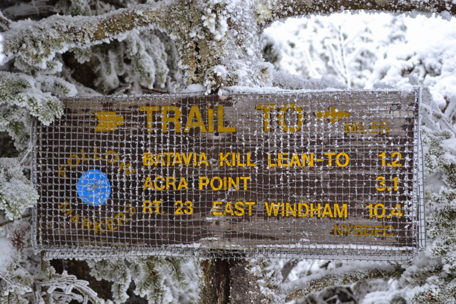
Up there, the trail signs are wrapped in hardware cloth in hopes of deterring the porcupines from eating them. Legibility suffers a bit.

A passing hiker was kind enough to get a group shot of the three of us.

Chris readies an ice axe before starting his slide.
And then it was time to grab a quick bite to eat, turn around and start the trip down. Jon was all for continuing on over Black Dome and Thomas Cole (finishing up, perforce, by headlamp), but I decided that I wouldn't be safe doing so, and I was really uncomfortable about even hiking out solo. After some discussion, we decided to take the prudent, if disappointing, path, and hike out the way we came. To save time (and have some fun!) we did an ice axe glissade down the ridge, with Chris getting some instruction in self-arrest before we started. I was a little proud of myself when, despite being decades out of practice, I finished up at the bottom by rolling into a self-arrest rather than heel braking, and heard Jon say, "Like that, Chris!" Apparently I haven't forgotten it all.

The trip past the switchbacks was uneventful, but I was continuing to flag. Having had only about four hours of sleep the night before wasn't helping much!

It wasn't until we were on the nearly level stuff on the approach trail that I really became glad that I'd talked the guys into walking me out. I fell over with a horrible leg cramp - I couldn't put weight on that side at all - and had to spend ten minutes there writhing in the snow [1] and trying to stretch before I could even stand up. I'd probably have had quite a panic attack had I been alone.

Upon regaining my feet, I continued to trudge shakily to the car, making it just as the last rays of twilight were fading.


I drove Jon and Chris back to the other car, and we parted ways with Jon shaking my hand and saying, "Until next time!" I think his patience is admirable when he is willing to say that there will be a next time!

What went right?  Ascent snowshoes performed admirably, and I managed to get in a small amount of ice axe practice. A lot of winter technique that hadn't been exercised in years came back to me. And now the four winter peaks for the Catskill 3500 Club are behind me. I have just a handful of ascents to finish up.

What went wrong? I was ill-prepared physically for an ascent in full-on winter. I'm writing this at home, still hurting some from the lacerated shin, the heel blister, and the muscle soreness from all the unaccustomed muscle uses: lifting heavy snowshoes repeatedly, rolling ankles and working calves to engage all the points on crampons, self-belaying on a ski pole, and so on. Then again, I don't know of any good way to prepare for something like this other than doing it. I just don't get the opportunity often enough!

Besides, if you don't come back battered from some of your trips, you aren't having enough fun!

Thanks to Jon and Chris for being so very patient with an old man!


[1] ^ Dear spelling checker: Please do not auto-correct 'writhing' to 'writing'. Writing in the snow is something that I do only when my bladder is full.

Read more...

Monday, November 3, 2014

2014-11-02 North Dome - a pilgrimage, or a bugbear laid to rest.

On November 2, 2014, I climbed North Dome in the Catskills with Jon, an occasional hiking partner of mine, and his friend Chris.

The trip that this report describes is in the nature of a pilgrimage, and the slaying of a personal bugbear. As far as I know, I'm the first in my family to climb North Dome Mountain since the tragic events of 1940.

Note: I expect to be able to include more pictures soon. My partners did most of the photography on this trip.

I'll let the newspapers describe the piece of family history that North Dome represents.


From the Brooklyn Daily Eagle, 29 November 1940, page 7:

Brother Vamps Join Search for L.I. Hunter Missing 3 Days
Special to the Brooklyn Eagle

Inwood, Nov. 29—Twenty-five members of the Inwood Volunteer Fire Department today joined the search for Wesley Meserole, 28, of 143 Lord Ave., here, who disappeared last Tuesday on a hunting trip in the mountainous countryside near Spruceton. Meserole is a member of long standing of the local fire company.

Headed by Nassau County Police Sgt. Robert O. Kirk of the Woodmere Precinct, brother-in-law of young Meserole, the firemen left here in five automobiles. The missing man's wife is on the verge of collapse at his home, where she and their two children are anxiously awaiting news.

Police Continue Search

Spruceton, N. Y., Nov. 29 (UP)—State police, CCC workers and volunteers continued to search the woods near here today for Wesley Meserole, 28, who disappeared on a hunting trip Tuesday. Meserole, father of two children, left his Inwood, L. I. home Monday. Hunters at a Catskill mountain camp said he had ascended nearby North Dome Mountain. State police were notified when he failed to return that night and a search has been in progress since.


From the Catskill, N.Y. Examiner-Recorder,, January 9, 1941, page 5:

Shells Identified As Fired By Meserole

Shotgun shells found in Mink Hollow, town of Lexington, were positively identified by experts as shells fired by Wesley Meserole, Inwood, L.I. hunter who has been missing since November 26 when he left a Spruceton farmhouse to go hunting.

The search for the hunter is expected to continue whenever weather permits and many county residents, CCC boys and friends from Inwood have participated in the search.


From the Catskill, N.Y. Examiner-Recorder,, April 24, 1941, page 1:

TO SEARCH FOR MISSING HUNTER AGAIN SUNDAY

Volunteers are again requested to join in a search of the Mink Hollow and Broad Street Hollow sections near Westkill in a final effort to locate some clue to the mysterious disappearance of Wesley Meserole, Inwood, L.I. hunter who vanished during a hunting trip on November 26.

The search, to be held Sunday, May 4, is sponsored by the Inwood Volunteer Firemen. Cooperation will be offered by county volunteer firemen and others from several sections of the state. State Troopers, game wardens, fire wardens, local police, and residents will also join the hunt. It is hoped that sufficient manpower will be present to comb every inch of the territory in which Meserole had been hunting.

Searchers are requested to report at Westkill Community Hall at 8 a.m., Sunday. Sandwiches and coffee will be served throughout the day.

Since Meserole's disappearance, several attempts have been made to locate the missing man, his gun, or some definite clue which might help in solving the mystery of his disappearance. After January 12, the search was discontinued due to the snow on the mountains.

The only clues found so far have been discharged shotgun shells identified as the same type used by Meserole.


From the Catskill, N.Y. Examiner-Recorder,, May 15, 1941, page 1:

EXPECT 500 MEN TO JOIN SEARCH FOR MESEROLE

The search for Wesley Meserole, missing Inwood, L.I. volunteer fireman, who disappeared while on a hunting trip near Westkill, town of Lexington, on November 26, will be organized this Sunday, The search, a final attempt to solve the mysterious disappearance of the hunter, was originally scheduled for May 4, but was cancelled when the state closed the woods to the public due to the danger of fire.

More than 500 searchers, consisting of volunteer firemen and co-operating residents from Inwood, Meserole's home town, and communities throughout Greene and adjacent counties are expected to join the searching parties.

Charles Stewart, president of the Green County Firemen's Association, is in charge of the arrangements. All searchers will leave the Westkill Community Hall at 8 a.m.


From the Catskill, N.Y. Examiner-Recorder,, May 22, 1941, page 1:

SEARCHERS FAIL TO FIND ANY TRACE OF LOST HUNTER

Although upwards of 400 men gathered at Westkill on Sunday for a final search through the Broad Street Hollow, North Dome, and adjacent areas, no trace of Wesley Meserole, 29, was found.

Meserole, a volunteer fireman from Inwood, L.I., has been missing since he started on a hunting trip last November.

Participating in the search Sunday were volunteer firemen from nearly every company in Greene ounty, as well as representatives from Columbia and Schoharie counties, Inwood, and residents from the nearby communities, headed by men from the Conservation Department, the sheriff's office, State Police, Charles Stewart, president of the Greene County Firemen's Association, and Frank D. Meserole, the missing man's father.

Any number of miscellaneous objects, left by countless hunters in the area, were found, but nothing could be located to indicate the whereabouts of Meserole.

Many persons apparently are convinced that Meserole was accidentally shot and killed by another hunter, and that the body and all equipment which he carried, have been hidden in the rocks or buried. The mystery may remain unsolved forever. Providing Meserole was killed by another hunter, hope has been expressed that a guilty conscience may cause the killer to reveal the whereabouts of the body in due time, either by personal confession or by an unsigned message to the authorities.


From the Catskill, N.Y. Examiner-Recorder,, May 29, 1941, page 1:

$1,000 REWARD OFFERED FOR BODY OF W. MESEROLE

Determined to solve the mysterious disappearance of his son, Wesley Meserole, Frank Meserole now offers $1,000 reward to any person or persons locating the missing Inwood, L.I. hunter, dead or alive.

Meserole disappeared on November 26, 1940, while hunting rabbits in the town of Lexington, south of the Westkill and Spruceton road, presumably in the Broad Street Hollow area.

Thousands of searchers have combed the mountainous area of North Dome where the hunter was last seen. The hunt continued for some time after Meserole disappeared, although the men were handicapped by snow, the first of which fell the night Meserole was reported missing.

A final search was organized on May 18 when a large group of men, composed of volunteer firemen, civilians, friends from Inwood, state police, game protectors, and men from the sheriff's office combed a large area, but failed to find a single clue to indicate the whereabouts of Meserole.

The theory that Meserole had died in the woods as the result of an accident, or from wounds inflicted by himself, is now discounted, since it is believed that his body would have been found on May 18 had the remains been exposed since his disappearance.


A couple of side notes: I'd describe Wesley Meserole as having gone hiking. A strict Methodist, he was never one to "eat the bread of idleness," but carrying a gun would give his expeditions purpose, however unsuccessful they might be—and they most often were. In his time, there was little in the popular conception to distinguish recreational hiking from vagrancy.

The $1,000 that the elder Meserole offered as a reward was quite a substantial sum, more than half a year's wage for a journeyman carpenter in those days. Nobody ever stepped forward to claim it.

Wesley Meserole was the father of Roy Meserole, who eventually became my mother's long-time companion. (I often refer to him as my stepfather, although they never contracted a formal marriage, owing in part to the fact that doing so would jeopardize the assets of both should either ever suffer a severe medical problem.) Among my family, North Dome was a mountain whose name was uttered in hushed tones. When I took up mountaineering in the Catskills, my brother strongly reminded me of the tragic events that befell the Meserole family, and told me in no uncertain terms that I must not leave my wife a widow! With that background, North Dome was the one of the Catskill 3500's in particular that filled me with profound unease, if not indeed dread.

It was against this background that Jon called me on November 1 (rather at the last minute), inviting me to hike North Dome and Mount Sherrill on the following day. I accepted, warning him that I would be a bit of a nervous Nellie on the trip, and telling him some of the family history that made that so. We agreed to meet at the Shaft Road trailhead to shuttle cars.

We got started from the Mink Hollow trailhead in Spruceton (do you recognize names from the newspapers?) in reasonably good order, if at quite some delay, owing to the fact that I got delayed a little bit north of Schoharie village for some sort of police roadblock. I never found out what was going on. They were talking with a good many drivers, but when I finally got to the head of the line, they waved me through.

We walked in on the Devil's Path to roughly the first place where it's possible to turn up North Dome without trespassing. We rock-hopped the Mink Hollow brook, and started up the steep ascent to North Dome.
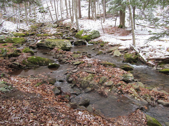
Mink Hollow Brook

About a quarter of the way up, Jon had to sit down, and started looking quite ill, and talking about aborting the hike. Chris and I of course stayed with him, and offered considerable reassurances that we'd not be at all annoyed at an abort, Objective Number One is to come home safe! But it turned out that he'd skipped breakfast, and had had nothing to eat that day but a couple of cups of coffee, and a Slim Jim munched in the car washed down with a can of Red Bull. He got out some of the food he brought, and had a sandwich. We made sure to get extra water into him, since he'd had nothing earlier in the day but salt and caffeine! He came around nicely, and said, "Let's try just moving slowly, and do just North Dome," insisting over our objections that he was well enough to travel.

In the event, it turned out that he was right. He continued to improve and was soon hiking strongly. Nevertheless, I'm a slow hiker, and the various delays made it obvious that we didn't have enough time to do Sherrill and descend to the west.

There had been a dusting of snow at the trailhead, and it gradually got deeper until it was boot-deep at the summit. The snow atop slippery fallen leaves made the ledges quite challenging. It was difficult finding safe footing for scrambling. Still, nobody had a bad fall or got hurt.

We eventually made it onto the north spur of the mountain, making the ledges slightly less high. They were still just as precipitous, and as frequent. They were just somewhat less tall. They continued up into the balsam forest.

Conditions on the ascent

Finally, we emerged onto an open path that led for about half a mile across the flat summit, depositing us directly at the canister.

Crossing the summit plateau

At last, I'd reached the spot that my family's lore had me believe was cursed.
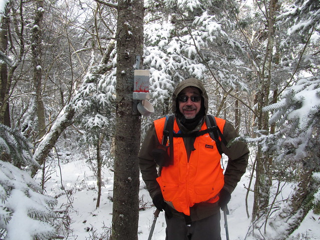
Kevin at the summit

I wrote a lengthy inscription in the log book:

Memorial inscription
IN MEMORIAM
F. WESLEY MESEROLE
BORN 1911
LAST SEEN ON THIS MOUNTAIN
NOV. 26, 1940
LEAVING BEHIND
HIS WIFE GEORGINA
AND TWO YOUNG CHILDREN
ROY AND ETTA

THIS NOTE LEFT
NOV. 2, 2014
ALL SOULS DAY
BY HIS STEP-GRANDSON
KEVIN KENNY 

I hope that for me, at least, that particular ghost will now be laid to rest.

We then started back down the mountain. Jon was quite enjoying his descent, glissading wherever possible. I was going at it considerably more gingerly, glissading only when necessary, mostly when the arses of the two hikers ahead of me had compacted the snow into a slippery mass that would not give me stable footing. A few of my glissades were of the "inadvertent seated glissade" variety. There wasn't really enough snow for a good slide, and I suspect that the rocks may have done some damage to the seat of my pants.

On the way down, I happened to notice a row of trees where the snow had made near-perfect AT blazes - nowhere near the Appalachian Trail. This potential confusion is one reason that I find the AT is interesting to navigate in the winter.

Not AT Blazes

Without much further ado, but on an approach trail that seemed much longer in the afternoon than it had in the morning, we made our way back to my car, shuttled back to grab Jon's car, and got on the road.

After getting into dry clothing, we adjourned to the Sportsman's Alamo Cantina in Phoenicia for a post-hike celebratory meal. The verdict: a successful day.

Map of our tracks:
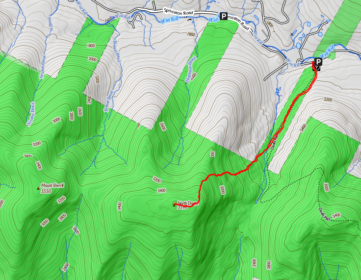
Map of the hike

Read more...

Wednesday, June 25, 2014

Vly and Bearpen Mountains, 2014-06-21

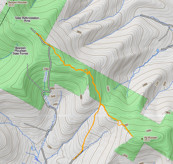
On Saturday, June 21, Catherine and I decided to hike Vly and Bearpen Mountains in the northwestern Catskills. These two peaks are the only ones of the Catskill 3500's that are outside the Blue Line of the Catskill Park. We parked where the pavement ends on Greene County Road 3 south of the ridge joining Bearpen and Vly.

Map of the hike

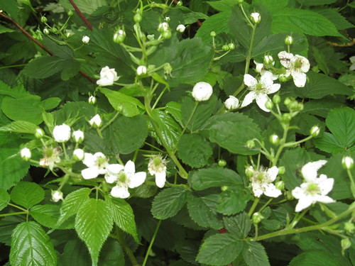
The prickers are starting to grow pretty thick, but are offering a promise of a good crop of berries later in the summer.

Blackberry canes

We hiked up the stony road ("paved" in loose rocks ranging from pea-sized to house-sized, but with a hard and dry surface) up to the pass, where there is a hunter's cabin just to the left of the road. About fifty feet past the cabin, there are the posters marking the state land, and a fairly well-beaten herd path turns off from the road here and follows the state property line up to the summit of Vly.

We followed the herd path without too much difficulty, losing it only once when several deer paths crossed it in a fern meadow; we took the one that appeared straightest, when in fact the true path turned left. Before long, it became apparent that the deer had led us off the ridge, which was above us to the left, so we turned and followed the "double the angle of deviation" rule to rejoin the herd path at the 3200-foot level.

I noticed Catherine getting the "umbles" (stumbles, fumbles, mumbles and grumbles) about this point and demanded whether she'd been drinking enough. After pushing about a litre of water over the next 15 minutes, the spring was back in her step, and we arrived in good order at the summit of Vly.

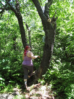
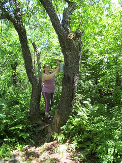
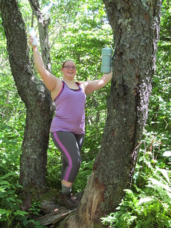
Catherine asked to retrieve the logbook from the canister this time, since I'd done it on our last trailless outing or two. She did make a remark or two about "I just climbed a mountain, now I have to climb a tree?" but got it out without trouble, and we signed in.

Reach...Up there...Got it!

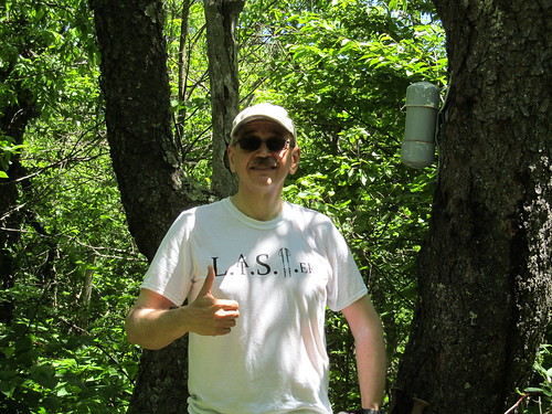
The Vly trip is not very photogenic. The vegetation is fairly dense, not allowing any good views. Moreover, the deerflies were buzzing us, and there were also clouds of other flies buzzing about coyote scat and the remains of coyote kills. We were disinclined to remain atop Vly any longer than necessary, and decided that it was not a good lunch. We gave 'thumbs up for the summit' and started back down the way we came.

Thumbs up for the summit!

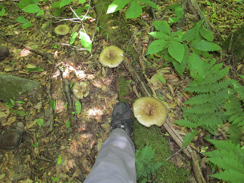
On the way back down, we noticed that Vly grows some enormous mushrooms. My size-12.5 boot gives the scale.

Mushrooms

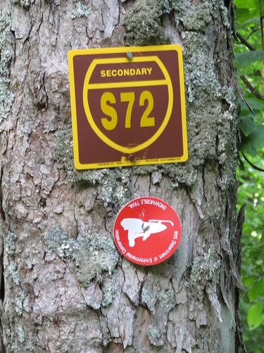
Once back to the road, we crossed in front of the cabin's front porch, on an old road blazed 'Secondary Snowmobile Route S72.' (I hope the snowmobilists don't look like the picture on this blaze!)

Snowmobile trail

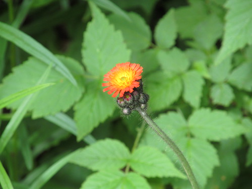
The road climbs evenly but fairly steeply up the side of Bearpen's east ridge. On the first couple of hundred feet of ascent from the pass, there is a small stream running right down the road, fed by two springs on the uphill (west) side. We noted the flows as a possible place to treat water if we ran short, and continued up the road, which then makes a couple of switchbacks around 3200 feet elevation. Catherine noticed a patch of pretty orange flowers there, and I spent a little bit of time in photography. Alas, pretty as they are, they're orange hawkweed (Hieracium aurantiacum), a noxious invasive.

Orange hawkweed

The switchbacks also gave us a view back at Vly Mountain, which we'd just climbed. This was our first (poor) view of the day: the first part of the hike was truly in the Green Tunnel.

Looking back at Vly Mountain

Just above the switchbacks, the snowmobile trail turns right from the road and climbs a rocky slope with a moderate grade. At the top, the grade lessens and remains slight all the way to the Bearpen summit.

At about 3400 feet, an obvious herd path branches right from the snowmobile trail and heads northwest. This path is said to cut about 0.3 miles off the trip, and we took it. When it rejoins the snowmobile trail, it's on the old Johnson Hollow Road (now closed to motor vehicles other than snowmobiles). Despite the fact that the closure was posted at intervals along the entire route, some ATV riders have been up here, and their bikes have churned the trail into a lake of mud. I resisted the temptation to rig a trip wire (resistance was easy; I don't carry piano wire in my backpack!) and we plooshed through the deeper parts and soon arrived at the summit.

Just before the summit, the trees open to the right, and give some views that are a promise of what's to come.. The Schoharie Valley is visible through a gap in the trees, and by standing on a rock and craning one's neck, one can get a good look at the Schoharie Reservoir (with the Blenheim Power Project and Vroman's Nose beyond) and at Huntersfield Mountain.

First glimpse of the Schoharie valley
Schoharie Reservoir
Huntersfield Mountain

At the summit itself, the woods open into a clearing, once the top of a ski tow.
The summit of Bearpen Mountain

Why the ski run? The mountain was once the Princeton Ski Bowl (associated with Princeton University only in that its founders were alumni) and is reported to have had awesome skiing until its demise in the 1960's. The locals tell a tale of legal jiggery-pokery in which the owner of a competing resort and the state surveyor contrived to move property lines, cheating the owner out of title to the acreage he thought he'd purchased. One version of this tale is told by Russ LaChapelle (as told to James Michaud) "Bearpen Mountain: The Original Beast of the East", Harvey Road: The New York State Ski Blog, March 15, 2011. Not having heard the other side of the story, I shan't comment further, and I suppose that however it happened, having more Forever Wild land is most likely a good thing in the long run.

Stepping out to the top of the ski run, one gets a view to the north encompassing the entirety of the Schoharie Valley.

View from near the summit

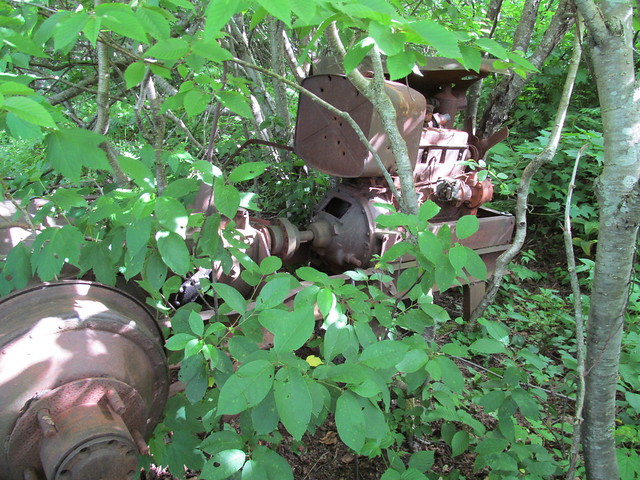
Just off the clearing is the carcass of a truck that had apparently seen a second life as the engine for a ski tow, driving it by means of a windlass attached to a rear wheel.

Rope tow machinery

Farther west, there's another clearing with another fine view to the north.
View from near the summit

The run that starts here must have been an expert-level one. It drops quite precipitously, with a vertiginous look at the farmlands near Great Gorge.
Looking down an old ski run

The trail sees foot traffic, and looks as if it might still be skiable with a decent snowpack.
Old ski run

Once again, there's abandoned tow machinery. This time, it looks to have been a farm tractor. Kevin wonders about the wisdom of using even a long-abandoned gas tank for target practice, and shrugs his shoulders.

Rope tow

Just a few steps to the west, an undercut ledge has even more spectacular views across the valley of the East Branch of the Delaware, including the slopes of Ski Plattekill.

West ledge of Bearpen Mountain

I found stepping out on the ledge a trifle disconcerting, since I very nearly stepped out onto the crown of a full-grown ash tree.

Stepping out to a viewpoint

Catherine took it in stride.

National Hike Naked Day

Once out on the ledge, we noticed the runs of Ski Plattekill, across the valley of the East Branch of the Delaware.

Ski Plattekill

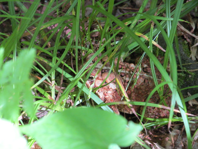
Catherine and I made the mistake of not proceeding down the snowmobile trail a trifle farther, because I learnt only later that further ruins (including a pond dug for ice skating and an even larger ski lift engine) lie in the col to the west, before the trail climbs again to North Bearpen Mountain. Instead, we bade farewell to Bearpen, turned around and made our way back down the snowmobile trail, again taking the unblazed cutoff to get off the muddy road as soon as possible. The trail is wet enough that there are lots of amphibians. Can you spot the fellow in this picture?

Can you spot the animal in this picture?

It's hard, isn't it? I'll zoom the camera in for you. Here he is, well camouflaged. Look for his eye, dead center in the picture. He's facing to the left.

Toad

Below the cutoff, I kept following snowmobile blazes, which Catherine now tells me proceeded in two directions, the way we had ascended and the way that I turned. We made our separate ways, she skipping down the way we had come and me wading down a blazed trail that was an ocean of nettles and prickers. Because of the vegetation, it was quite hard for me to see my footing, and I wound up perhaps fifty feet below the trail on steep and broken rock before realizing that I'd lost it and scrambling back up. She hove into view and directed me (being able to look along the trail I'd missed) just as I was managing to climb up onto the switchback that I'd accidentally dropped off. I continued on the trail and rejoined her.

The trip back to the car was uneventful, with Catherine informing me that this trip was fun even at the end of the day: more often, she says, our hikes are fun only in retrospect!

General impressions: Vly has little to offer: no views, many bugs, and a ton of bear and coyote scat stinking up the place. It's steep enough that it might be a bit of a slog even on snowshoes (although quite possibly easier in winter than in summer's growth). Bearpen more than makes up for it with its views and archaeology. Bearpen is a surprisingly easy walk, entirely free from rock scrambles even at 3500 feet (where it seems that every other mountain in the Catskills has a big step).
Surprisingly, given the altitude, neither moountain has any balsam, and the ordinary mixed-deciduous forest continues right to the summits. I suspect that the deeper snowpacks here (which are the stuff of legend among the ski community) protect the beech, birch, maple and ash from freezing in the winter and allow them to grow all the way to the top.

Progress toward Catskill 3500's:
Kevin: Summer: 22/35 peaks climbed. Winter 3/4 reclimbed.
Catherine: Summer: 7/35. Winter 2/4. (She's been away!)

I need to find more hiking partners: except for three or four, the remaining peaks are ones that are outside of my solo-hiking risk tolerance. I figure I can solo Peekamoose, Table, West Kill, maybe Big Indian. The remainder are the nine hard bushwhacks, plus Blackhead in winter. I'm good enough with land navigation that I'm willing to lead a trip to a place I've never been, but I do want company..
Read more...