Come the twentieth century, the Catskill hikers decided to spite the Devil, and laid out a trail right down that range, climbing and descending its notches right up and down the fall lines. Having come up with a path so tough that those who hike it say only Satan himself could have designed it, they named it after the range, and it, too, became the Devil's path. In its 25 miles, it has no less than 18,000 feet of elevation change, most of it in scrambles up jumbled rockslides. It is usually accounted among the toughest hikes in the Northeast, right up there with the Precipice in Acadia, the Presidential Traverse in New Hampshire, and the Great Range of the Adirondacks.
On Saturday and Sunday, I decided to test my mettle against two of the Devil's Path peaks. (I'd previously done three others, so now I have only one more major peak to go on that trail.) I'm not extreme enough to try to thru-hike it in a day, although on Sunday, I encountered four runners who were doing just that! I'll settle for getting there and back again at an old man's pace.
Photos, for the trip, by the way, are at my Flickr site. I include only a few here.
I left my house mid-morning and drove down to the Catskills. An hour and a half later, as I was rounding the hairpin turn by Kaaterskill Falls, it occurred to me: my trekking poles were still leaning right by the door where I wouldn't forget them. Without them, not only would I kill my knees on the downgrades, but I'd have nothing to hold up my tent. (Yes, I could improvise sticks for both purposes, but I don't like starting a trip with faulty equipment.) As I looked to the left and saw Kaaterskill High Peak wreathed in lightning, I turned around, phoned my wife to tell her that the hike was off.
When I got home, the torrential rain had slowed to a drizzle with occasional patches of sun, and my wife handed me my poles and convinced me to give it a try. I decided to curtail my original ambition (which included a loop around the west side of Plateau Mountain), and drove back down to give it a try. I was not on the trail much before 3 pm. I decided to hike over Sugarloaf to Mink Hollow on Saturday, and do an out-and-back to Plateau and the Orchard Point overlooks on Sunday.
The rain continued throughout the afternoon. By the time I was at the trailhead, my new Subaru looked as if it had just been driven through a mudhole.
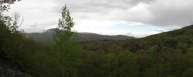
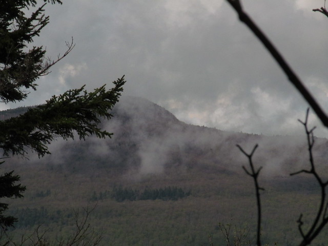
I started out on the trail to Pecoy Notch, first making the trip up the old haul road to Dibble's Quarry, where I decided not to get my rear end wet on the chairs but snapped a quick picture of the stormy view.
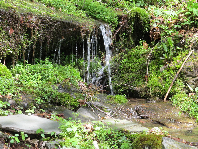
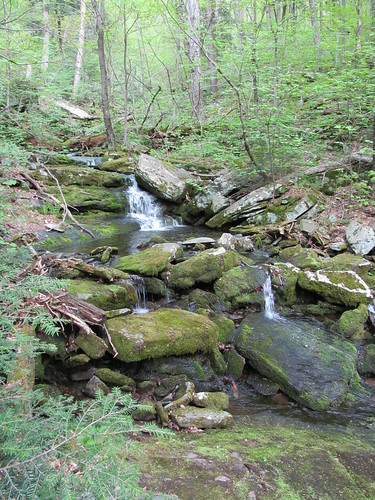
The seasonal spring just above the quarry was running merrily, and had quite flooded the trail.
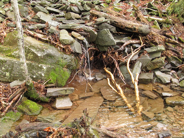
The waterfall was running high enough that I decided to cross above it, rather than following the trail to rock-hop where the bridge once stood.
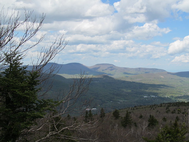
The beaver pond where the trail used to be offers a view of Sugarloaf Mountain, today's destination. You can see how the spring green has progressed only a short way up the mountain - spring comes late to the peaks!
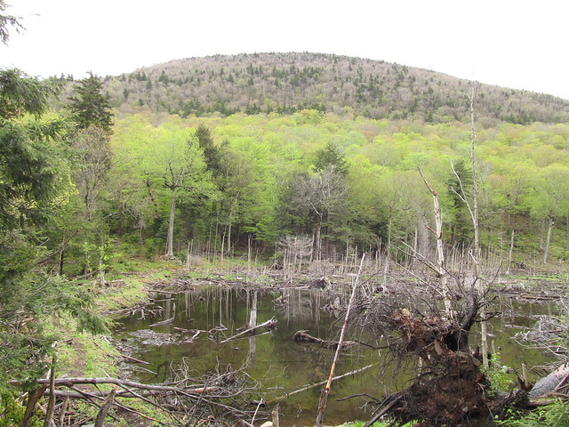
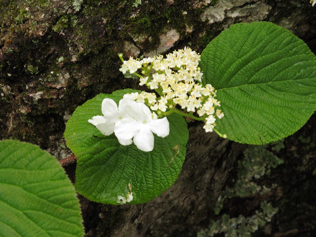
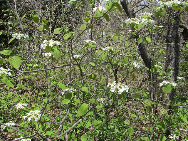
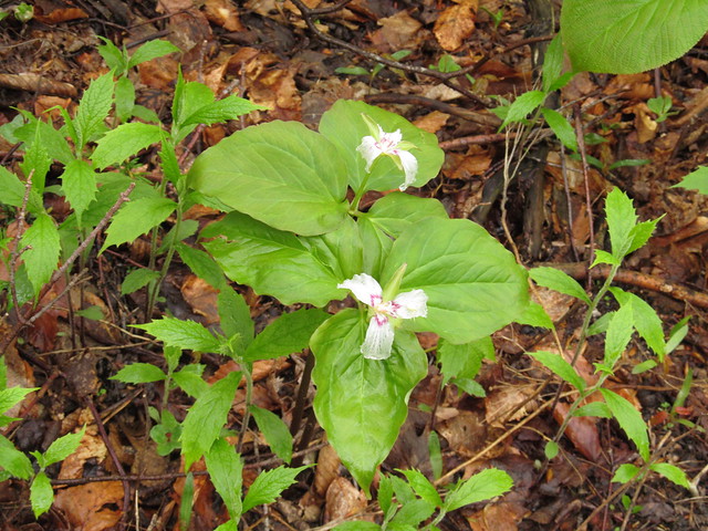
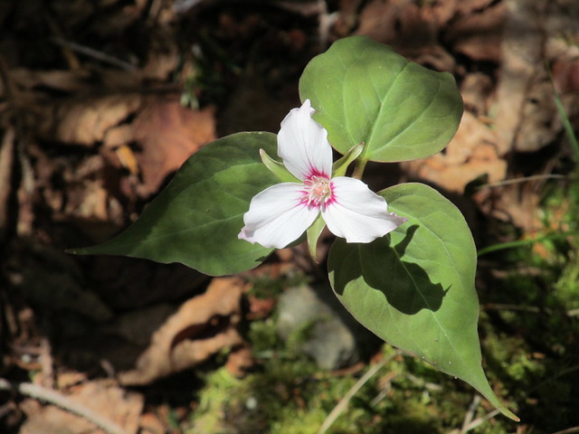
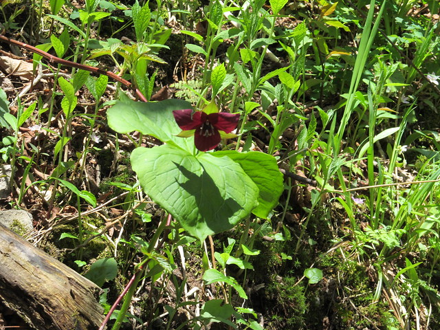
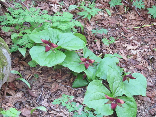
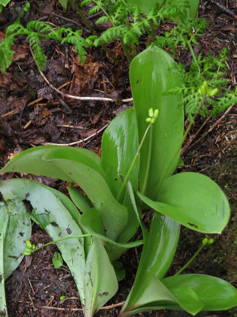
Viburnum and Trillium are in full bloom. Clintonia borealis is in bud, but its yellow flowers haven't quite opened.
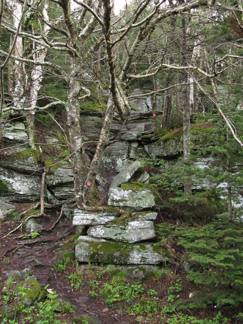
The trail ascends much more steeply from here. The nettles and prickers are visible on either side, but have not yet overgrown it. Later, they are simply another devilish aspect of the Devil's Path! When the trail reaches the col, the Devil's Path itself turns left toward Twin Mountain and right toward Sugarloaf. The ascent of Sugarloaf gets off to a deceptively gentle start, but the very next blaze is a double one, sending the hiker veering off up the first of dozens of rock chutes that the trail will ascend.
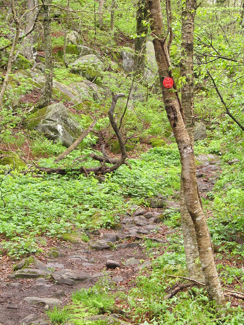
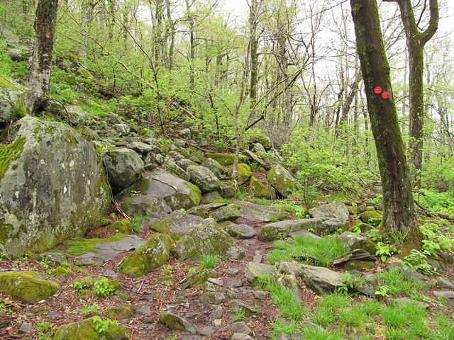
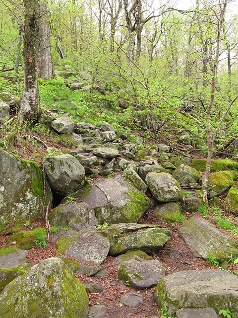
The size of the fallen rocks ranges from gravelly scree up to huge boulders that require some rock-climbing skills to negotiate. Note the round blaze on the tree up above!
It's good not to pay so much attention to your climbing that you neglect the views over your shoulder. Some of the scrambles offer a look to the side at Kaaterskill High Peak (the rain continues to pour), and at the cliffs and talus slopes of Twin, build up over aeons of falling rock. (Fortunately, a brief break in the rain came for the picture of Twin.)

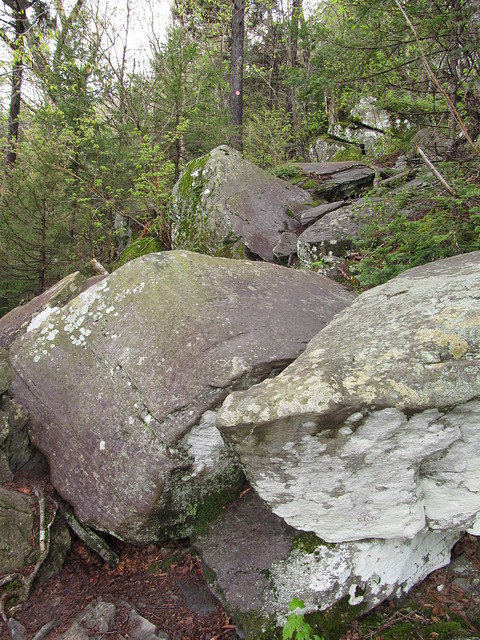
I notice that the balsam forest here begins at about 3100 feet, about 400 feet lower than is typical for the range. I surmise that the jumble of huge boulders that I'm climbing retains ice in the cracks among them, cooling the air and supporting farther-northern (or higher-elevation) species in an "ice cave talus community"
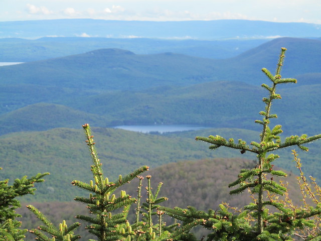
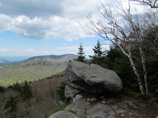
The 3800-foot summit of Sugarloaf has a side trail to a rock outcrop that offers excellent views of the Burroughs Range, Cooper Lake, and the Ashokan Reservoir. The line of the Hudson is marked with a column of mist. The rain let up just enough for photography.
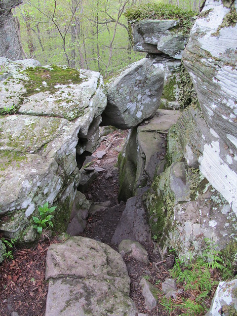
The west side of Sugarloaf is just as steep as the east. Perhaps the most interesting spot is where the trail drops down a vertical chimney with boulders poised above the hiker's head like the blades of guillotines. (The trail immediately turns to make a switchback under the overhanging cliffs, as if to prove to the hiker that there was no good workaround for the chimney!)
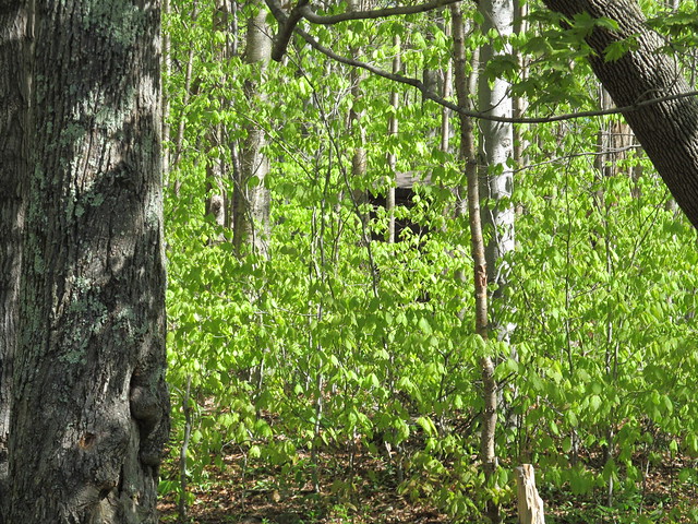
By the time I made it down to Mink Hollow it was late enough that I was fetching water (0.35 miles down the hill to the spring; O joy, O rapture!) and cooking dinner by headlamp. (I managed to pitch my tent and get my bearbag line up in a tree in twilight.) I set up in a nice spot across the trail just out of sight of the Mink Hollow lean-to. Pictures could wait until morning. Sunday dawned bluebird-perfect after a night of intermittent rain.

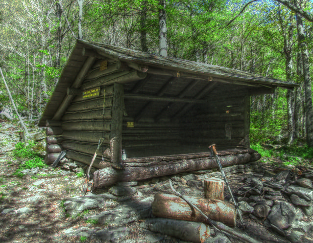
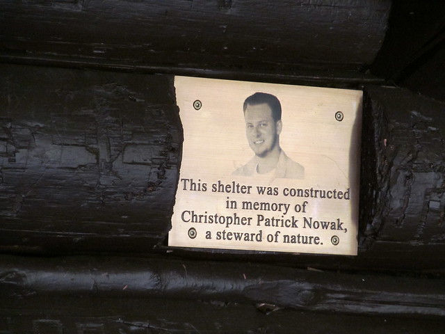
The lean-to is newly rebuilt. It has a bronze plaque inside dedicating it to the memory of a 22-year-old hiker and trail maintainer, killed about five years ago by a drunk driver while taking a walk.
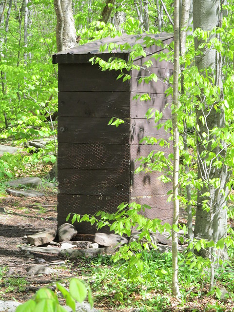
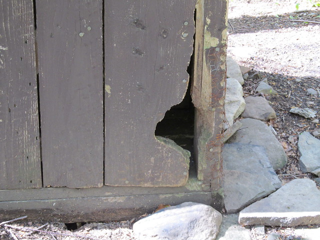
Since I was visiting the lean-to right after having my morning coffee, my eye was drawn to the spade lying next to it. "Hasn't this shelter got an outhouse?" I exclaimed to myself. It's there, though, almost hidden by saplings and with no visible herd path. As I approached, I noticed that it's sheathed in chickenwire in an attempt to deter the porcupines from eating it. They've just about made it through the door, though: the trail maintainers had better make some repairs before they start on the privy seat!
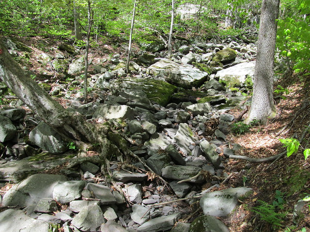
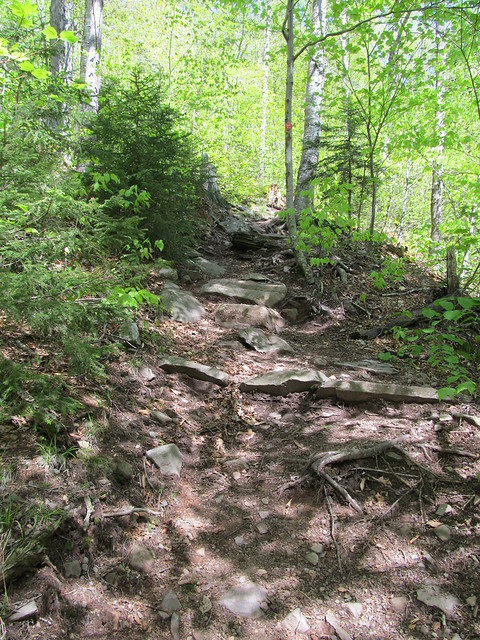
Feeling considerably lightened, I set out up Plateau. I pass an unusual sight on the Devil's Path: a rockslide that the trail doesn't climb! Not that the actual trail looks any more inviting...
About a third of a mile from the lean-to there's a fine spring where I tank up so that I'll have a full water load for Plateau. I hate carrying that much weight, but often the Plateau summit is bone dry, and even when it isn't, the only water is in pretty nasty puddles.
The climb is a long huff and puff up more rock chutes like yesterday's - perhaps even more challenging climbing. I was passed on the way up by about half a dozen trail runners, trying to do the entire Devil's Path in a day. (They'd set out pre-dawn from Prediger Road and were likely to be running out of daylight by the time they arrived at Spruceton.) They were running lightly up talus that I need my hands to ascend. I don't know how they do it!
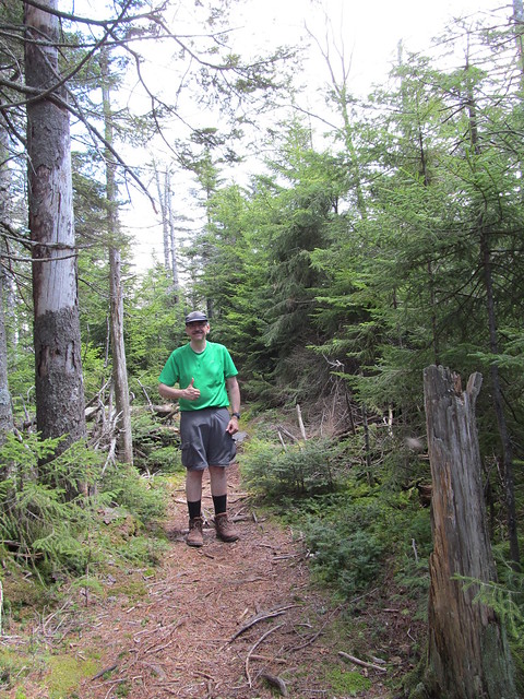
In any case, I arrived at the summit at my own slow pace, managed a weak "thumbs up" selfie, and set up my tripod for an HDR shot of the top. (The summit can be identified only because the rock scrambles end and the trail starts going downward a trifle. There's no view or marker to indicate it.)
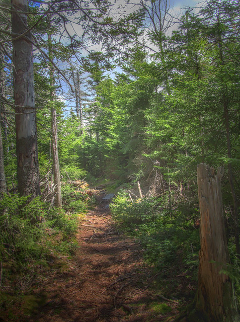
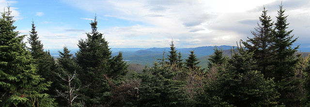
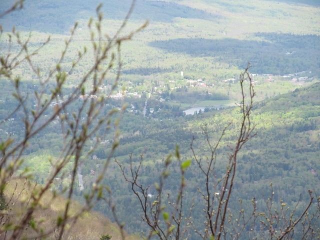
Now comes the fun part. Plateau Mountain must be the Devil's stronghold, and the Devil's Path abates to a pleasant, level walking trail through fragrant balsam forest for two-and-a-quarter miles. Eventually, it comes out at three overlooks. The first offers a shrouded view to the north, but sees the rooftops of Elka Park quite clearly.
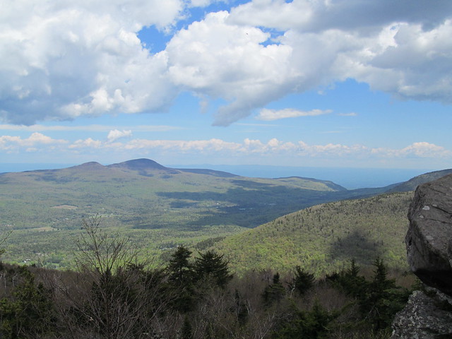
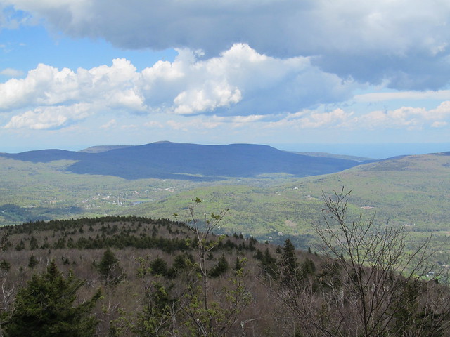
At the second, the rock is set back a bit in the trees, so you have to walk around a bit to get pictures of a view that encompasses Sugarloaf and Twin Mountains, Platte Clove, Kaaterskill High Peak, Round Top, the northern Escarpment, and the Blackhead Range.
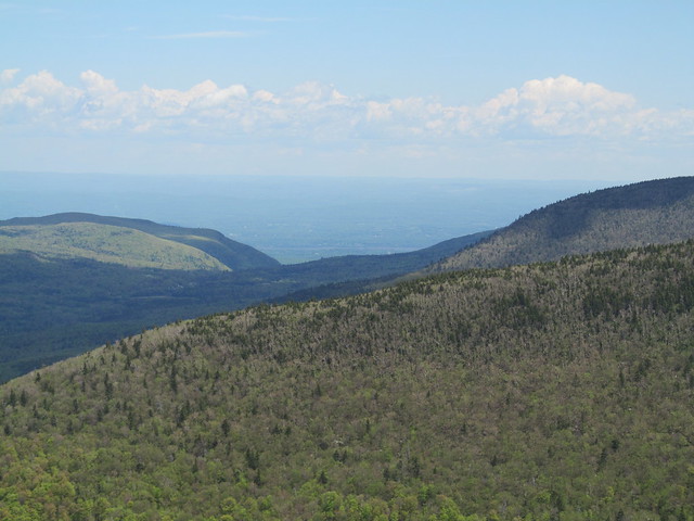
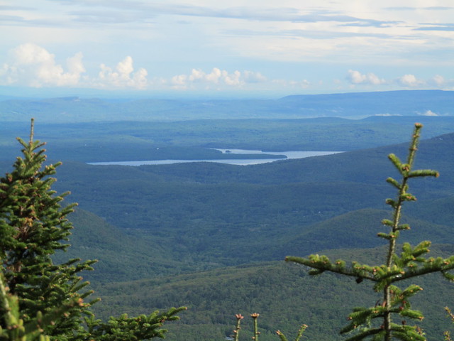
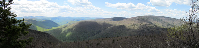
And the third is the best of the lot, with a sweeping panorama looking down the valley of Warner Creek toward the Esopus. It encompasses Hunter, Leavitt and West Kill Mountains to the right, and the whole of the southern and western Catskills: Panther, the Burroughs Range, the ridge from Fir to Balsam, Big Indian, Doubletop, Graham, they're all on the skyline.
I took off my pack and ate lunch at the best of the overlooks. I turned around just before the trail starts another precipitous descent and headed back through the balsam and down the slides to Mink Hollow.
When I got back down there, I encountered three college kids, John, Andrea and Miguel, who have just done Twin and Sugarloaf as a day trip, only to realize that the trail off Sugarloaf comes out at Dale Lane and their car is parked on Prediger Road. I offered them a lift if they can put up with an old man's pace, and refilled their water bottles since I'd just tanked up at the spring on Plateau. (They and I all had got off our respective mountains with no water to spare.)
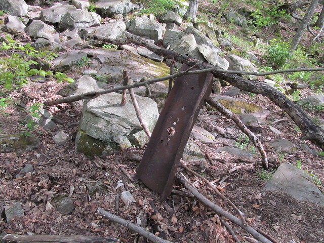
The four of us set off down the Mink Hollow trail, which follows an old haul road part way, until it reaches the edge of the Forest Preserve and is blocked off with an eccentric sculpture incorporating some ironmongery from an old quarry.
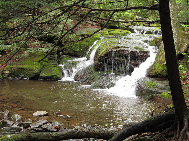
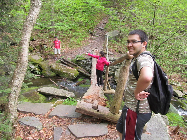
The trail then turns to scramble directly uphill along the state's property line, and once it's above the private land, follows a contour line all the way around Sugarloaf. (At this point, my GPS was pretty wonky, and only got signal back later, so there's a lacuna in my tracks.) On the way, it passes a collapsed bridge. Miguel and Andrea used the bridge anyway; John and I decided to rock-hop the stream. Right above the bridge, there's a pretty waterfall, one of the many that give the Roaring Kill its name.
Beyond there, the trail goes steeply down a series of switchbacks to the junction where I'd gone in on Saturday, and out to my car.
I ran the kids back to their car, came home, showered, ate and crashed. Auld Nick had kicked my butt! A 5-mile half-day followed by an 11-mile day, with about 7500 feet of elevation change between the two, and a lot of rock climbing, is close to my limit at the moment. I'm told that Catskill miles are not ordinary miles, and that, just as with the Whites or the Adirondack Great Range, a typical hiker cuts his mileage in half when approaching them. But at the moment, I'm a Catskill hiker and don't spend that much time in other places.
No comments:
Post a Comment