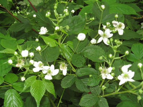
The prickers are starting to grow pretty thick, but are offering a promise of a good crop of berries later in the summer.
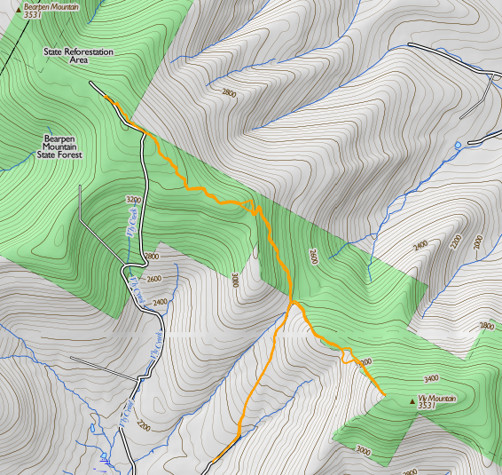
We hiked up the stony road ("paved" in loose rocks ranging from pea-sized to house-sized, but with a hard and dry surface) up to the pass, where there is a hunter's cabin just to the left of the road. About fifty feet past the cabin, there are the posters marking the state land, and a fairly well-beaten herd path turns off from the road here and follows the state property line up to the summit of Vly.
We followed the herd path without too much difficulty, losing it only once when several deer paths crossed it in a fern meadow; we took the one that appeared straightest, when in fact the true path turned left. Before long, it became apparent that the deer had led us off the ridge, which was above us to the left, so we turned and followed the "double the angle of deviation" rule to rejoin the herd path at the 3200-foot level.
I noticed Catherine getting the "umbles" (stumbles, fumbles, mumbles and grumbles) about this point and demanded whether she'd been drinking enough. After pushing about a litre of water over the next 15 minutes, the spring was back in her step, and we arrived in good order at the summit of Vly.
Catherine asked to retrieve the logbook from the canister this time, since I'd done it on our last trailless outing or two. She did make a remark or two about "I just climbed a mountain, now I have to climb a tree?" but got it out without trouble, and we signed in.
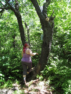
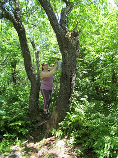
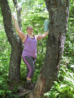
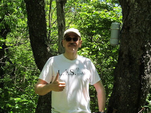
The Vly trip is not very photogenic. The vegetation is fairly dense, not allowing any good views. Moreover, the deerflies were buzzing us, and there were also clouds of other flies buzzing about coyote scat and the remains of coyote kills. We were disinclined to remain atop Vly any longer than necessary, and decided that it was not a good lunch. We gave 'thumbs up for the summit' and started back down the way we came.
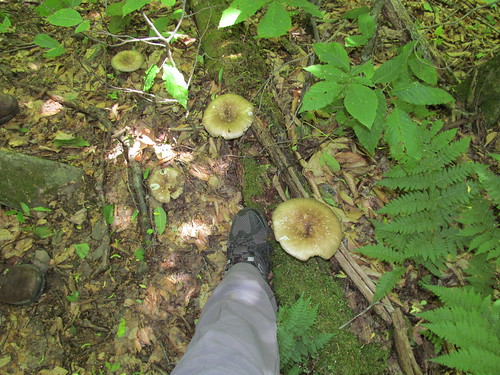
On the way back down, we noticed that Vly grows some enormous mushrooms. My size-12.5 boot gives the scale.
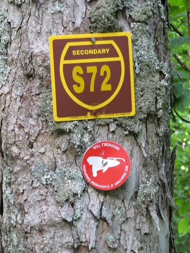
Once back to the road, we crossed in front of the cabin's front porch, on an old road blazed 'Secondary Snowmobile Route S72.' (I hope the snowmobilists don't look like the picture on this blaze!)
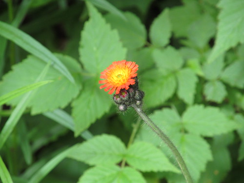
The road climbs evenly but fairly steeply up the side of Bearpen's east ridge. On the first couple of hundred feet of ascent from the pass, there is a small stream running right down the road, fed by two springs on the uphill (west) side. We noted the flows as a possible place to treat water if we ran short, and continued up the road, which then makes a couple of switchbacks around 3200 feet elevation. Catherine noticed a patch of pretty orange flowers there, and I spent a little bit of time in photography. Alas, pretty as they are, they're orange hawkweed (Hieracium aurantiacum), a noxious invasive.
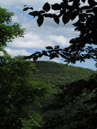
The switchbacks also gave us a view back at Vly Mountain, which we'd just climbed. This was our first (poor) view of the day: the first part of the hike was truly in the Green Tunnel.
Just above the switchbacks, the snowmobile trail turns right from the road and climbs a rocky slope with a moderate grade. At the top, the grade lessens and remains slight all the way to the Bearpen summit.
At about 3400 feet, an obvious herd path branches right from the snowmobile trail and heads northwest. This path is said to cut about 0.3 miles off the trip, and we took it. When it rejoins the snowmobile trail, it's on the old Johnson Hollow Road (now closed to motor vehicles other than snowmobiles). Despite the fact that the closure was posted at intervals along the entire route, some ATV riders have been up here, and their bikes have churned the trail into a lake of mud. I resisted the temptation to rig a trip wire (resistance was easy; I don't carry piano wire in my backpack!) and we plooshed through the deeper parts and soon arrived at the summit.
Just before the summit, the trees open to the right, and give some views that are a promise of what's to come.. The Schoharie Valley is visible through a gap in the trees, and by standing on a rock and craning one's neck, one can get a good look at the Schoharie Reservoir (with the Blenheim Power Project and Vroman's Nose beyond) and at Huntersfield Mountain.
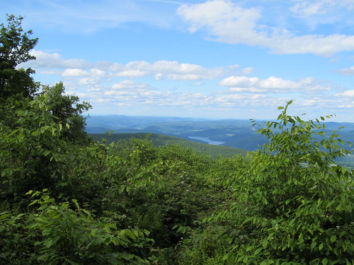
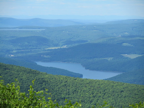
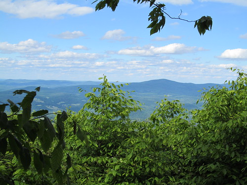
At the summit itself, the woods open into a clearing, once the top of a ski tow.
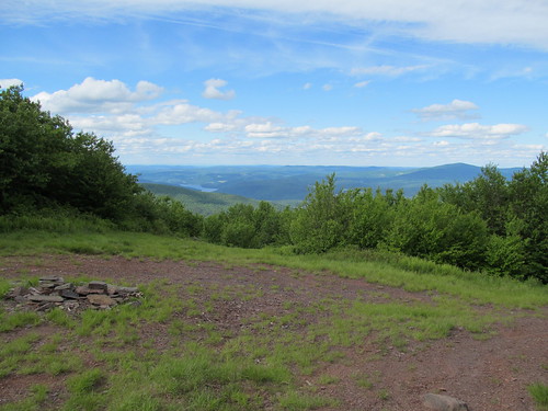
Why the ski run? The mountain was once the Princeton Ski Bowl (associated with Princeton University only in that its founders were alumni) and is reported to have had awesome skiing until its demise in the 1960's. The locals tell a tale of legal jiggery-pokery in which the owner of a competing resort and the state surveyor contrived to move property lines, cheating the owner out of title to the acreage he thought he'd purchased. One version of this tale is told by Russ LaChapelle (as told to James Michaud) "Bearpen Mountain: The Original Beast of the East", Harvey Road: The New York State Ski Blog, March 15, 2011. Not having heard the other side of the story, I shan't comment further, and I suppose that however it happened, having more Forever Wild land is most likely a good thing in the long run.
Stepping out to the top of the ski run, one gets a view to the north encompassing the entirety of the Schoharie Valley.

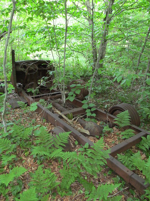
Just off the clearing is the carcass of a truck that had apparently seen a second life as the engine for a ski tow, driving it by means of a windlass attached to a rear wheel.
Farther west, there's another clearing with another fine view to the north.
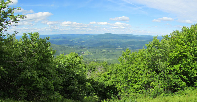
The run that starts here must have been an expert-level one. It drops quite precipitously, with a vertiginous look at the farmlands near Great Gorge.
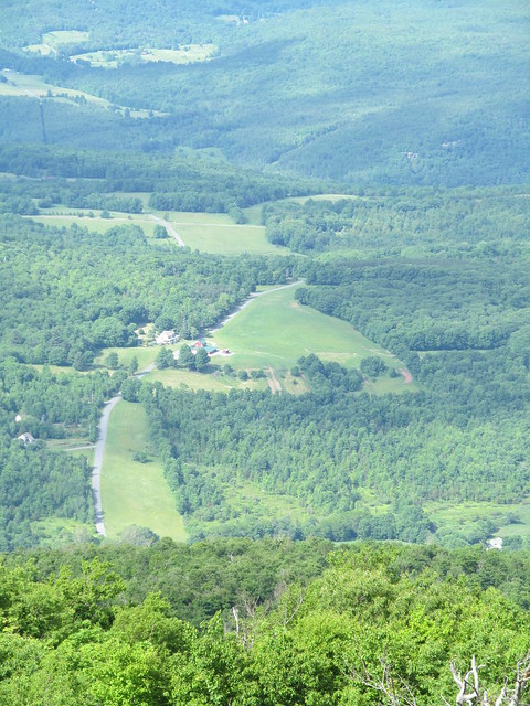
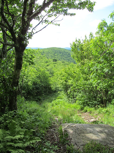
The trail sees foot traffic, and looks as if it might still be skiable with a decent snowpack.
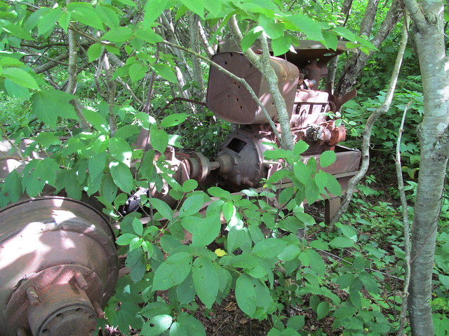
Once again, there's abandoned tow machinery. This time, it looks to have been a farm tractor. Kevin wonders about the wisdom of using even a long-abandoned gas tank for target practice, and shrugs his shoulders.
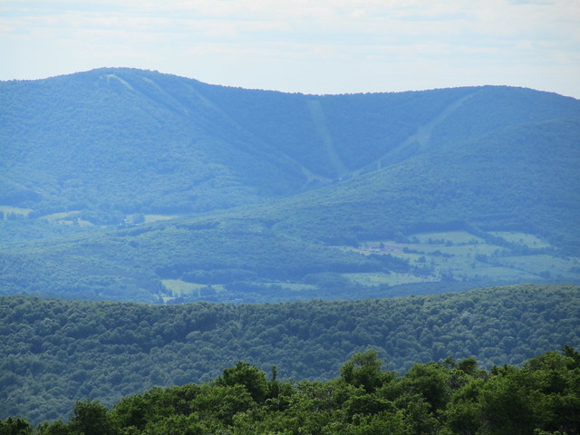
Just a few steps to the west, an undercut ledge has even more spectacular views across the valley of the East Branch of the Delaware, including the slopes of Ski Plattekill.

I found stepping out on the ledge a trifle disconcerting, since I very nearly stepped out onto the crown of a full-grown ash tree.
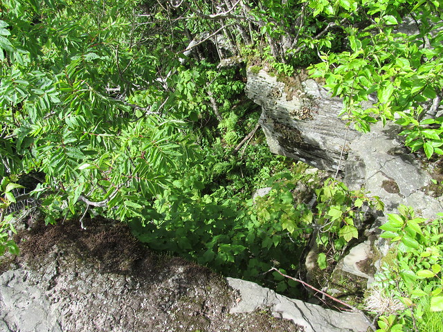
Catherine took it in stride.
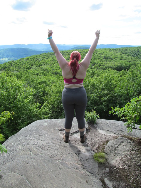
Once out on the ledge, we noticed the runs of Ski Plattekill, across the valley of the East Branch of the Delaware.
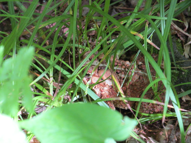
Catherine and I made the mistake of not proceeding down the snowmobile trail a trifle farther, because I learnt only later that further ruins (including a pond dug for ice skating and an even larger ski lift engine) lie in the col to the west, before the trail climbs again to North Bearpen Mountain. Instead, we bade farewell to Bearpen, turned around and made our way back down the snowmobile trail, again taking the unblazed cutoff to get off the muddy road as soon as possible. The trail is wet enough that there are lots of amphibians. Can you spot the fellow in this picture?
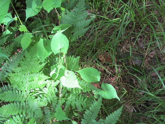
It's hard, isn't it? I'll zoom the camera in for you. Here he is, well camouflaged. Look for his eye, dead center in the picture. He's facing to the left.
Below the cutoff, I kept following snowmobile blazes, which Catherine now tells me proceeded in two directions, the way we had ascended and the way that I turned. We made our separate ways, she skipping down the way we had come and me wading down a blazed trail that was an ocean of nettles and prickers. Because of the vegetation, it was quite hard for me to see my footing, and I wound up perhaps fifty feet below the trail on steep and broken rock before realizing that I'd lost it and scrambling back up. She hove into view and directed me (being able to look along the trail I'd missed) just as I was managing to climb up onto the switchback that I'd accidentally dropped off. I continued on the trail and rejoined her.
The trip back to the car was uneventful, with Catherine informing me that this trip was fun even at the end of the day: more often, she says, our hikes are fun only in retrospect!
General impressions: Vly has little to offer: no views, many bugs, and a ton of bear and coyote scat stinking up the place. It's steep enough that it might be a bit of a slog even on snowshoes (although quite possibly easier in winter than in summer's growth). Bearpen more than makes up for it with its views and archaeology. Bearpen is a surprisingly easy walk, entirely free from rock scrambles even at 3500 feet (where it seems that every other mountain in the Catskills has a big step).
Surprisingly, given the altitude, neither moountain has any balsam, and the ordinary mixed-deciduous forest continues right to the summits. I suspect that the deeper snowpacks here (which are the stuff of legend among the ski community) protect the beech, birch, maple and ash from freezing in the winter and allow them to grow all the way to the top.
Progress toward Catskill 3500's:
Kevin: Summer: 22/35 peaks climbed. Winter 3/4 reclimbed.
Catherine: Summer: 7/35. Winter 2/4. (She's been away!)
I need to find more hiking partners: except for three or four, the remaining peaks are ones that are outside of my solo-hiking risk tolerance. I figure I can solo Peekamoose, Table, West Kill, maybe Big Indian. The remainder are the nine hard bushwhacks, plus Blackhead in winter. I'm good enough with land navigation that I'm willing to lead a trip to a place I've never been, but I do want company..
1 comment:
Hey thanks for linking to our story on Bearpen.
FYI the link has changed:
https://nyskiblog.com/magazine/eastern-us/bearpen-mountain-ny-original-beast/
Post a Comment